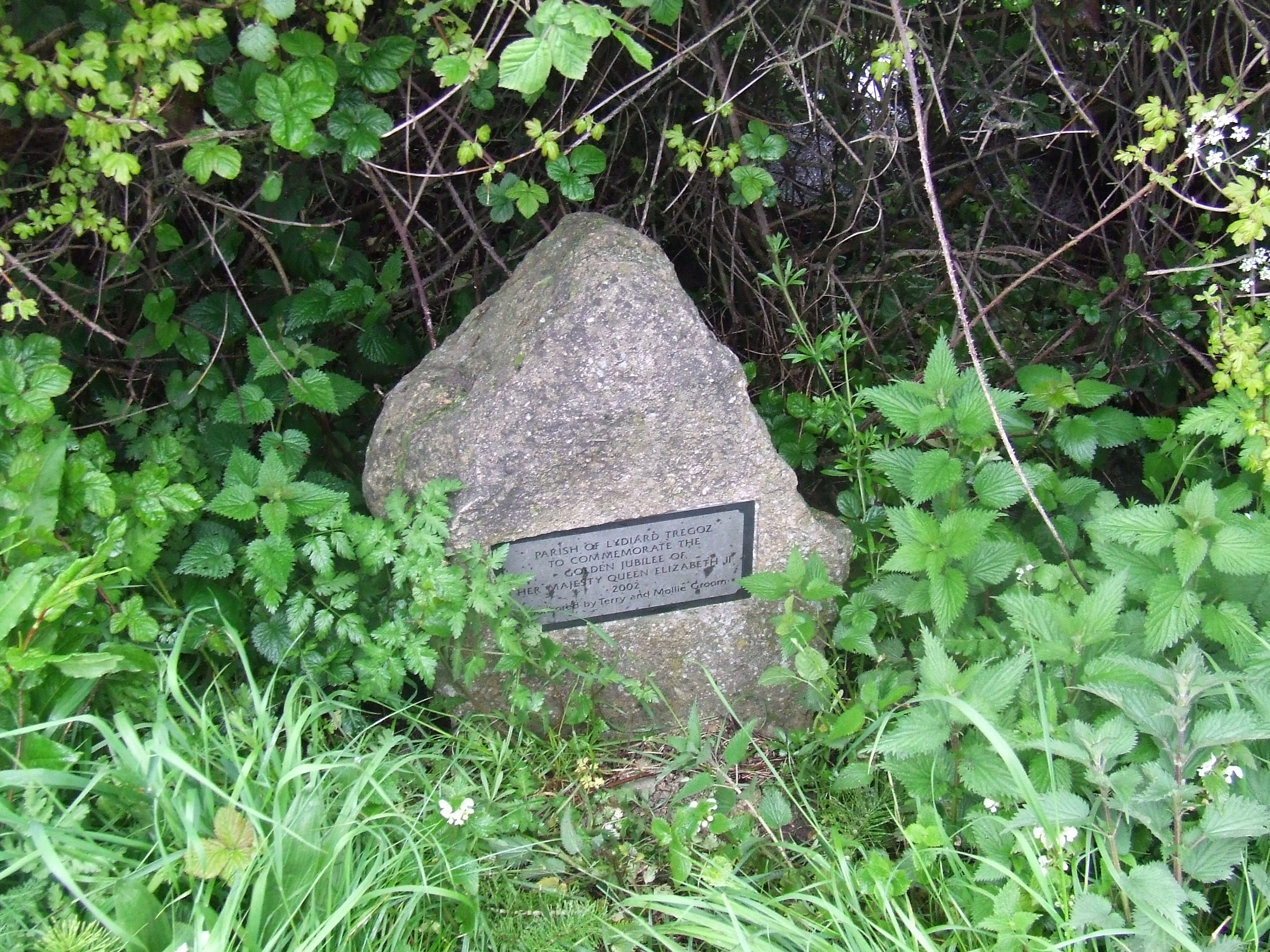
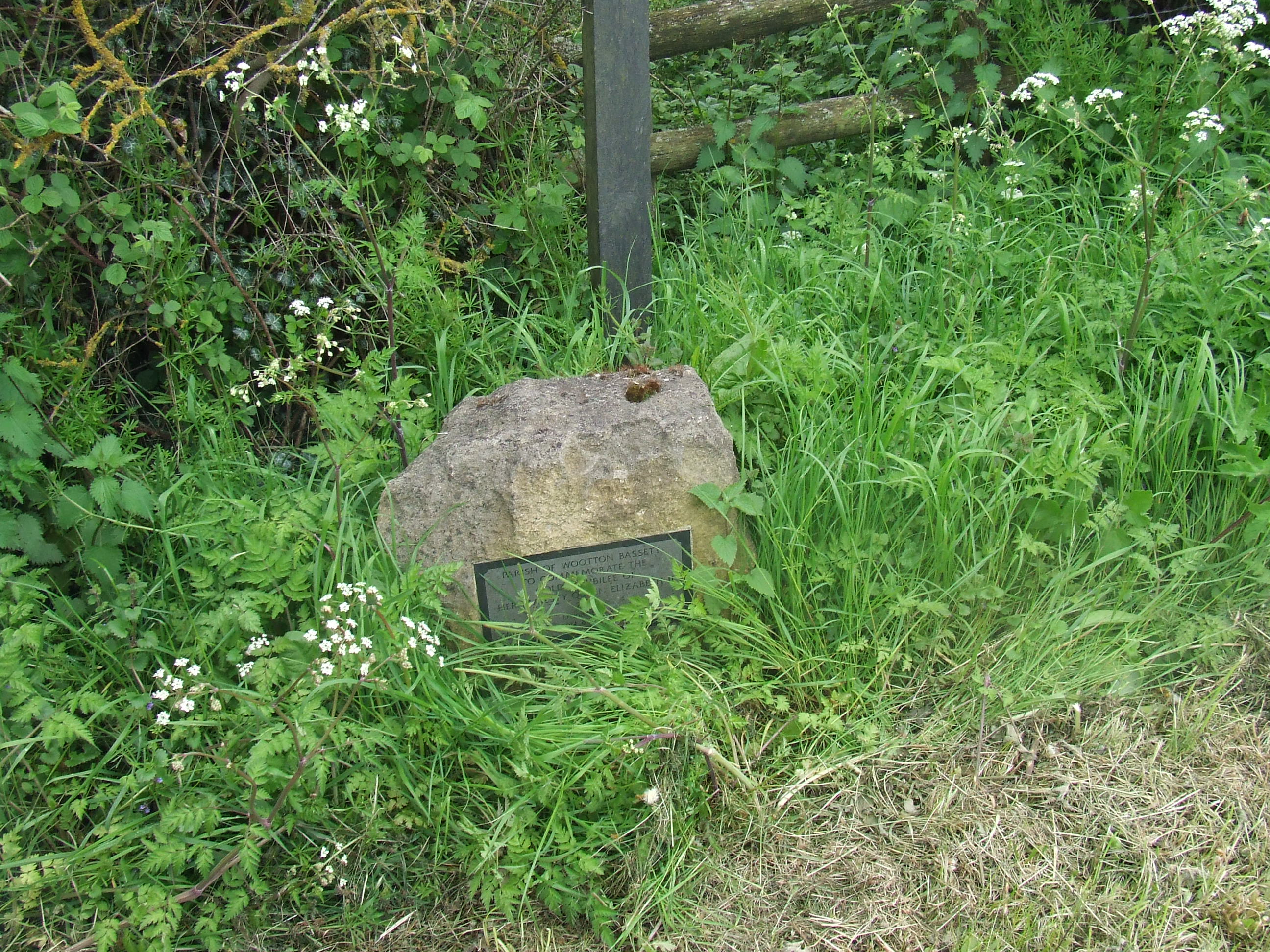
in celebration of the Diamond Jubilee of the accession of Her Majesty Queen Elizabeth II to the throne,
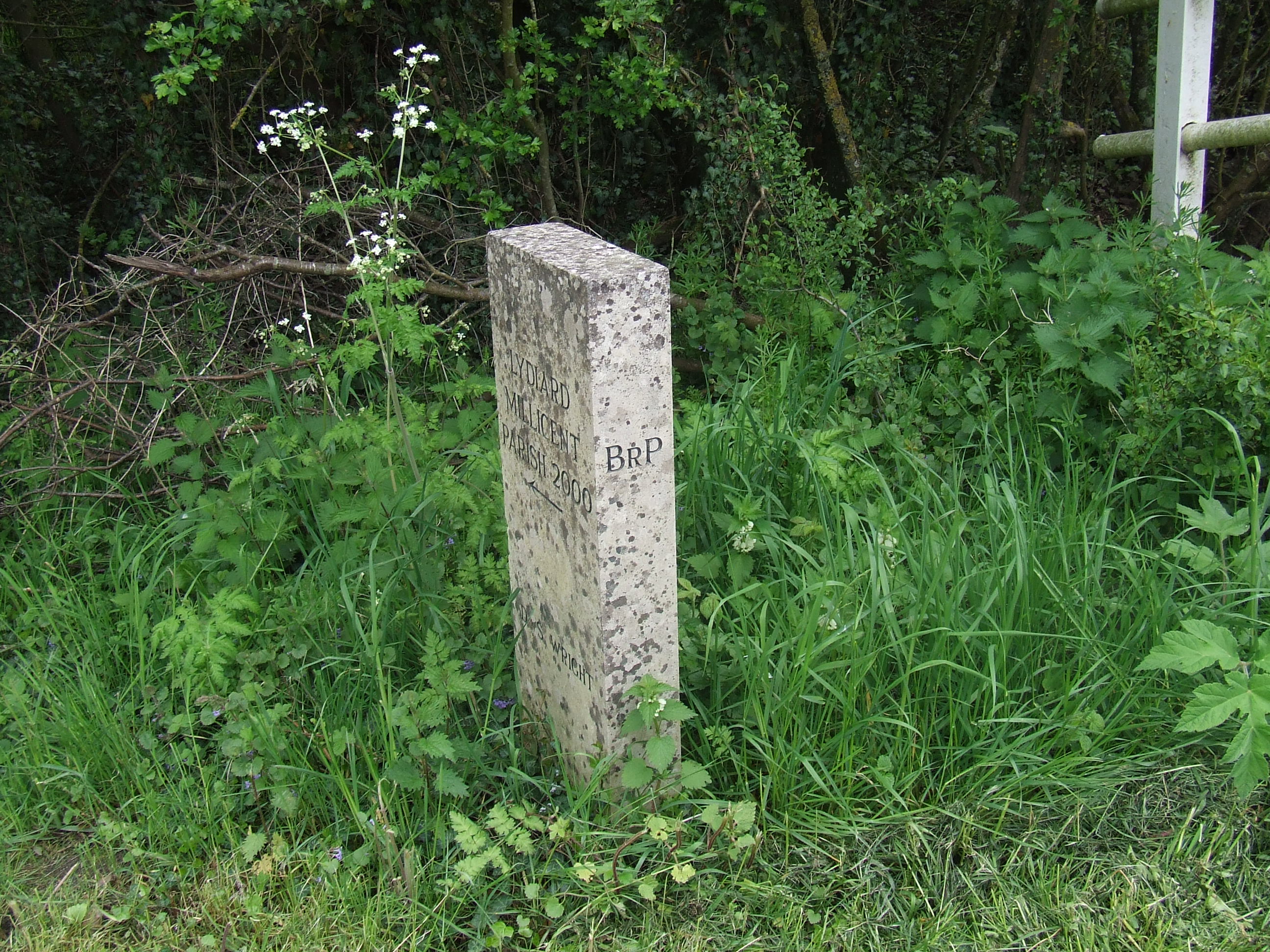
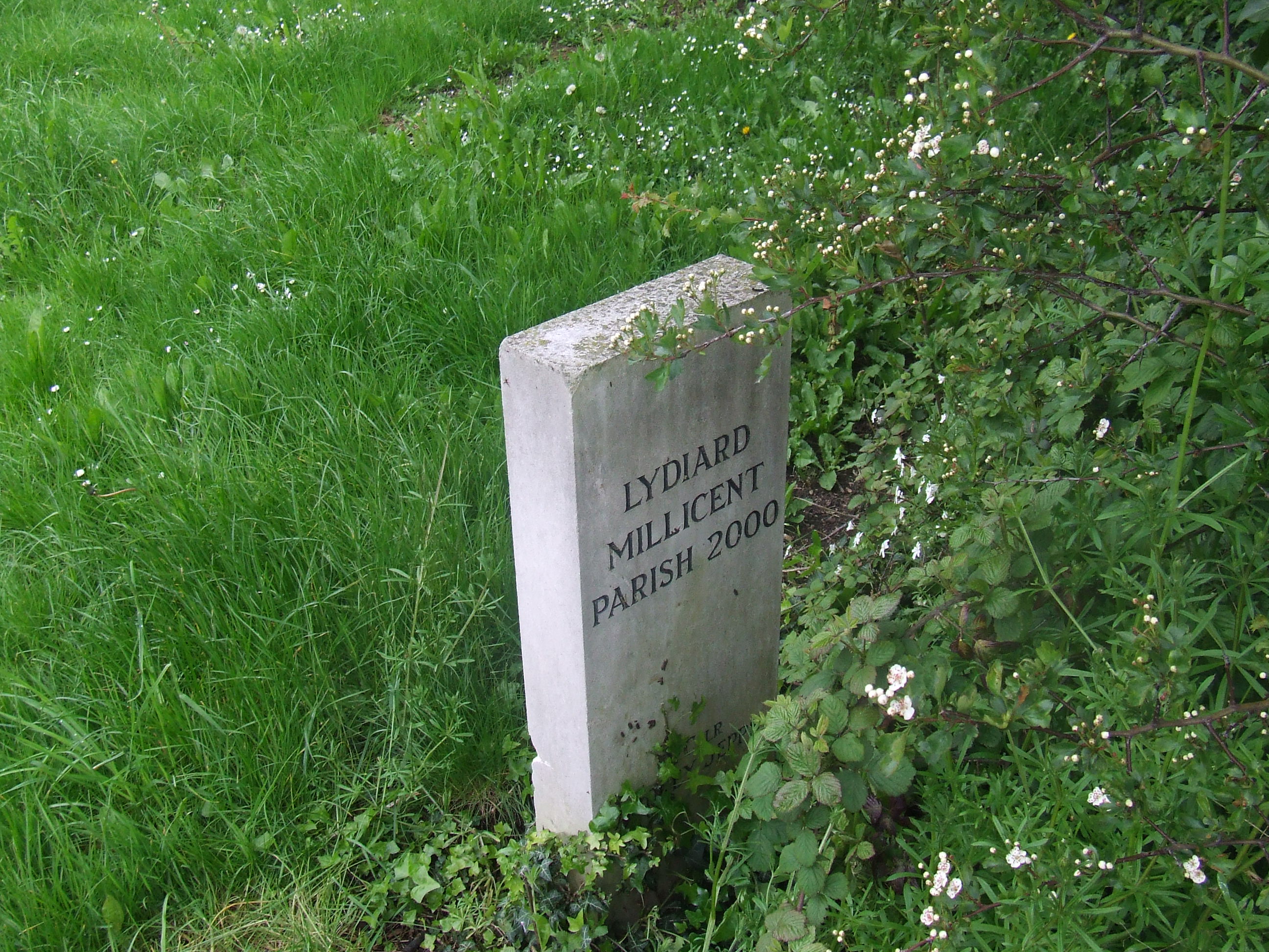
being the first time this has been carried out on the combined parish,
being a complete record of the boundary line, its markers visible on the ground, and of the route walked,
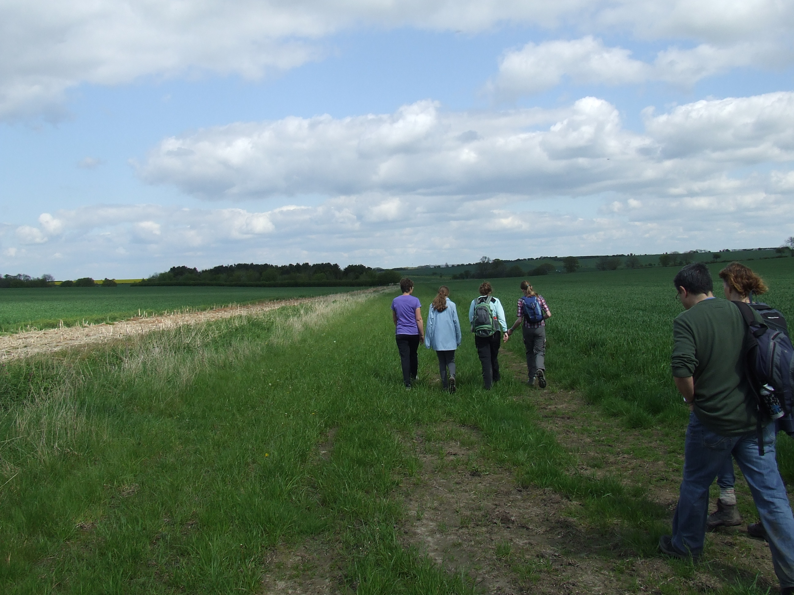
conducted on Saturdays the 12th and 19th Days of May 2012, by parochial officers, church members and friends.
The boundary lines have fallen for me in pleasant places; surely I have a delightful inheritance. Psalm 16:6
click picture to enlarge
click picture to enlarge
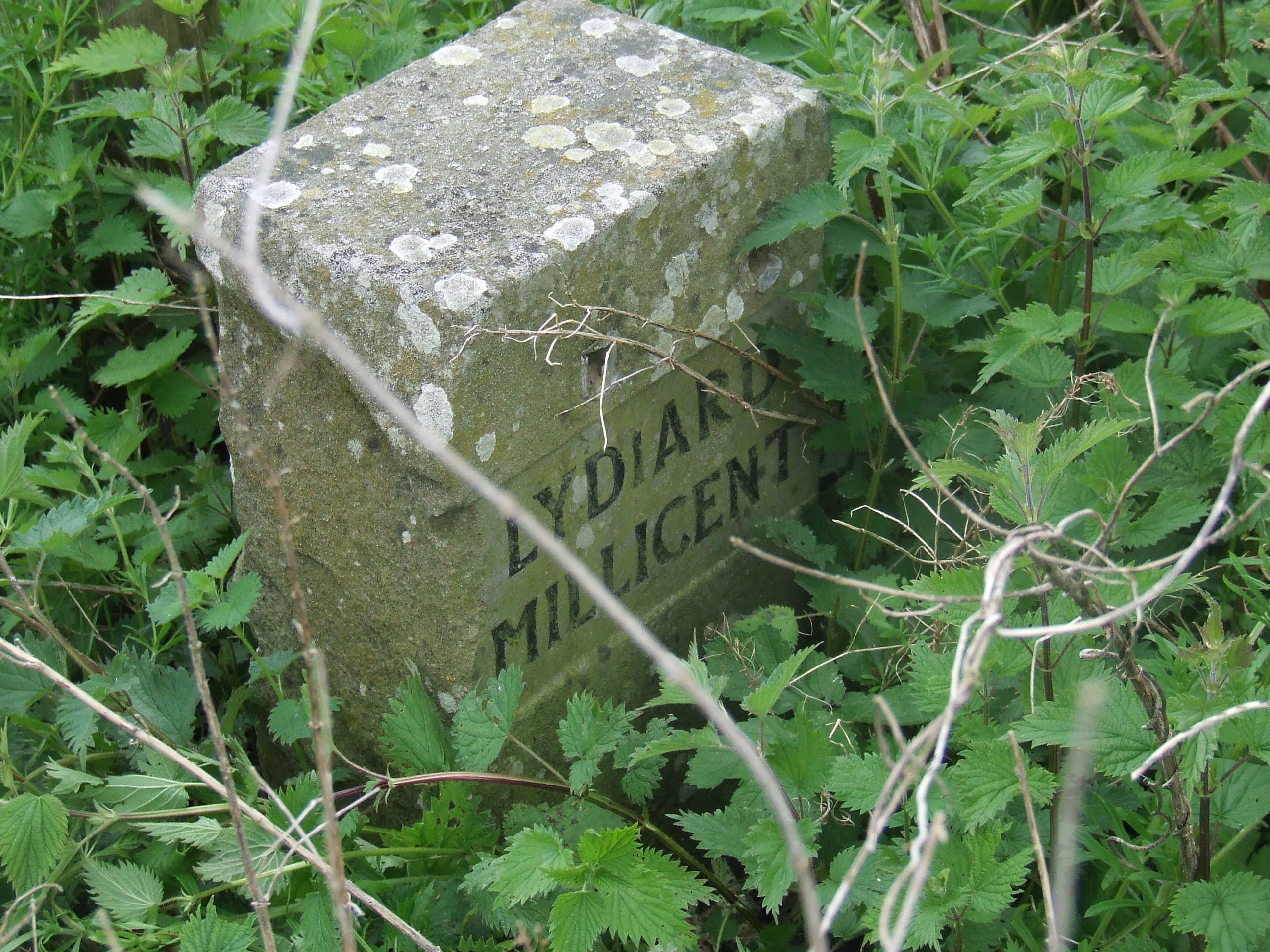
the pastoral responsibility of All Saints Lydiard Millicent,
our parish neighbours being the Purton Evangelical Group of St Mary�s Purton and Purton Methodist Church
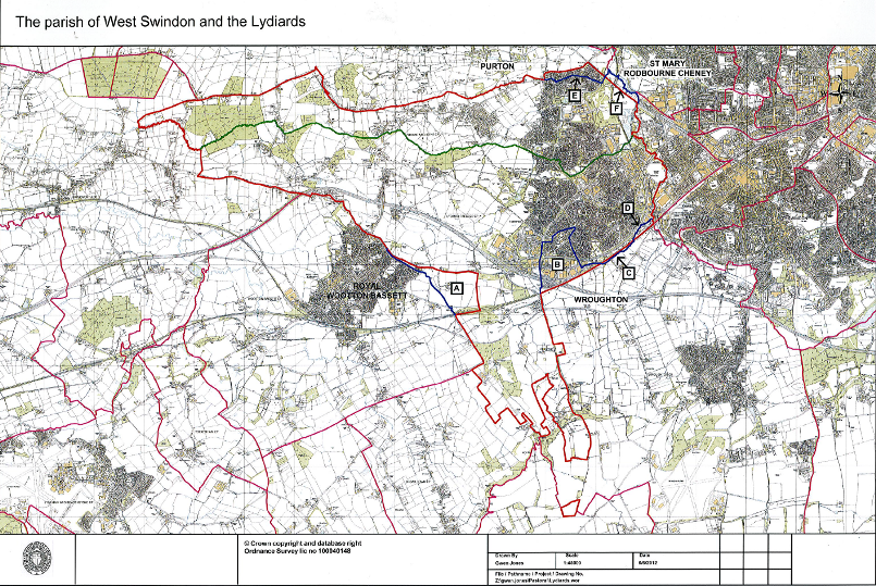
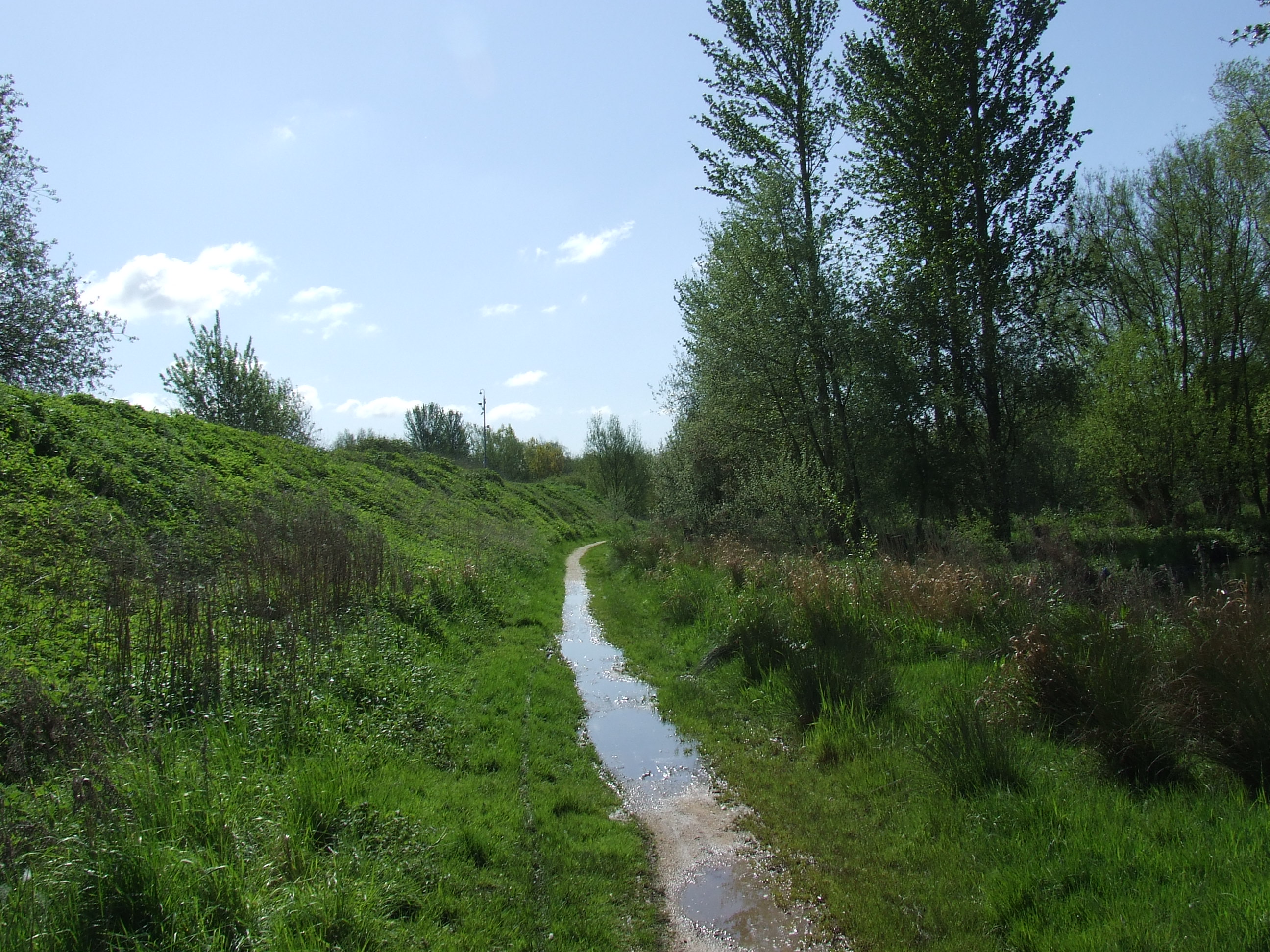
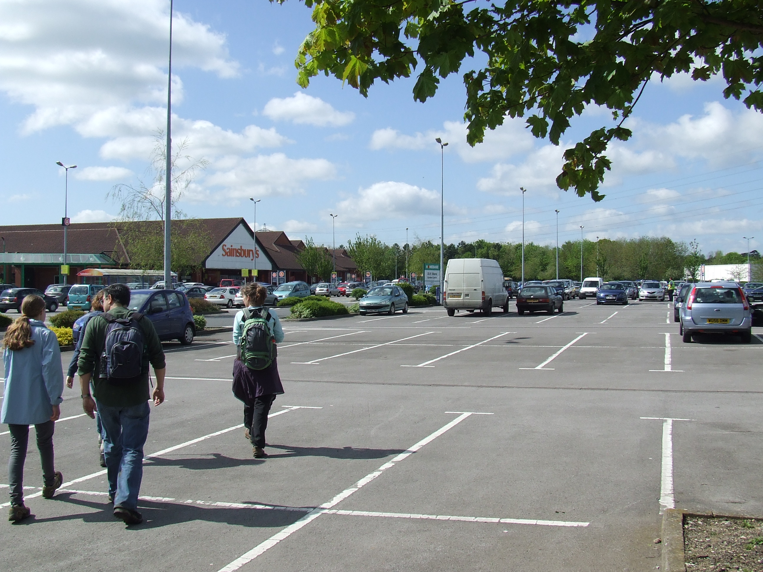
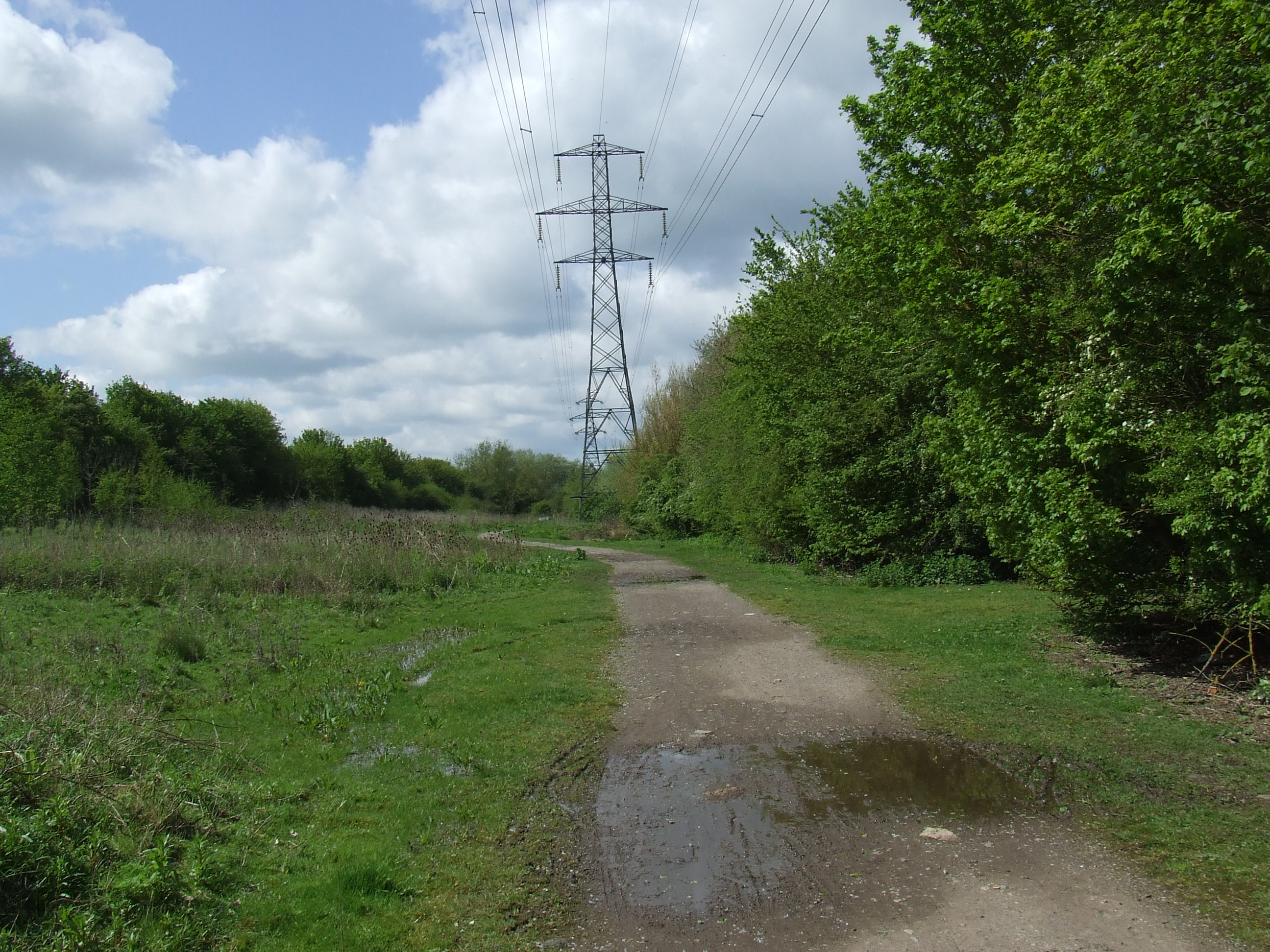
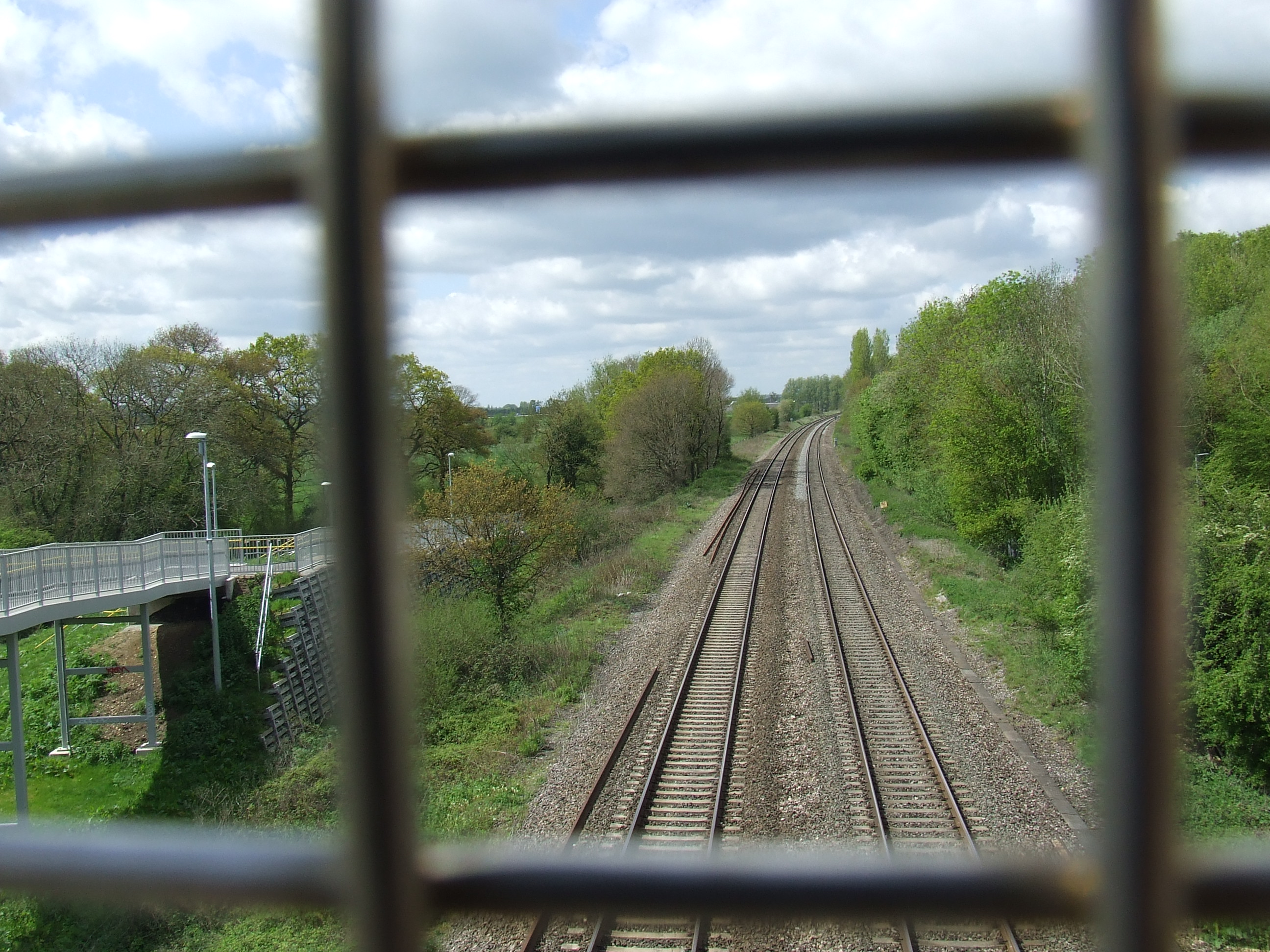
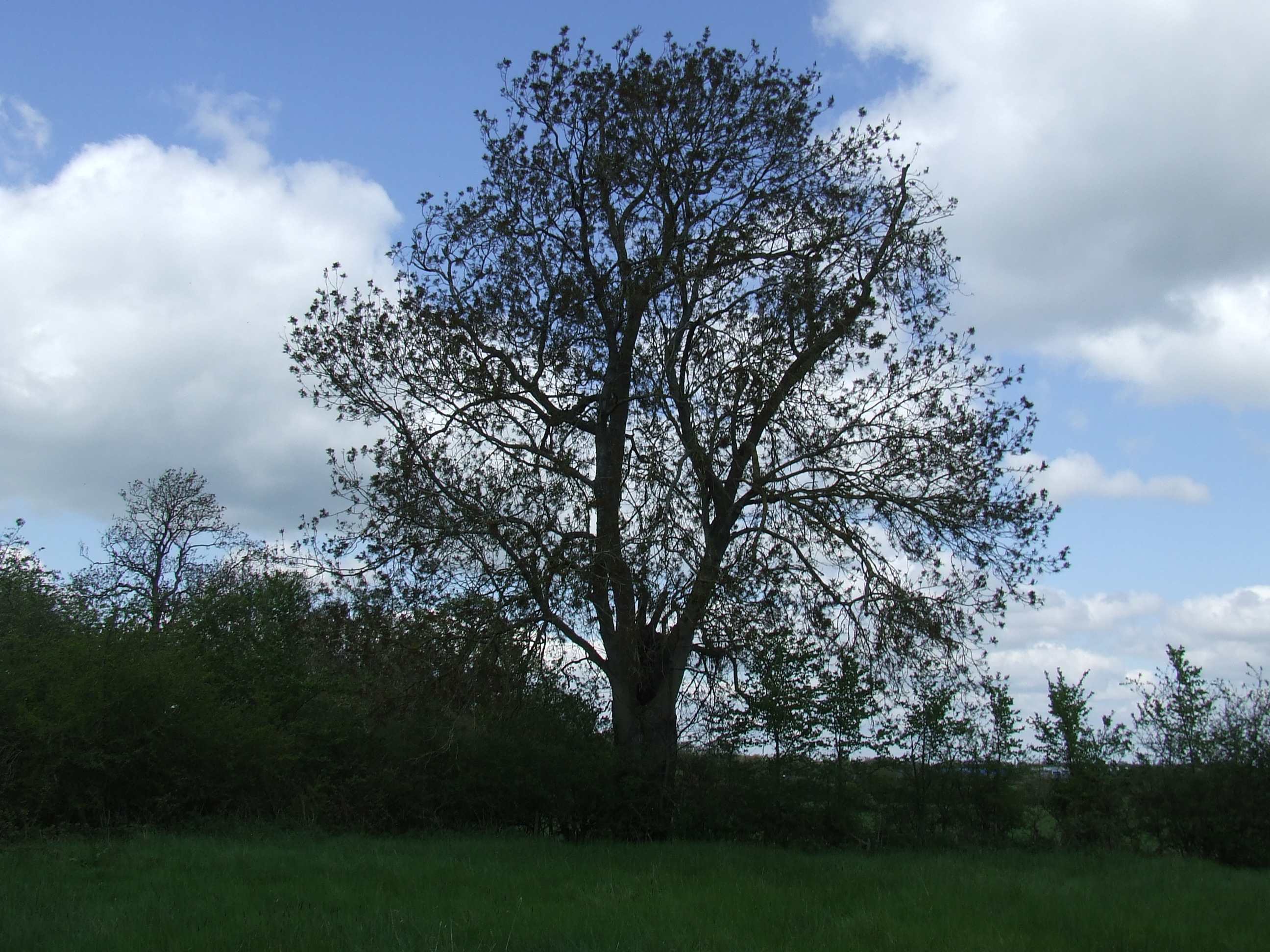
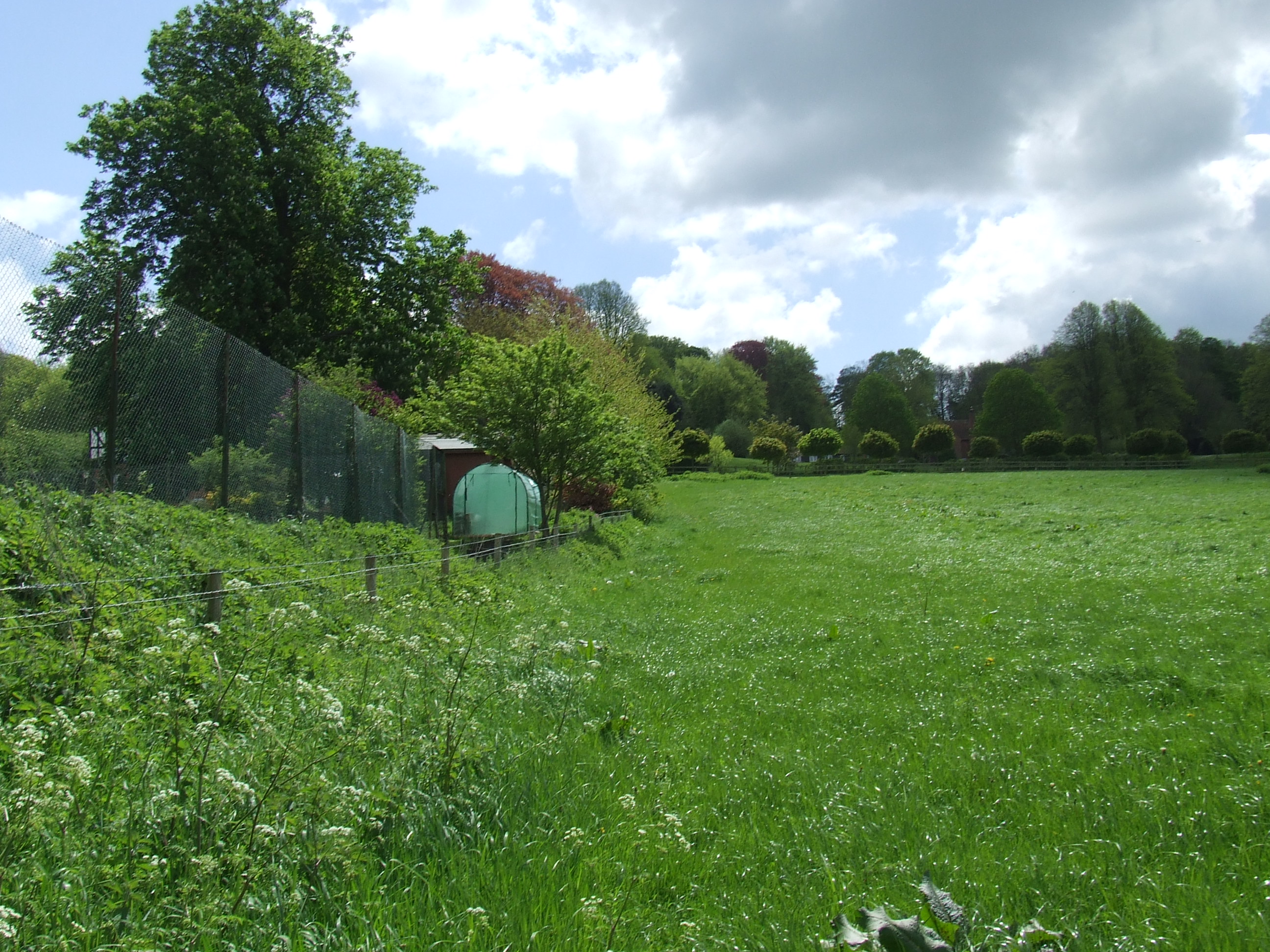
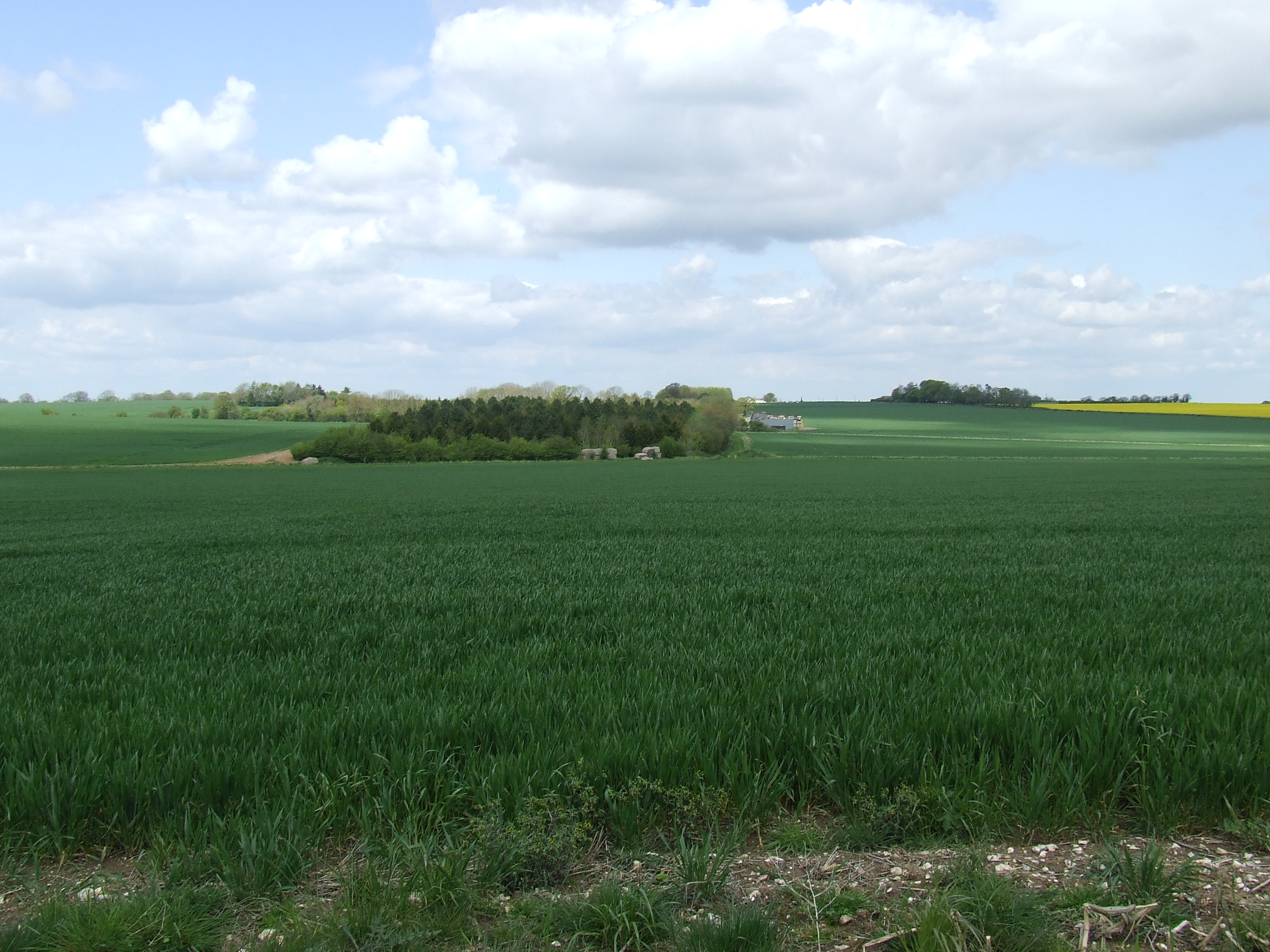
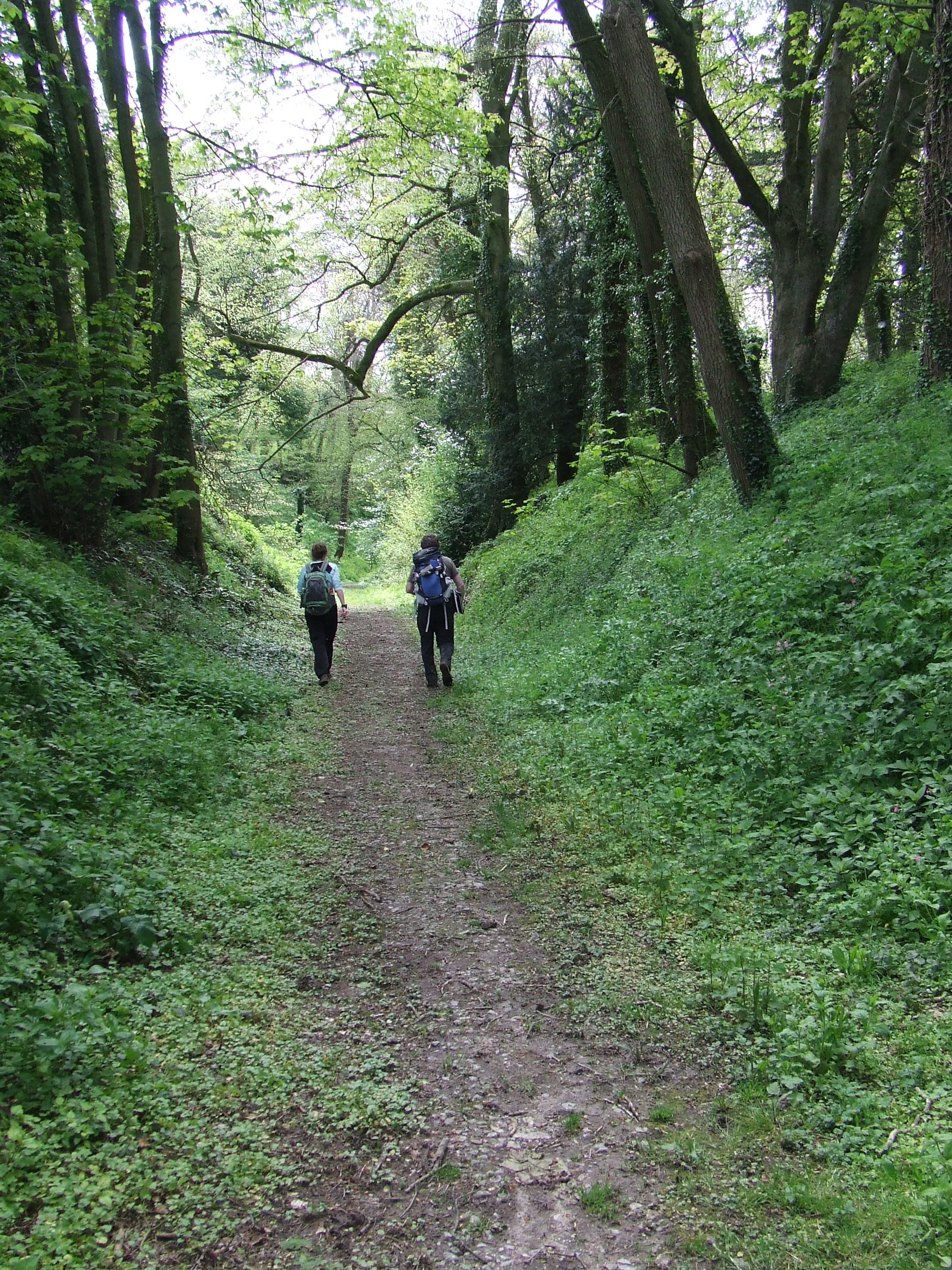
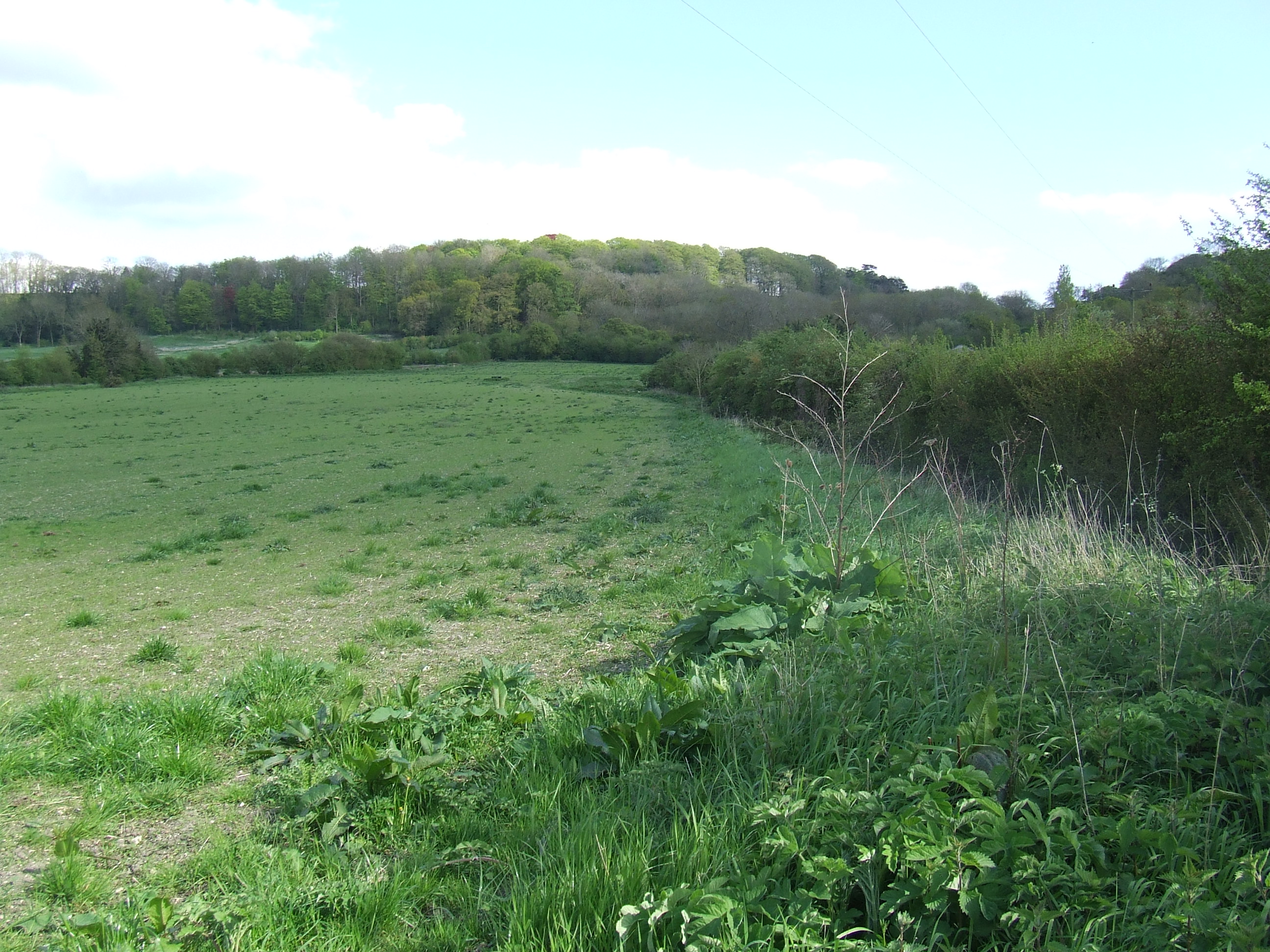
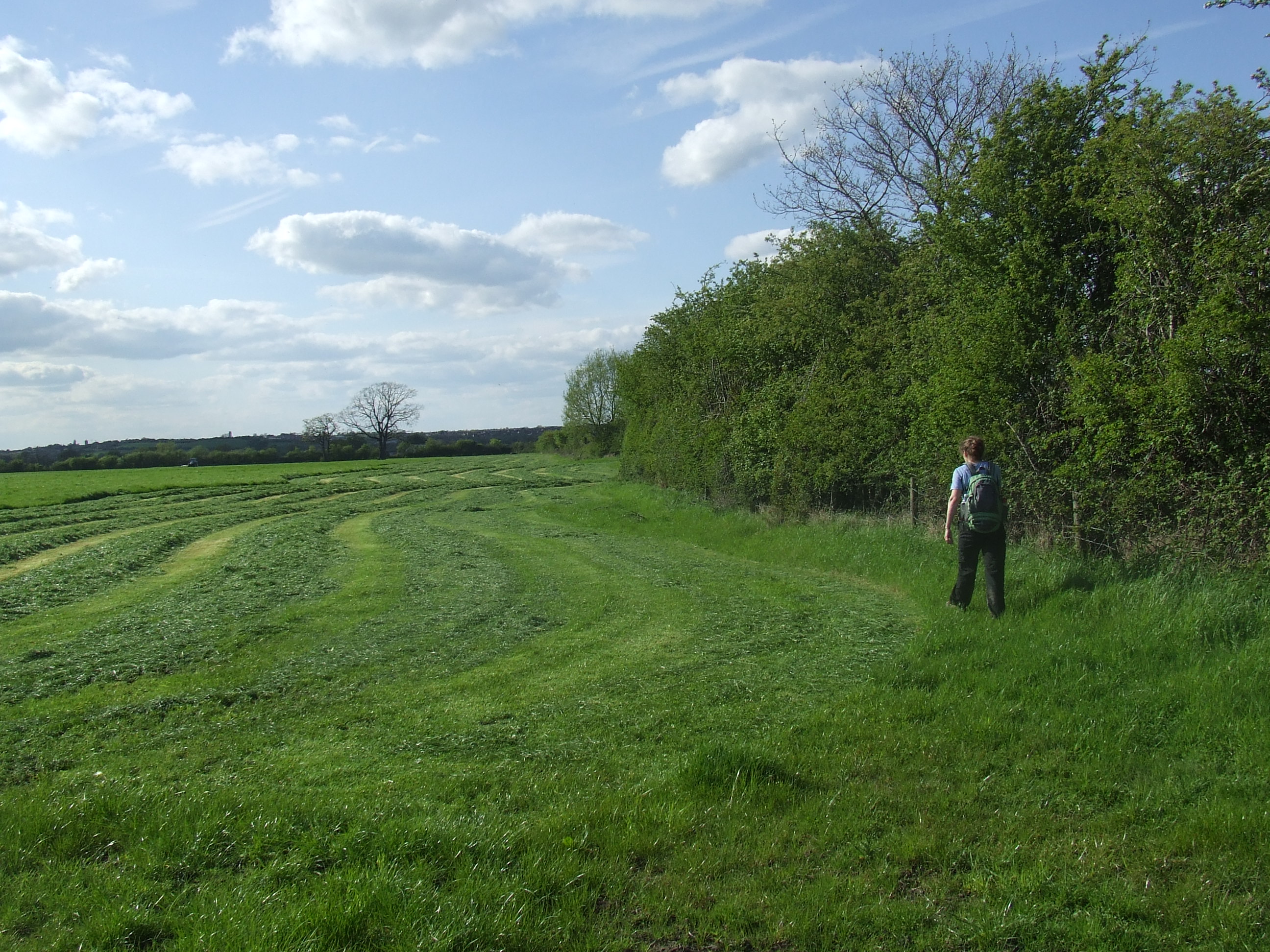
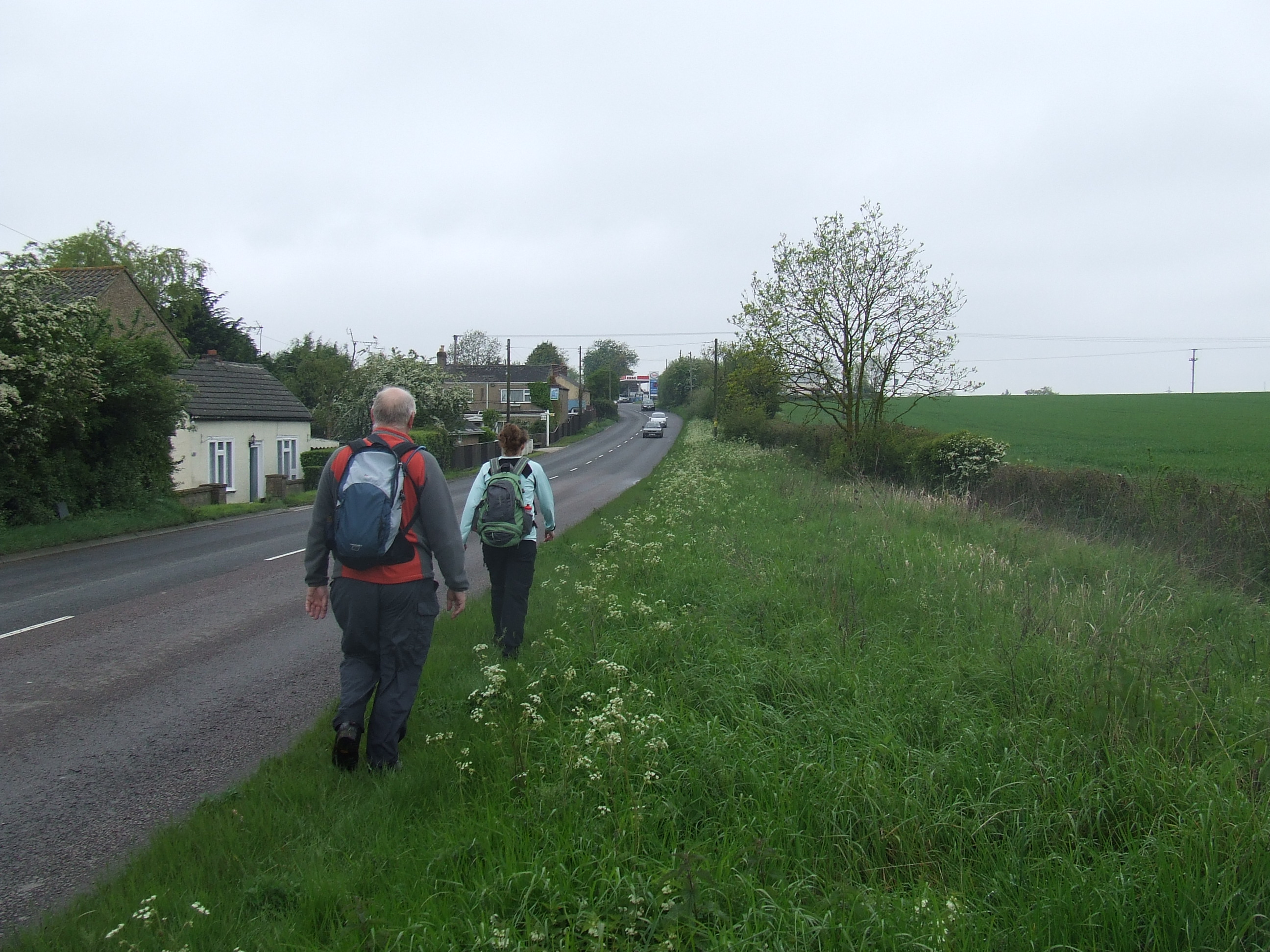
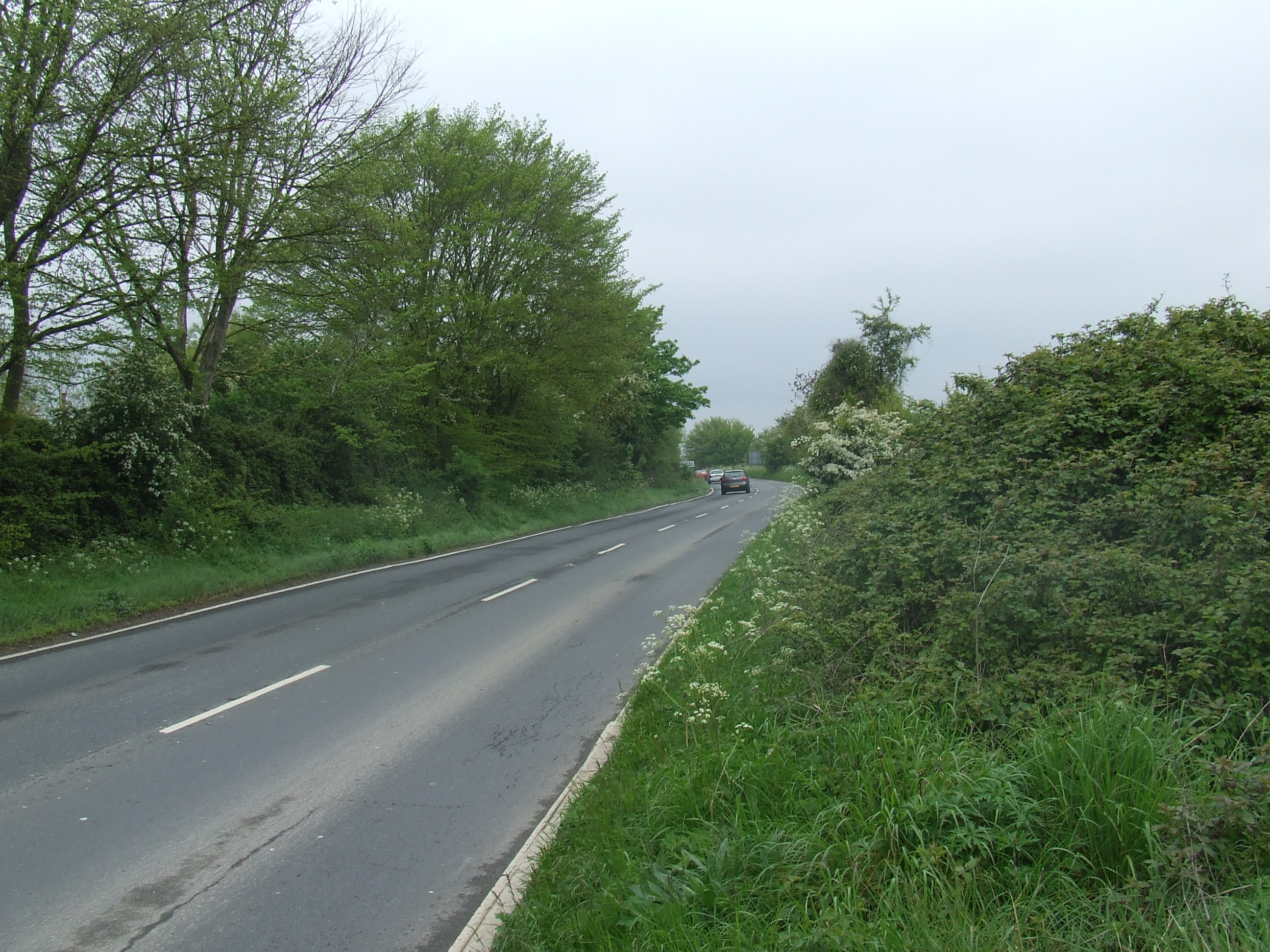
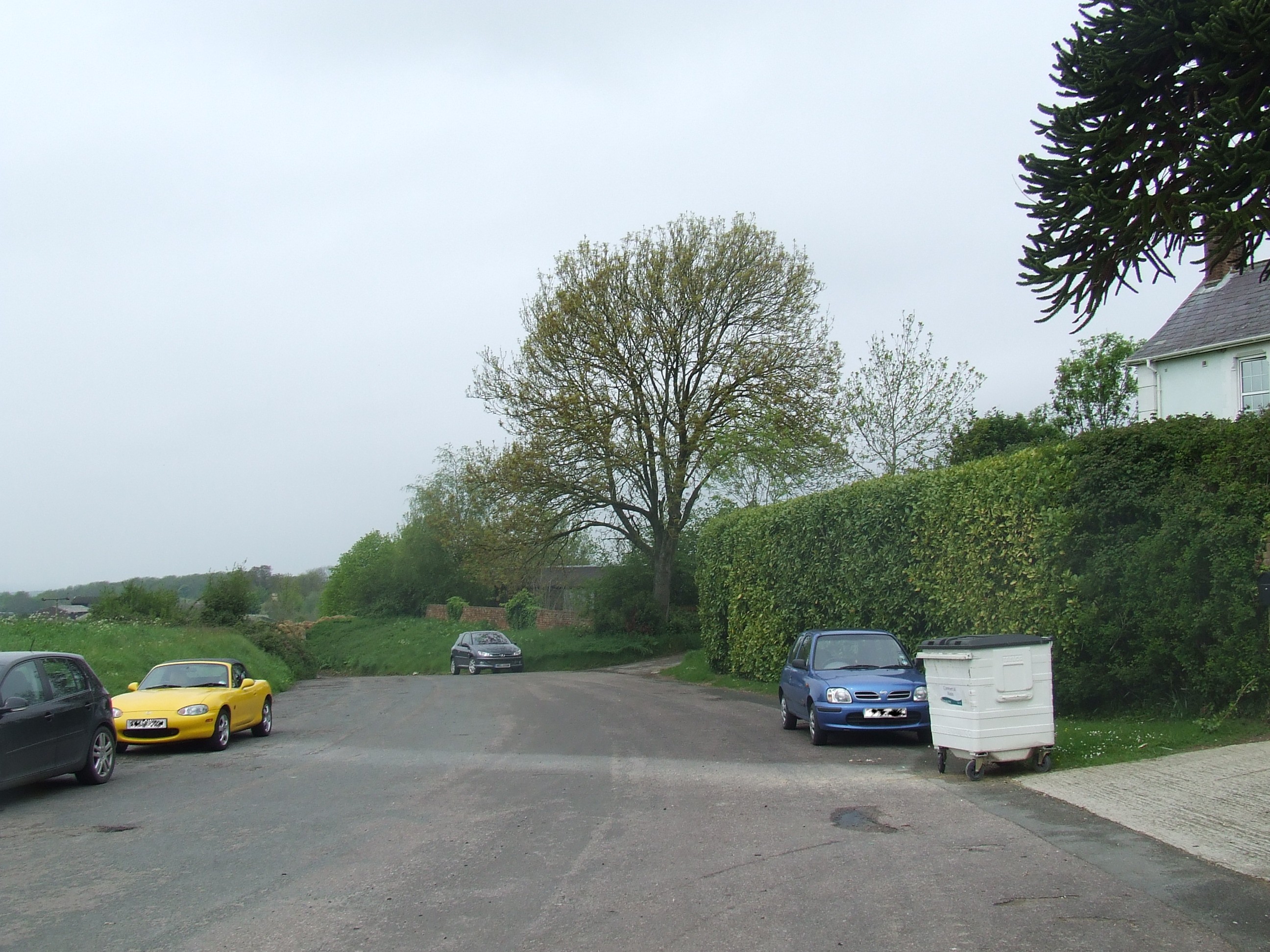
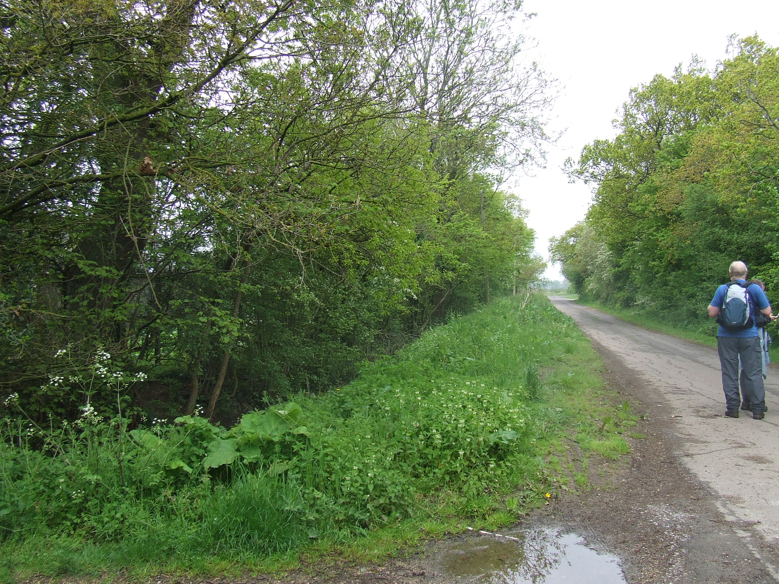
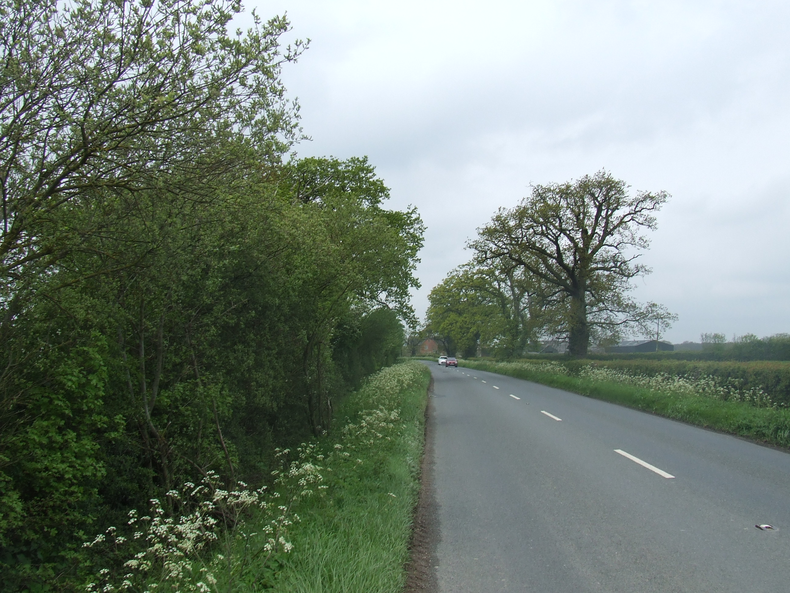
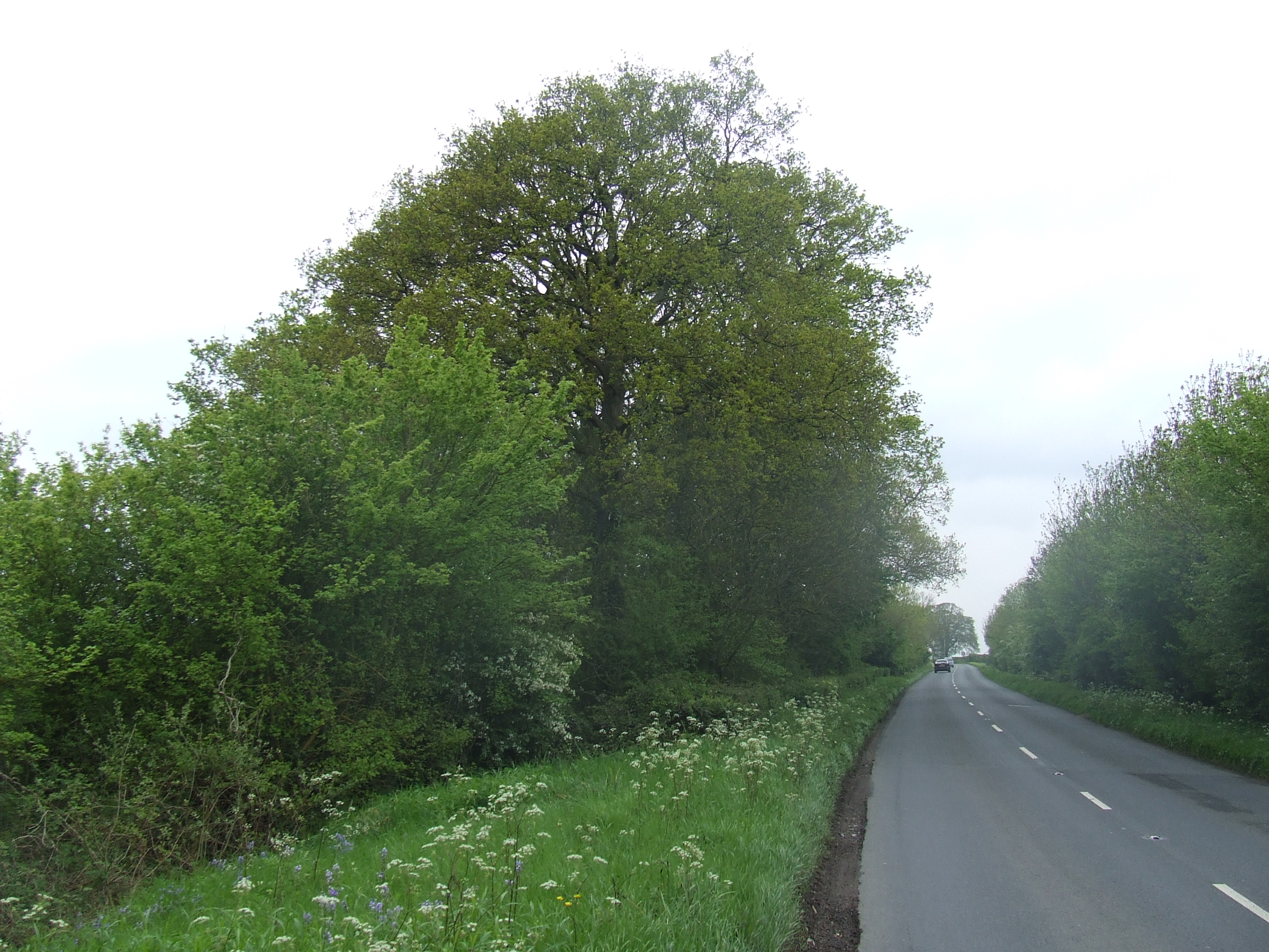
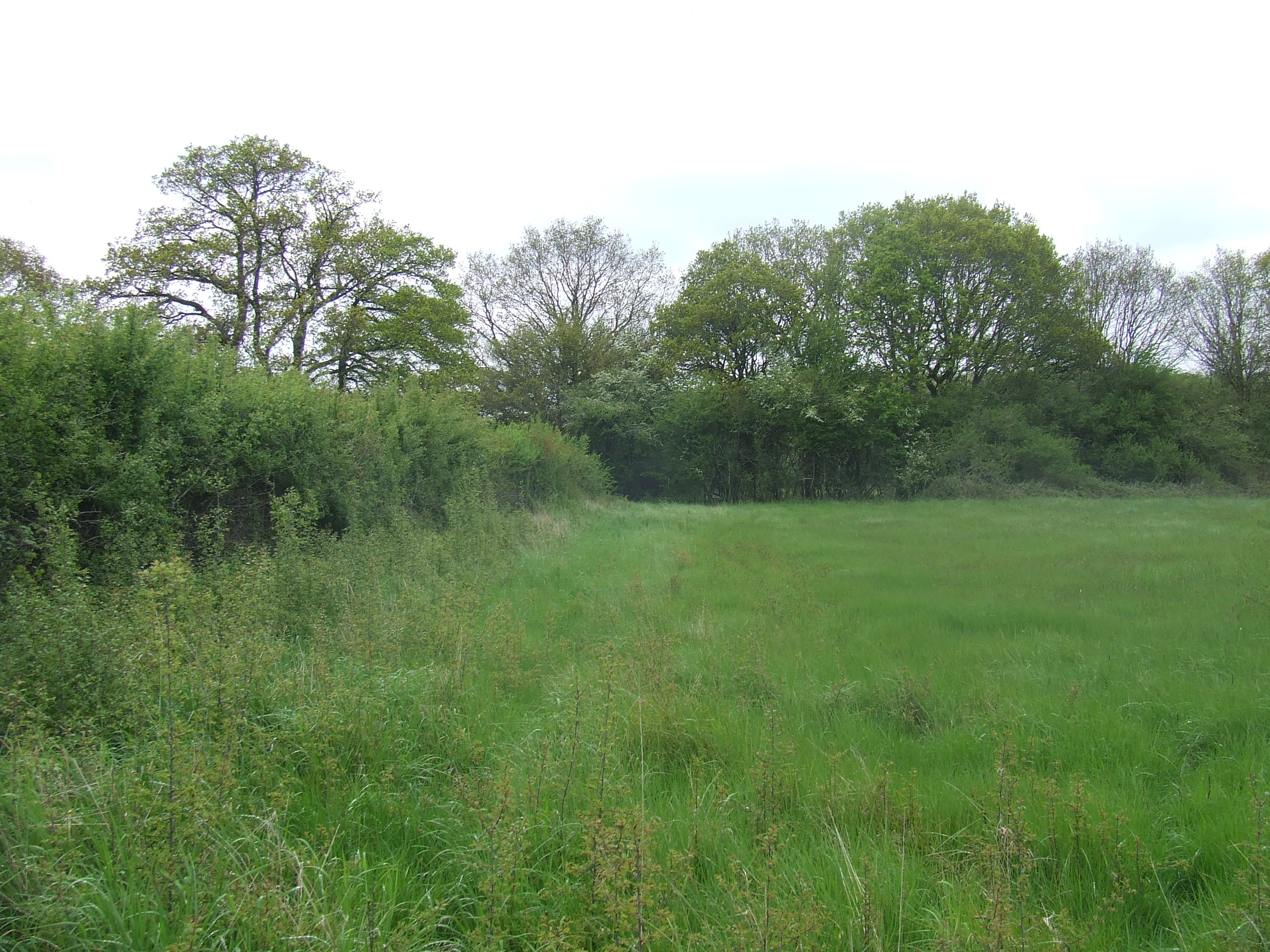
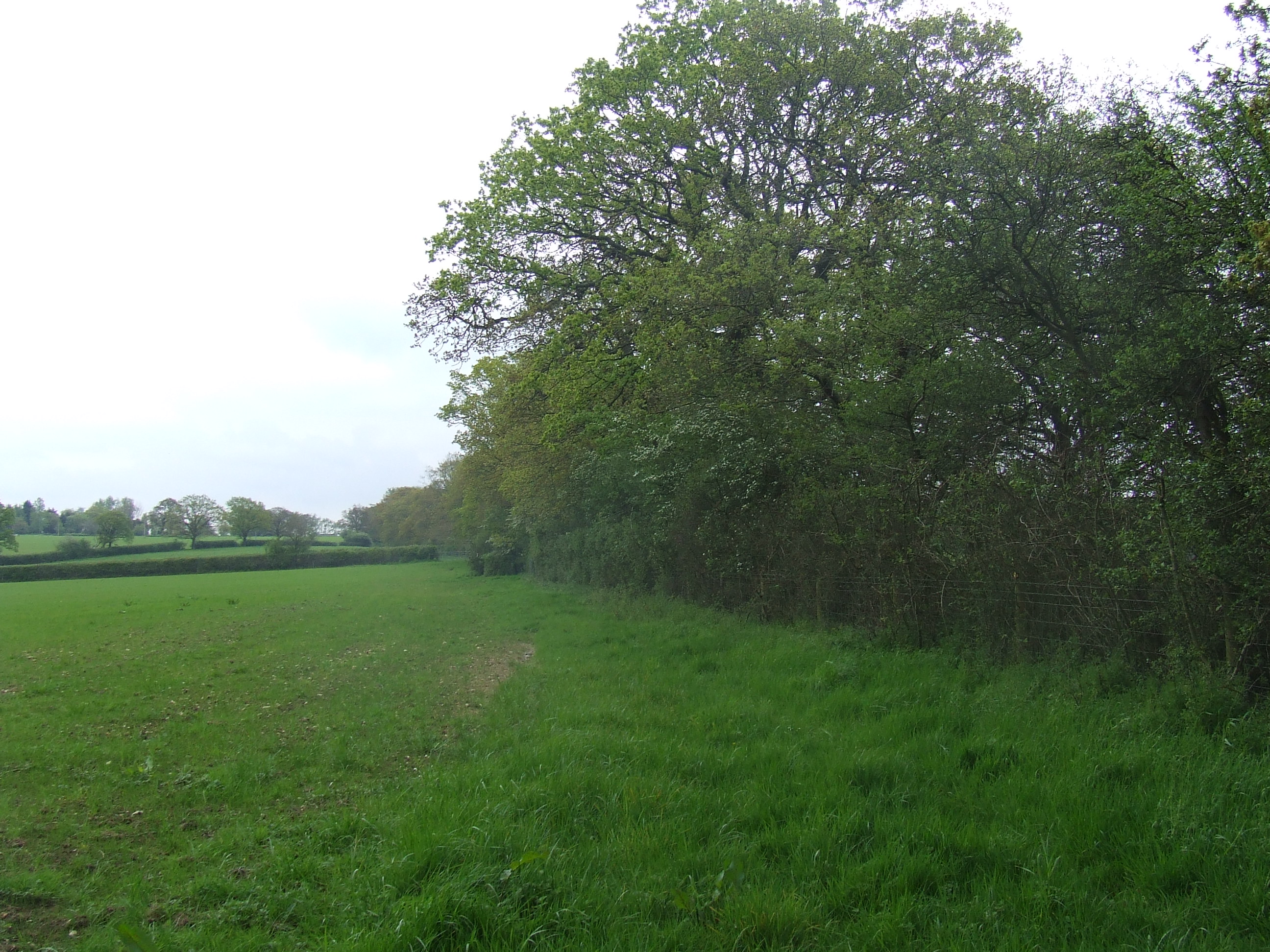
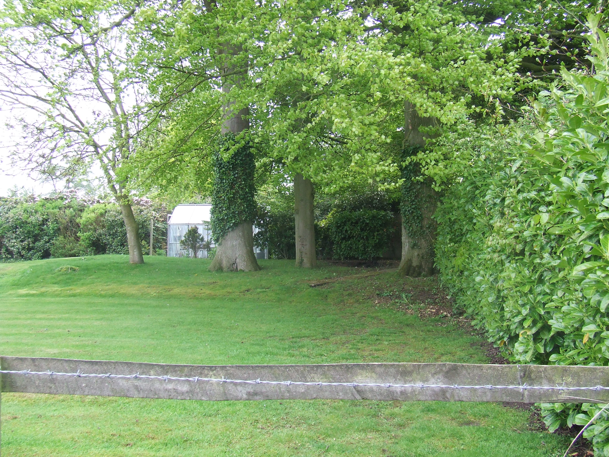
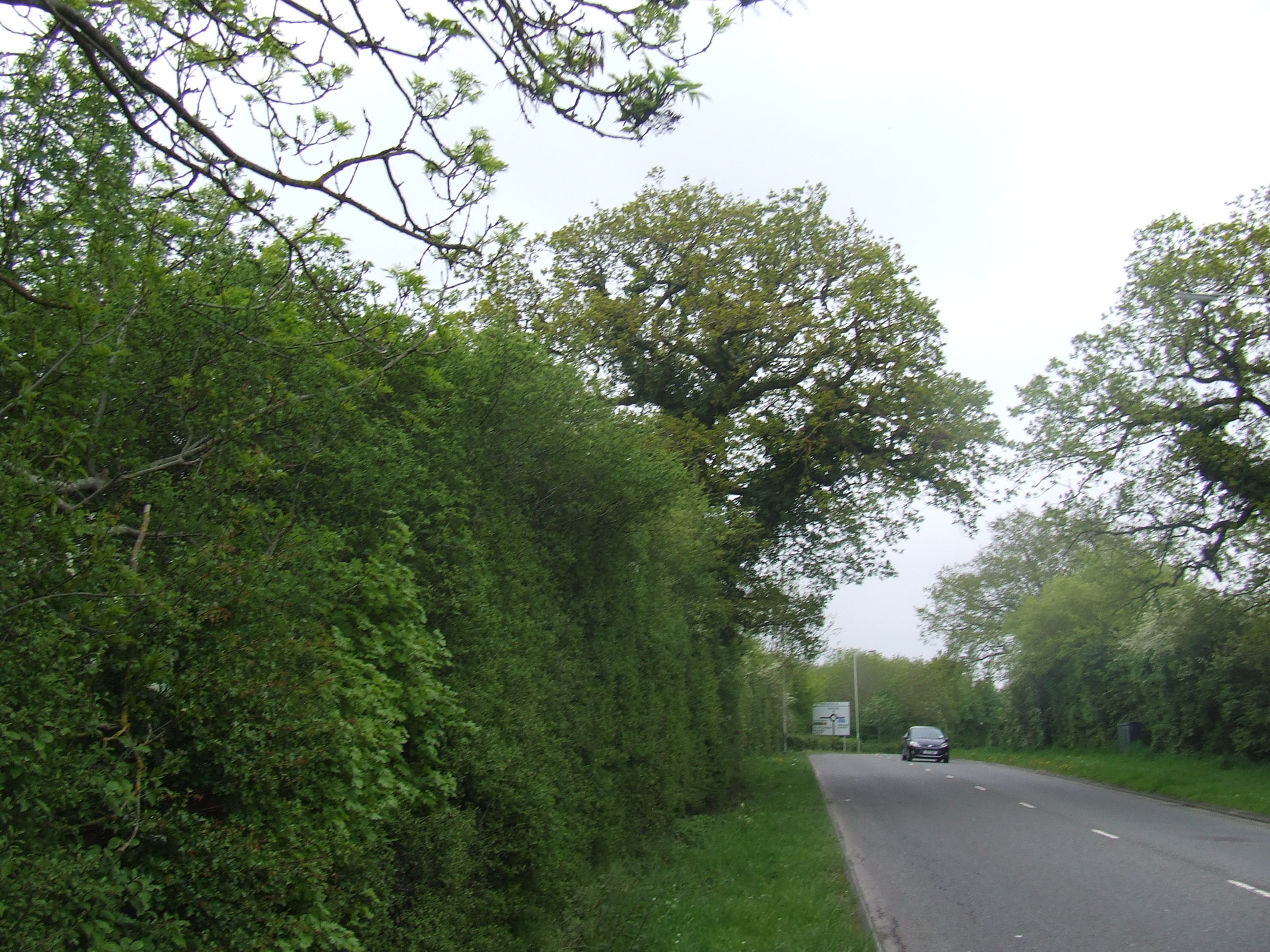
The perambulation started at 9 am at the Northernmost extent of our Parish, [SU118870] on the old Moredon Bridge (there being a newer road bridge) over the Swindon to Gloucester Railway line. The boundary line comes along the footpath on the old line of the road from the direction of Peatmoor. There is nothing other than the railway, to mark the boundary at this point. The boundary line goes from here along the railway to the south east.
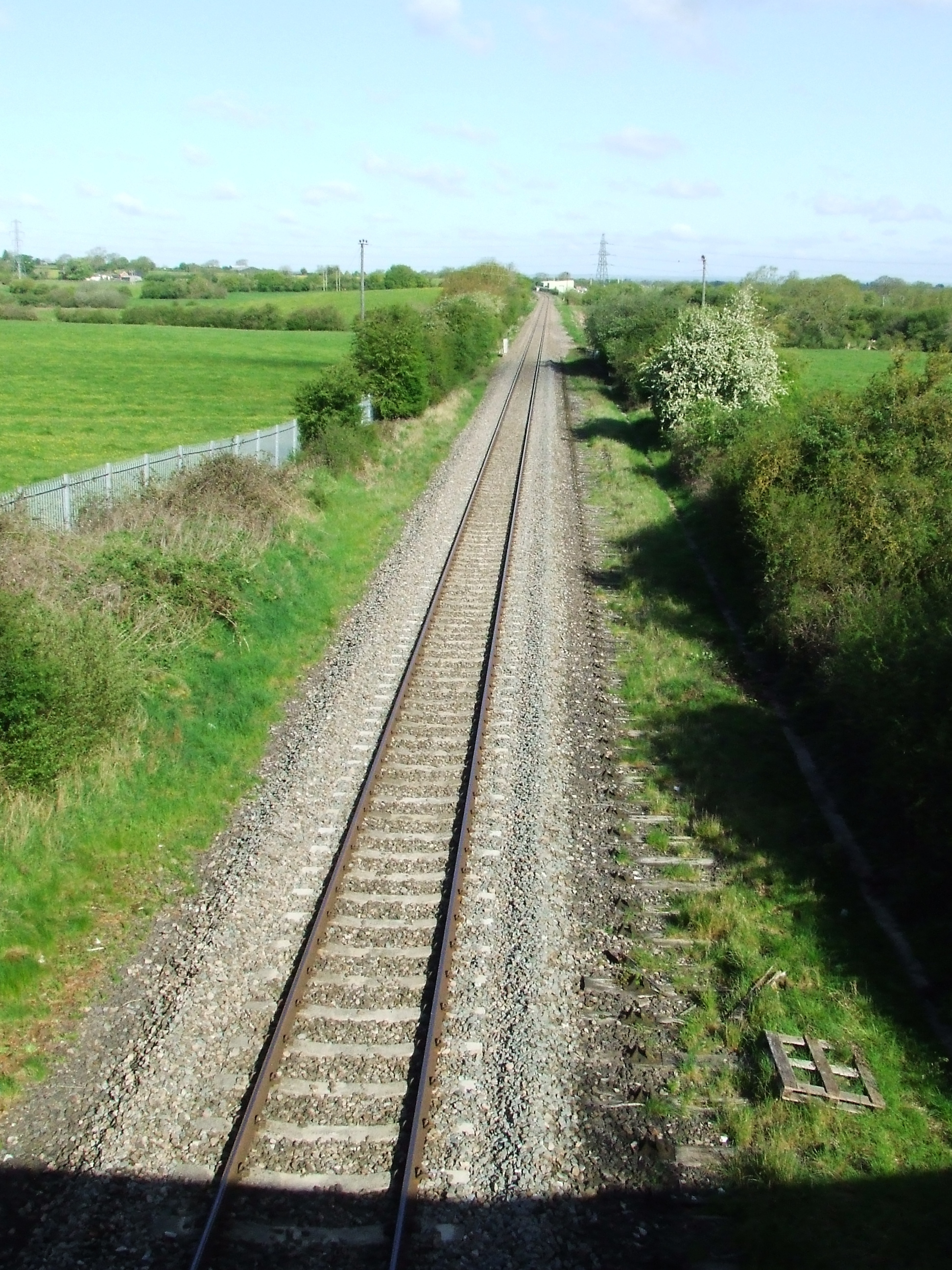
In 1228 the boundary of Bradon Forest was documented at Spersolt (Sparcells) though at that time it was probably at the River Ray Elder Bridge (Elborough Bridge) 300m to the north east of here. The railway opened here in 1841 and our boundary was moved to the railway line in 1990.
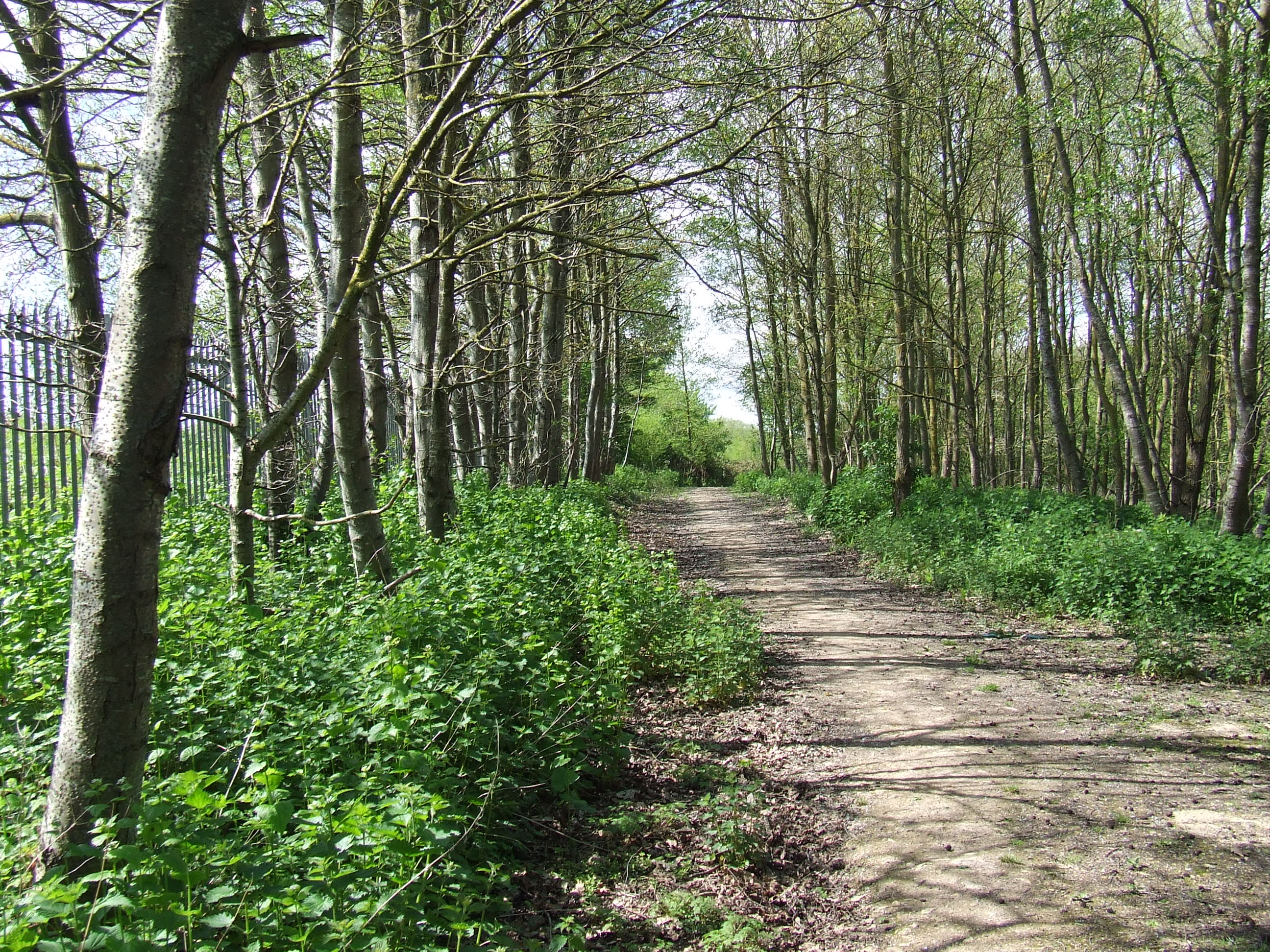
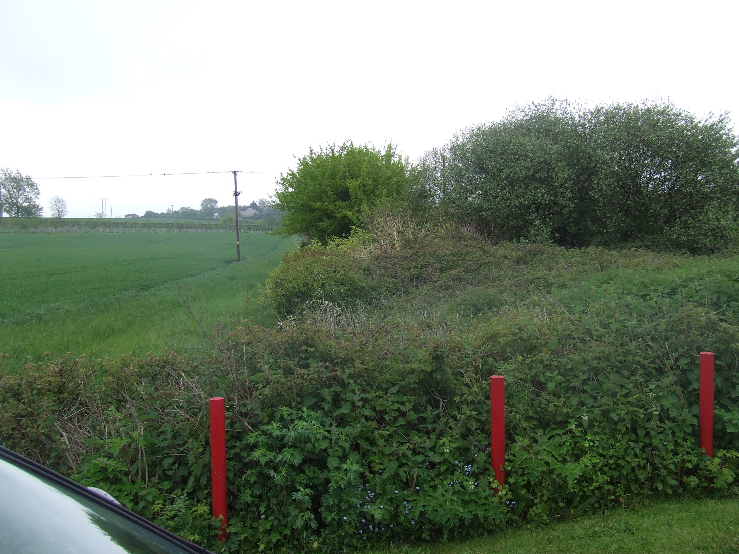
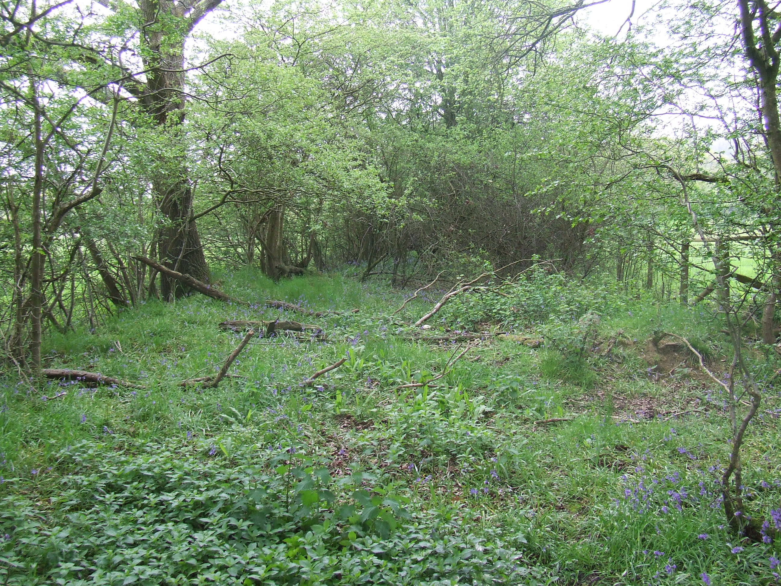
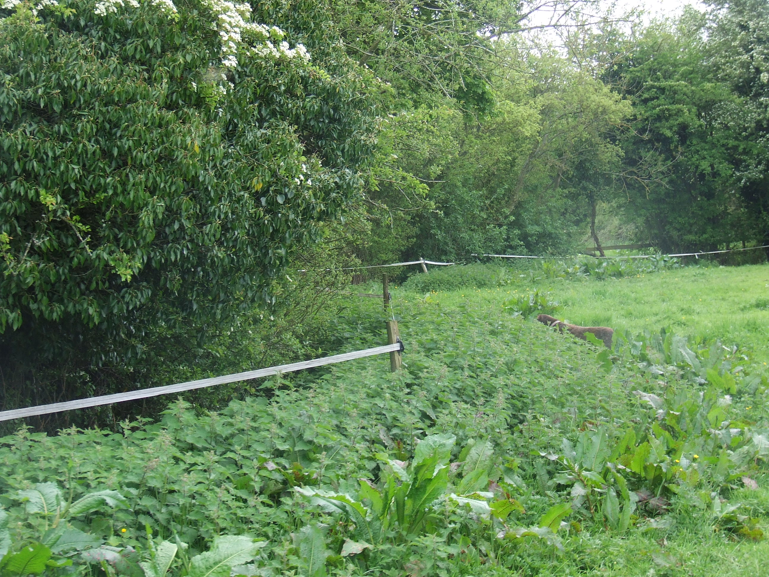
From here we walked south east through the hedge and undergrowth, cutting or bending only brambles and without breaking any branches, just north of the railway line. There is no public access at this point. We headed towards the new road just a few metres away, crossing the road at the end of the Armco barrier.
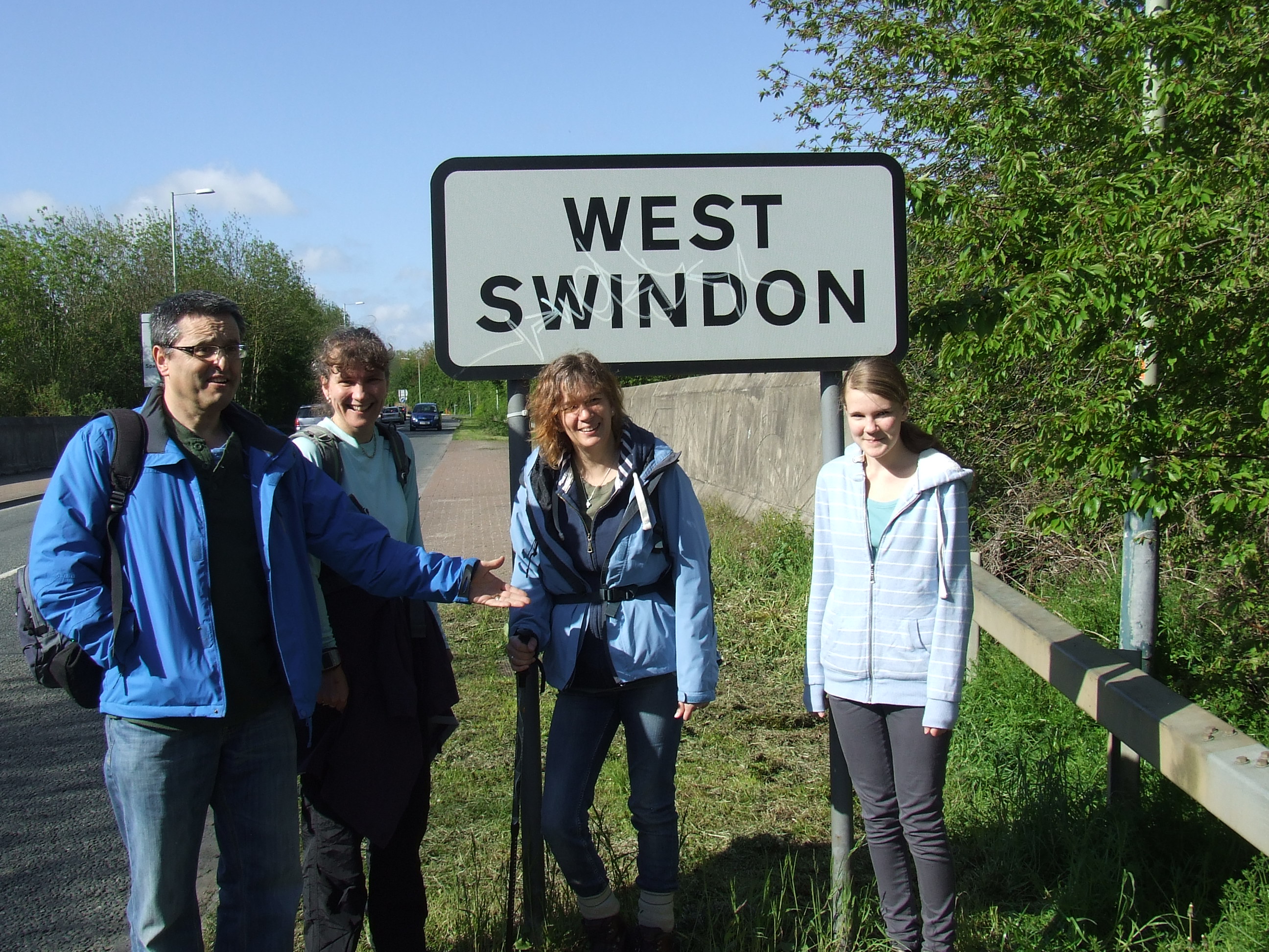
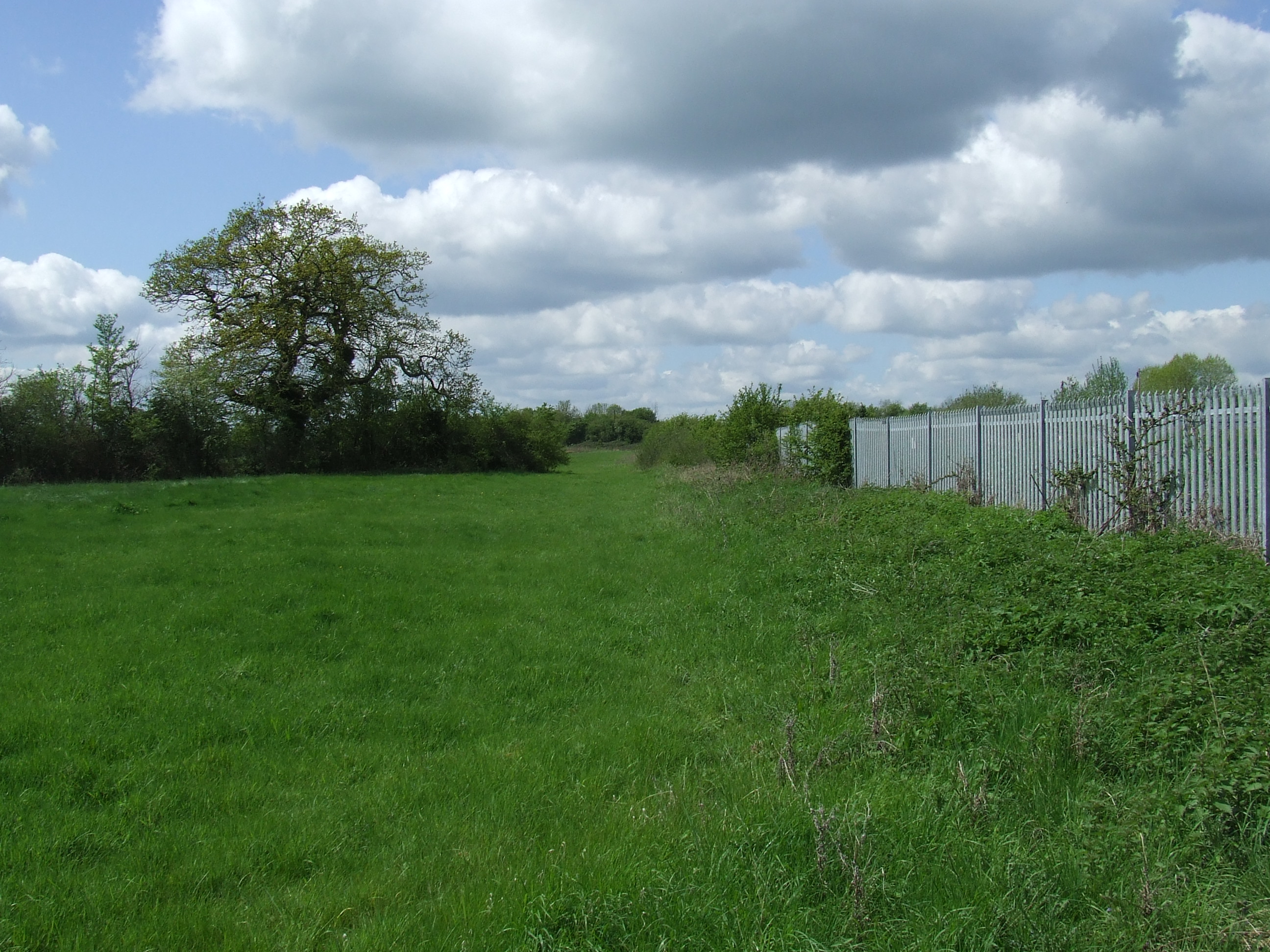
At [SU118869] just to the east of the new road bridge over the Swindon to Gloucester Railway line, there are road signs facing north east on both sides of the road stating �West Swindon� that mark the boundary here. The boundary line goes from here along the railway to the south east, along the south side along the fenced boundaries of the residential properties in Sparcells.
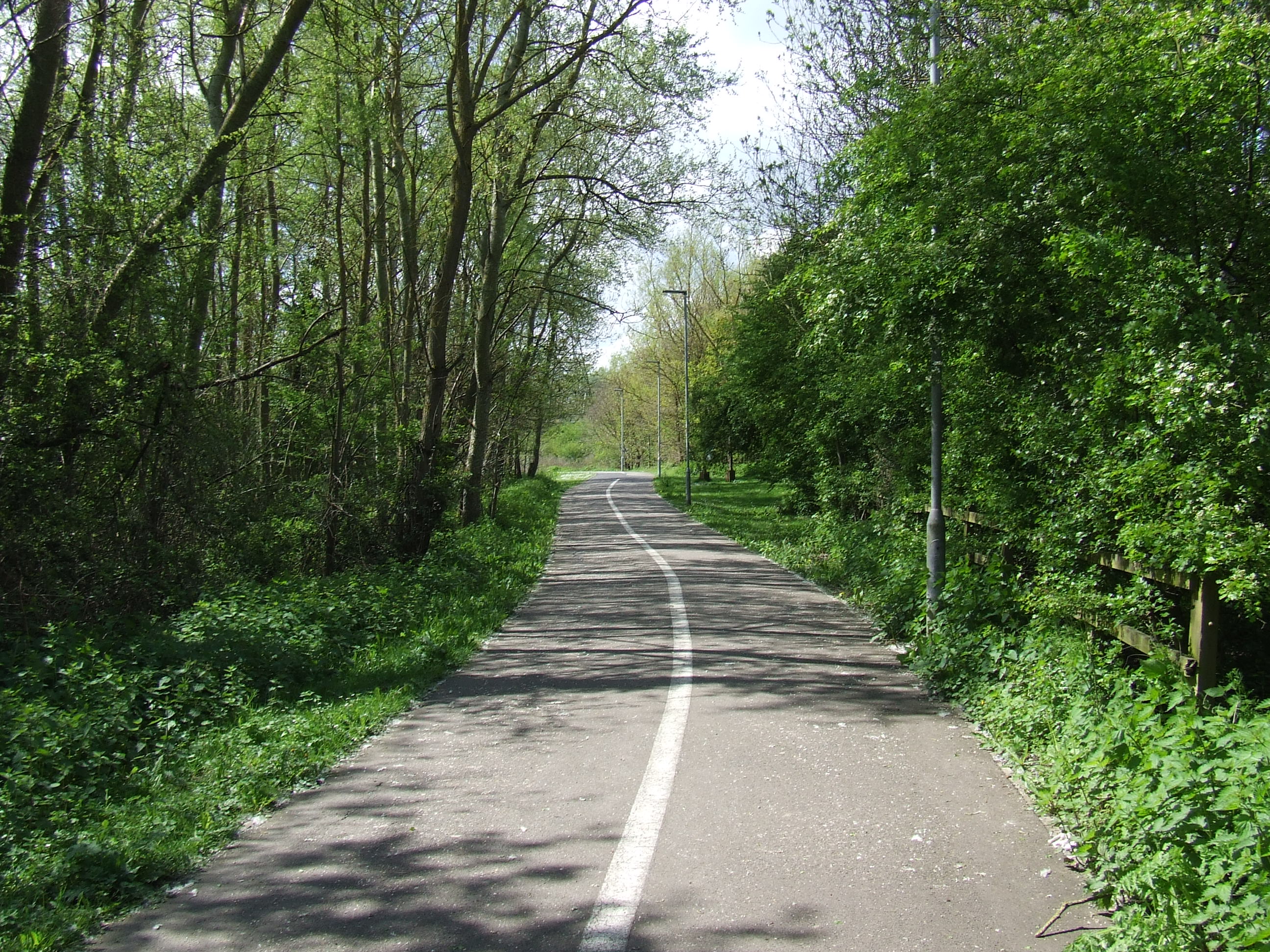
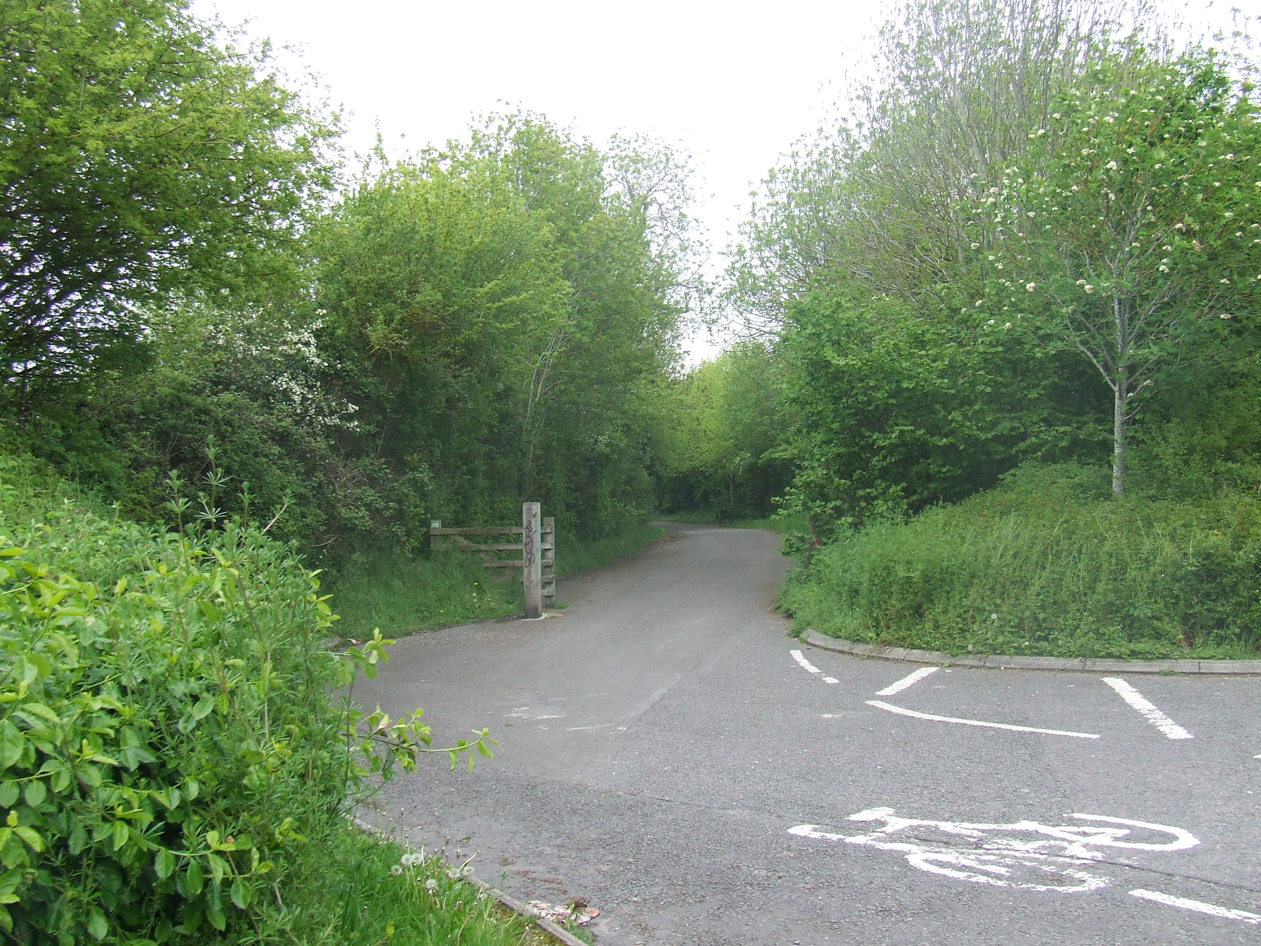
From here we climbed the road barrier and walked on a public footpath which was fairly overgrown and then quite sullied with litter, towards the south east along the boundary fence of the railway.
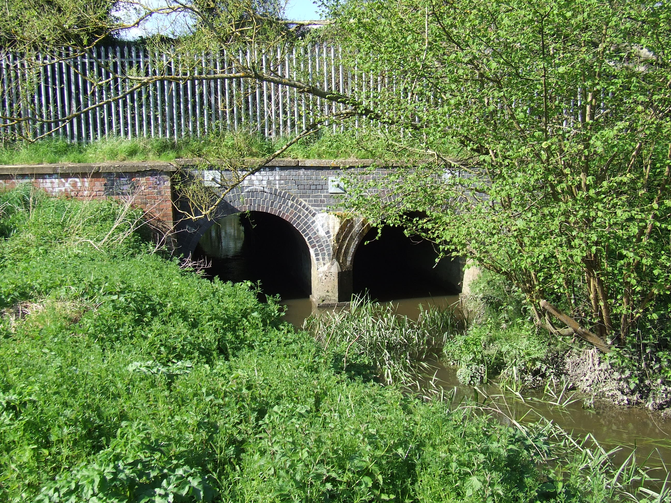
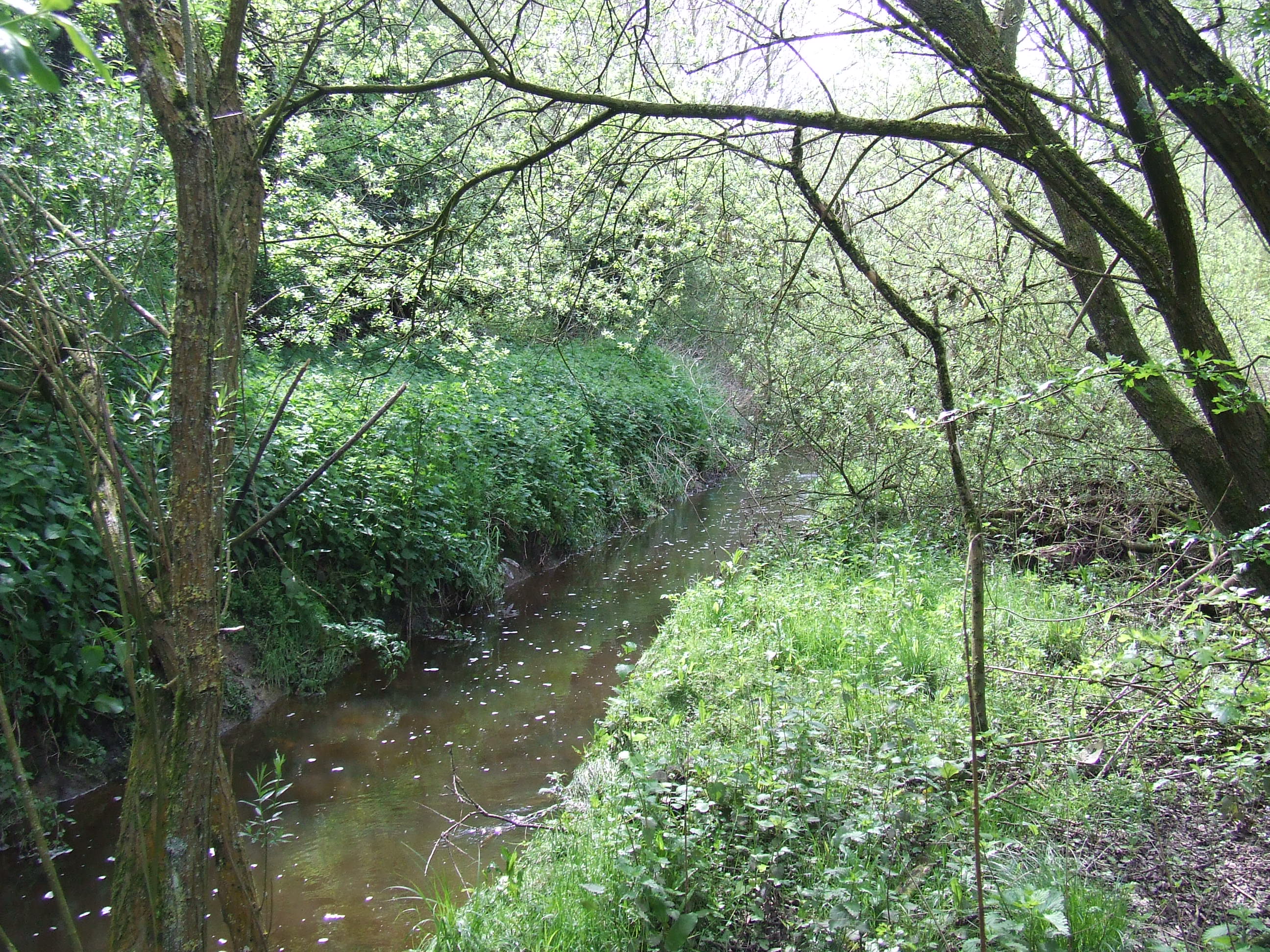
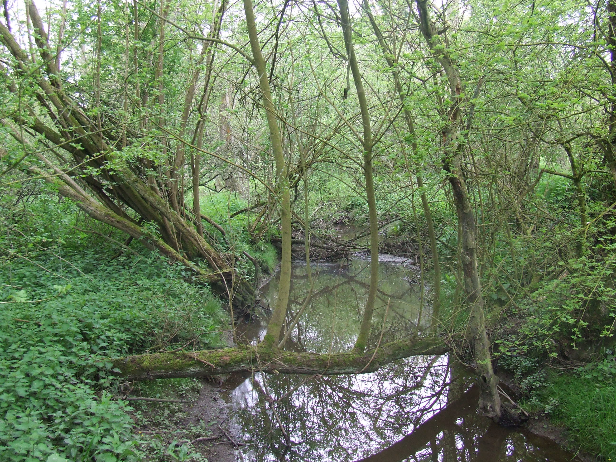
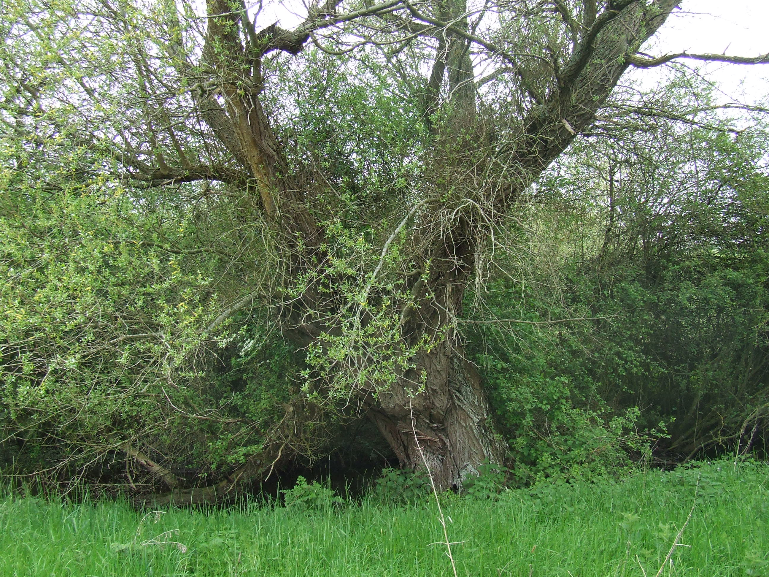
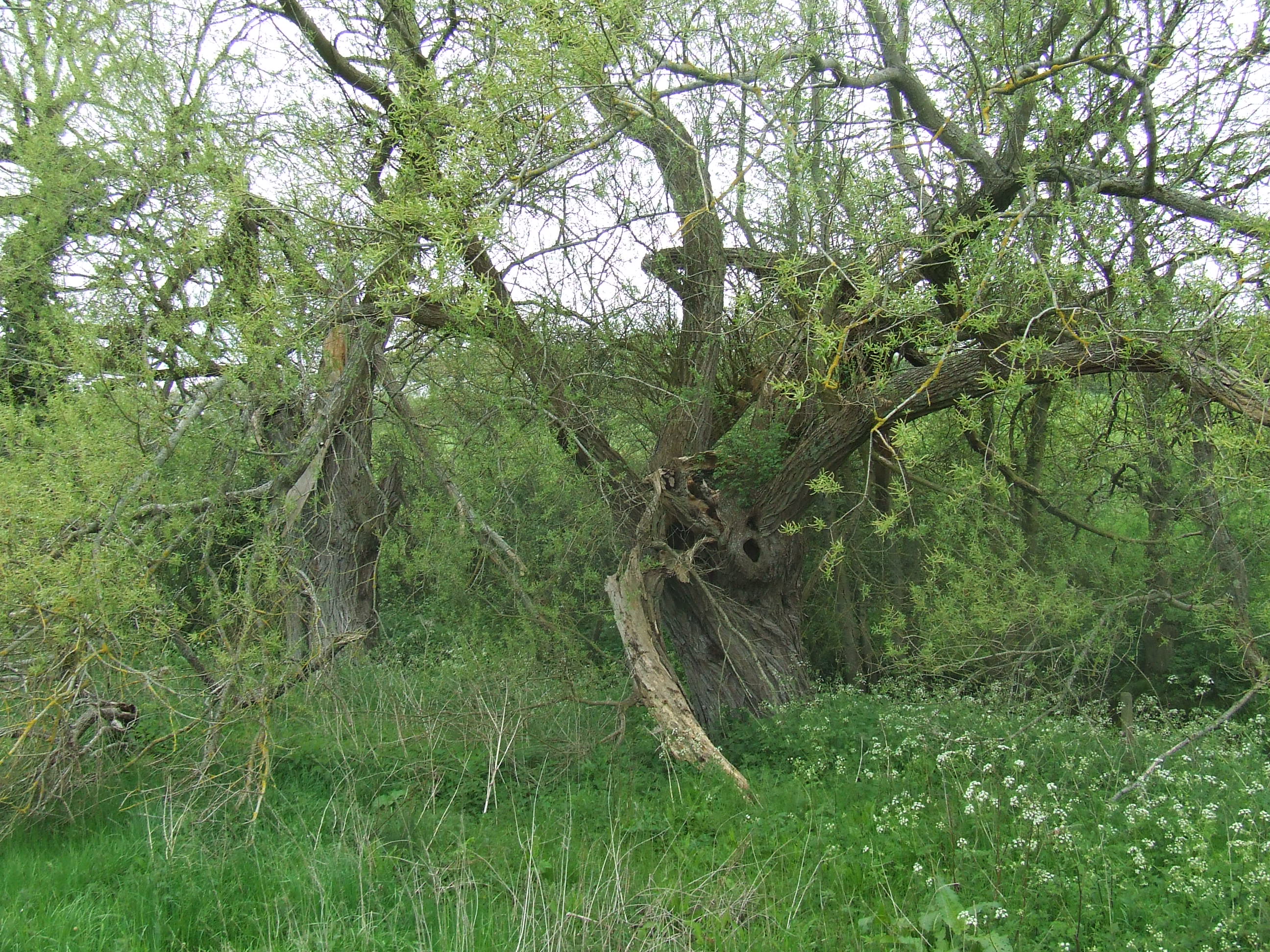
At [SU121867] a tributary of the River Ray, flowing east and then north from Peatmoor lagoon runs in culvert under the railway at this point.
In 1228 this river formed the boundary of Bradon Forest, upstream through Lydiard Tregoze (the present Lydiard Park) and towards Midgehall (more or less the M4 Junction 16).
It was quite a jump across, so to save using a portable bridge, we clambered up the parapet, holding onto the fence. There is no safe public access at this point. The river marks the boundary at this point, there is no other indication. It is possible the boundary follows the river upstream in culvert under the railway to the south side. Having crossed the river we headed south west in a tunnel under the railway.

Pastoral responsibility changes here, from All Saints Lydiard Millicent to Holy Trinity Shaw.
Our parish neighbours change here, from the Purton Evangelical Group of St Mary�s Purton and Purton Methodist Church to St Mary�s Rodbourne Cheney.
the pastoral responsibility of Holy Trinity Shaw,
our parish neighbours being St Mary�s Rodbourne Cheney
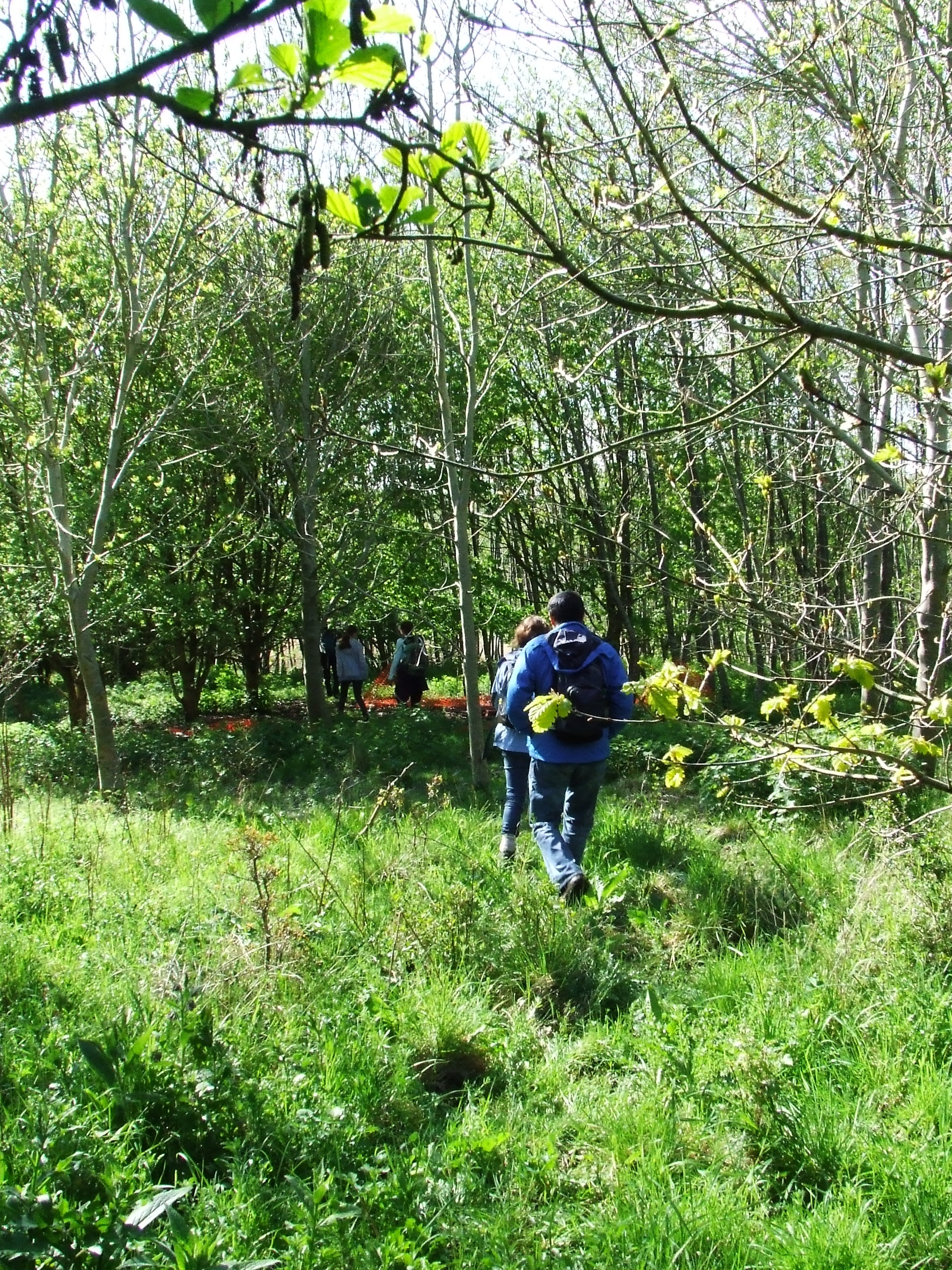
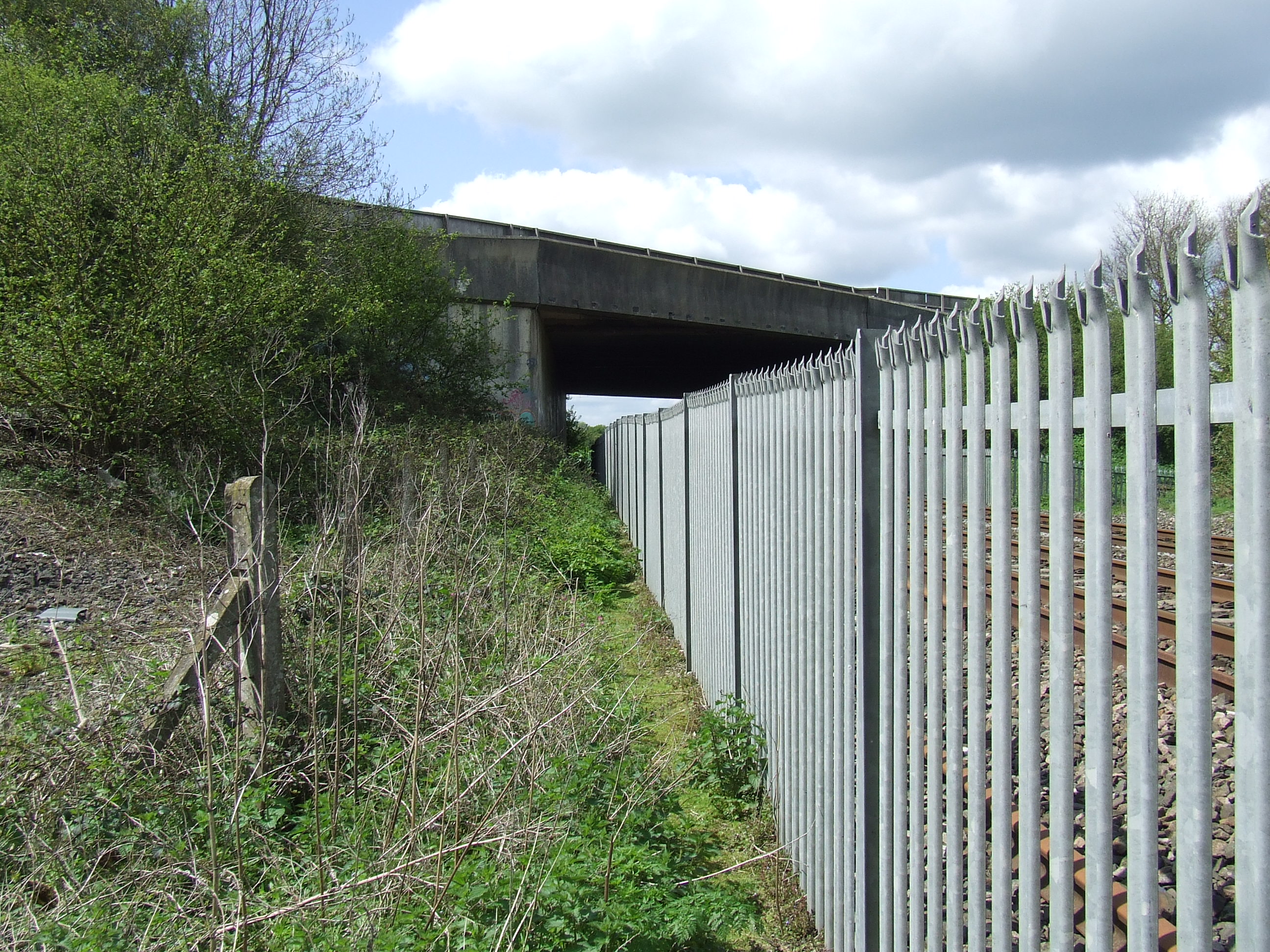
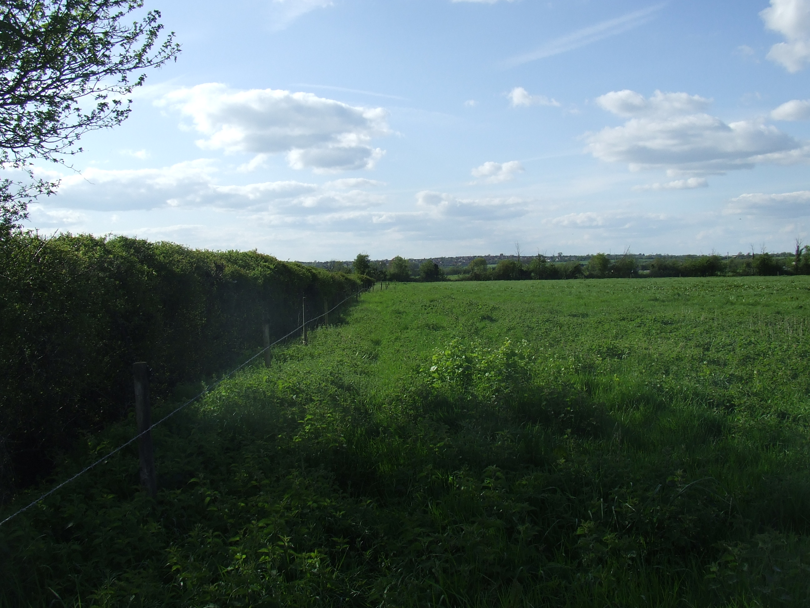
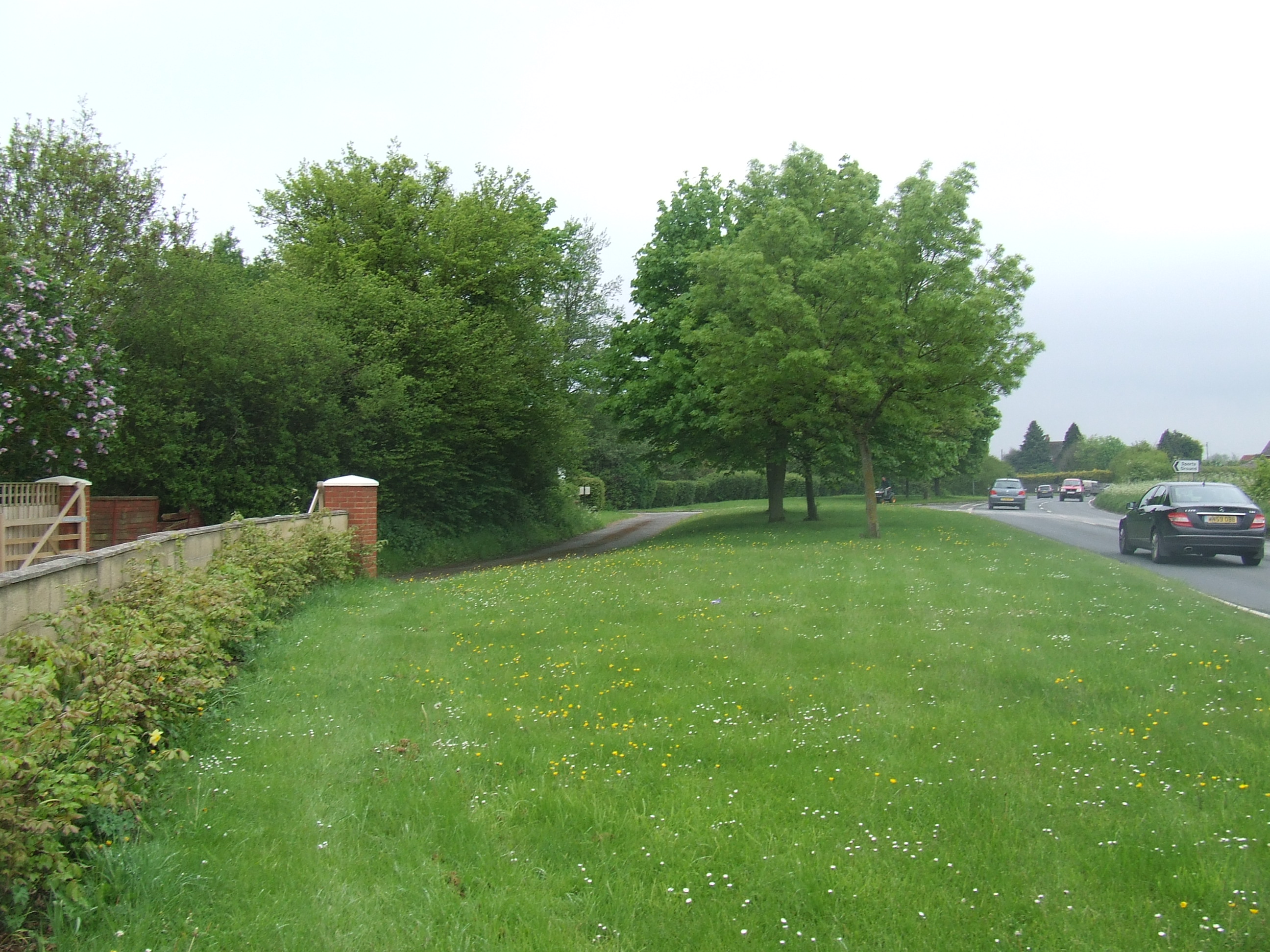
At [SU121867] south of the Sparcells tunnel under the railway, there is nothing marking the boundary here. The boundary heads south east from here and seems to follow the south side of the railway. It used to follow the river Ray on on the other side of the railway and was moved to the railway line in 1990. We turned left (south east) through the woods with no evident path and following within visible range of the railway�s southern boundary fence. A more suitable permissive footpath heads round the bottom of the hill a little to the south and west of our chosen line, this would be an easier walk.
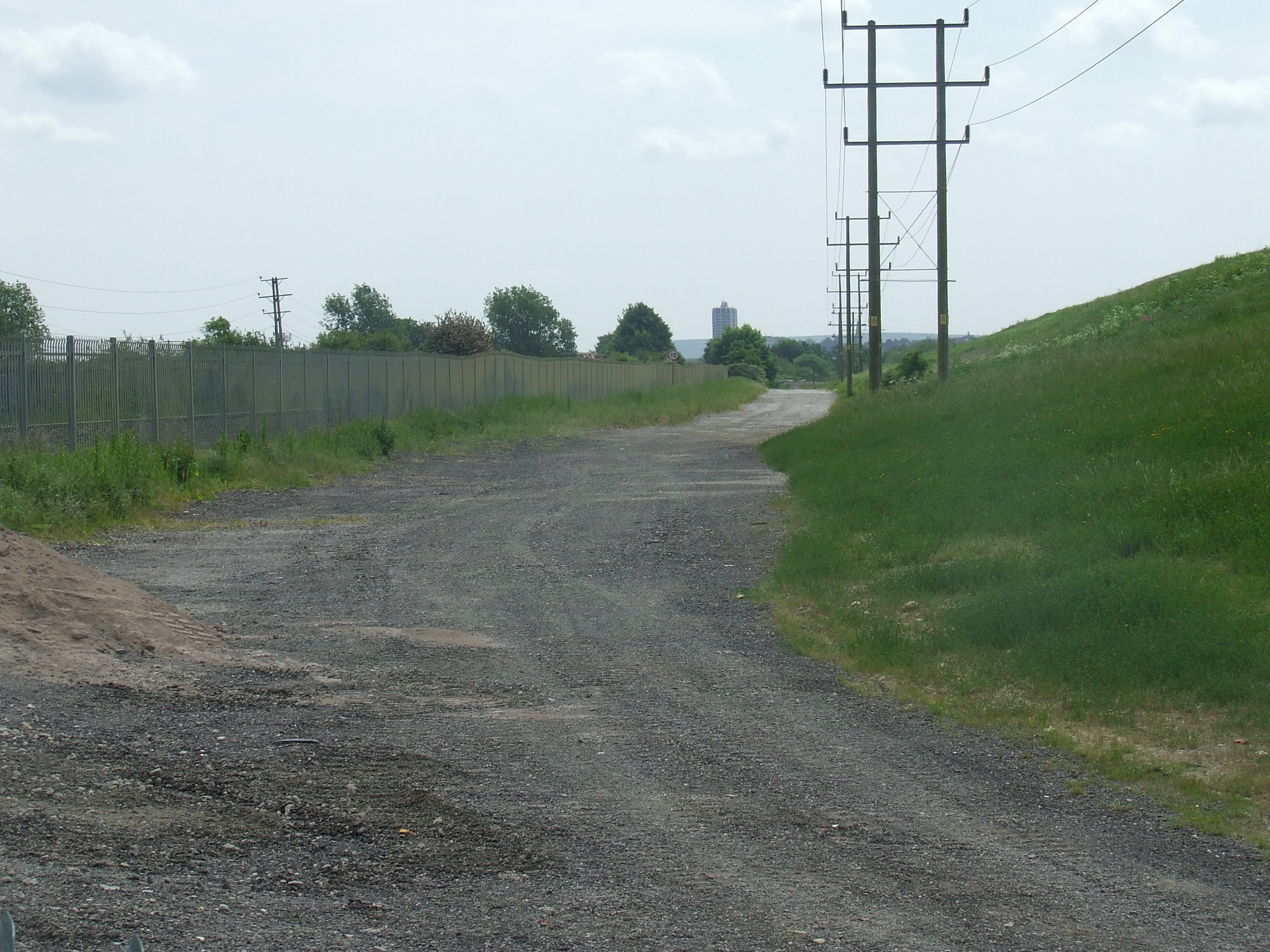
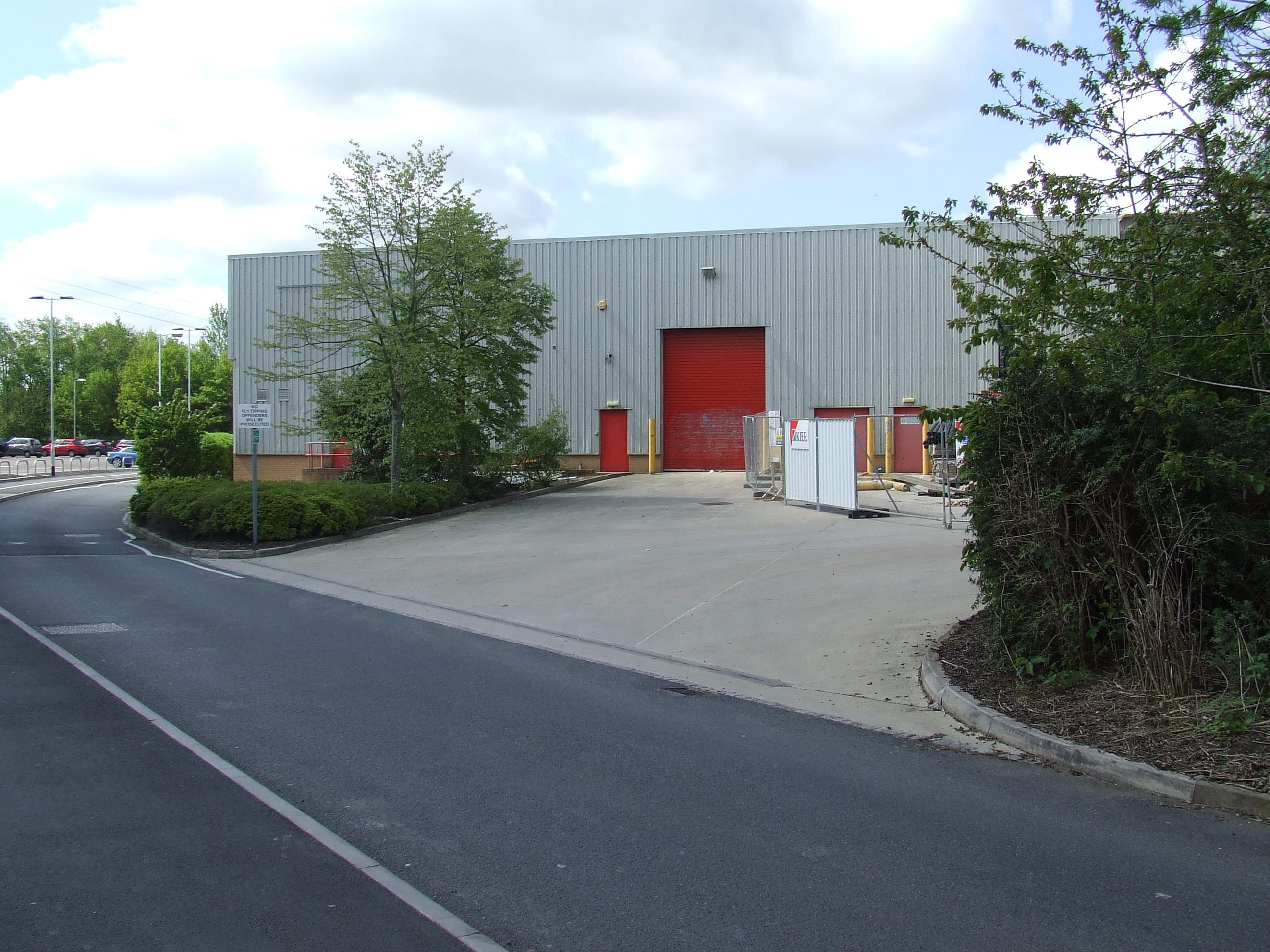
At the gateway next to the flare stack at Shaw Tip [SU1238650] there is nothing specifically marking the boundary. By prior arrangement, we went south east along the track next to the railway fence across the north side of the closed section of Shaw Tip. There is no public access here. The roadway is wide, and local knowledge suggests the parish boundary comes inside the tip site a few metres from the railway fence, the old line of the bottom of the railway embankment before the railway was single-tracked in 1968. There is nothing to mark the line of the boundary here.

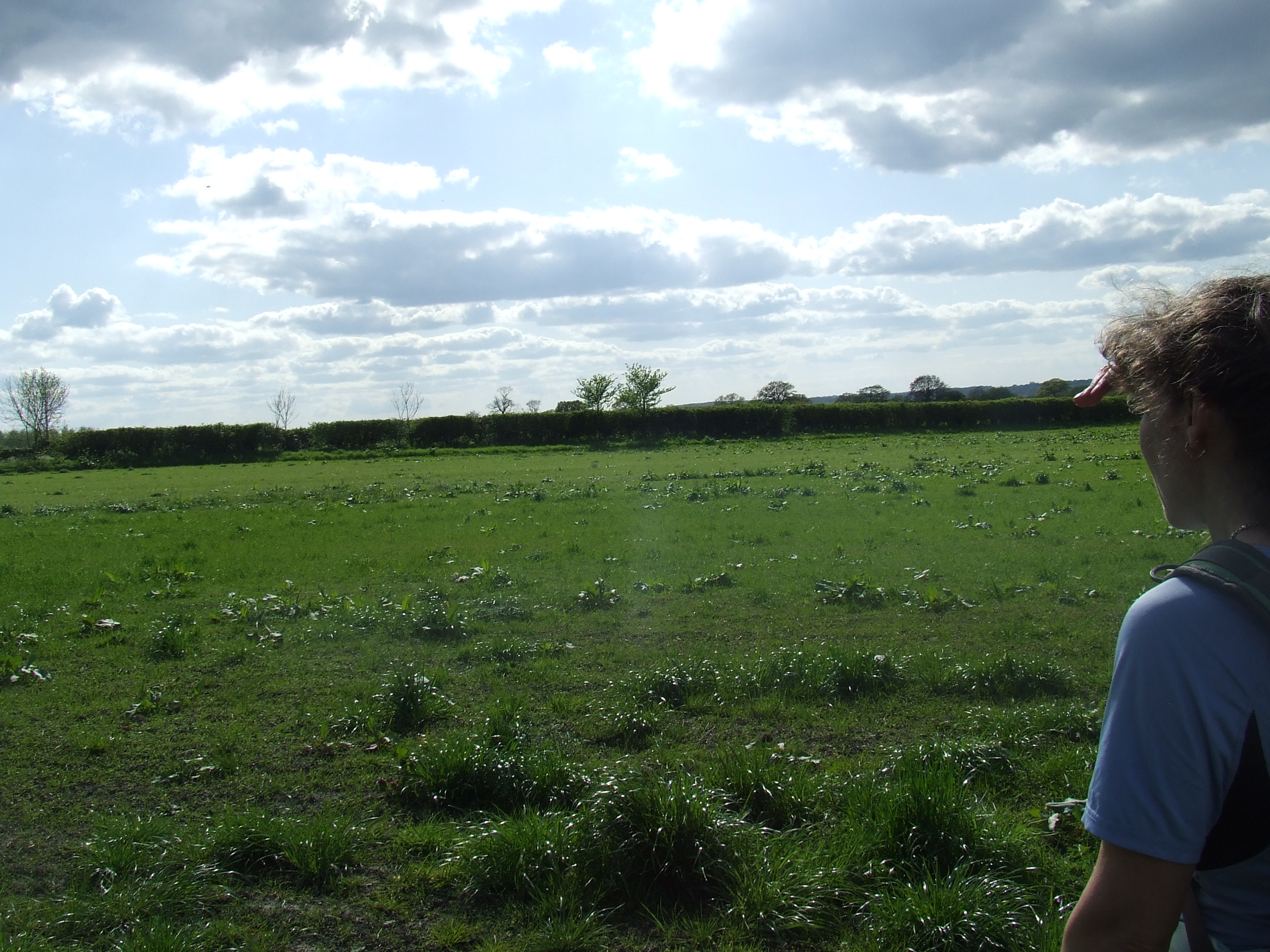
At [SU128861], the Swindon Lagoons north east gate, the parish boundary turns and heads south up stream of the River Ray, and after a few metres follows a meandering line across the Thames Water�s Barnfield Waste Water Treatment Facility. Local opinion is that it follows the old line of the River Ray before it was canalised round the expanded Barnfield site in 1943.There is no public access here and there is nothing to mark the boundary. It is unlikely that there is anything to mark the boundary across the Barnfield site as it has been subject to significant development. We saw a kingfisher here.
Pastoral responsibility changes here, from Holy Trinity Shaw to Westlea
Our parish neighbours change here, from St Mary�s Rodbourne Cheney to St Augustine�s Church, Even Swindon
Thanks to:
Richard Fisher and the team at Swindon Borough Council Environment & Regeneration Department, Stuart Burnley of Thames Water�s Barnfield site, Neil Pullen of Wiltshire Wildlife, Simon Wicks and Gordon Shaw for their assistance in researching this section of the route.
Further thanks to Richard Fisher for his permission and assistance to access the boundary.
the pastoral responsibility of Westlea,
our parish neighbours being St Augustine�s Church, Even Swindon
At the Swindon Lagoons Gate, We were unable to gain access to Thames Water�s facility and also unable to walk across the Swindon Lagoons and River Ray Parkway sites, so continued to walk ESE towards, and then along Galton Way to the end where we turned right onto the B4006 and then walked along Barnfield Road to the end.
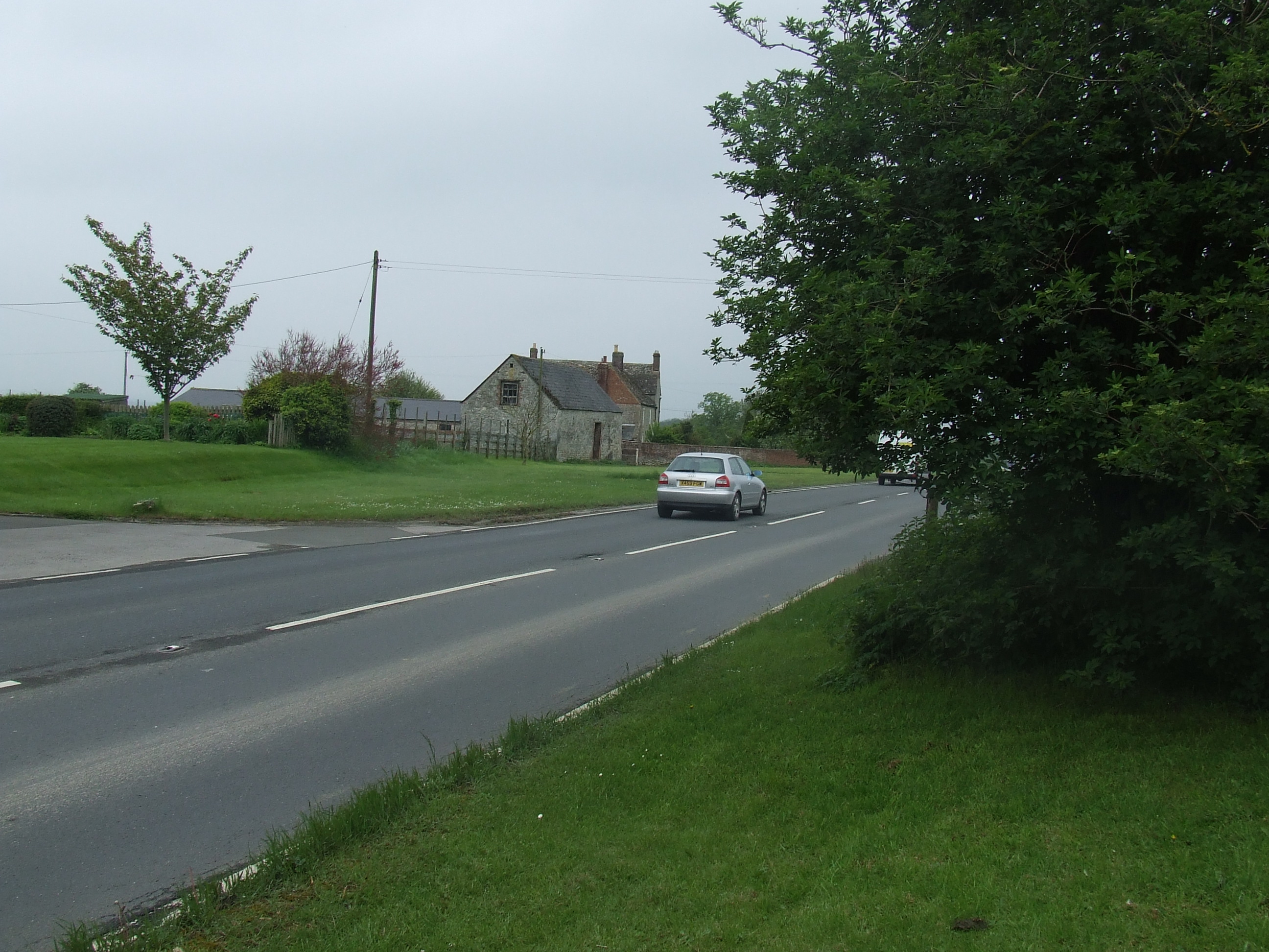
At the River Ray Parkway [SU 129854] the boundary passes out of the Thames Water Barnfield site some distance east of the current River Ray and heads south across the car park at the back of the Thamesdown Bus depot. There is nothing to mark the boundary here. The boundary then heads south east towards the B4006 Great Western Way on a line almost parallel with the existing River Ray, though probably still following an old line from before the river was straightened here. This is publicly accessible ground and footpaths are available. There is nothing to mark the boundary here, though it would be a good place for such a marking. We followed the footpath alongside the river Ray.
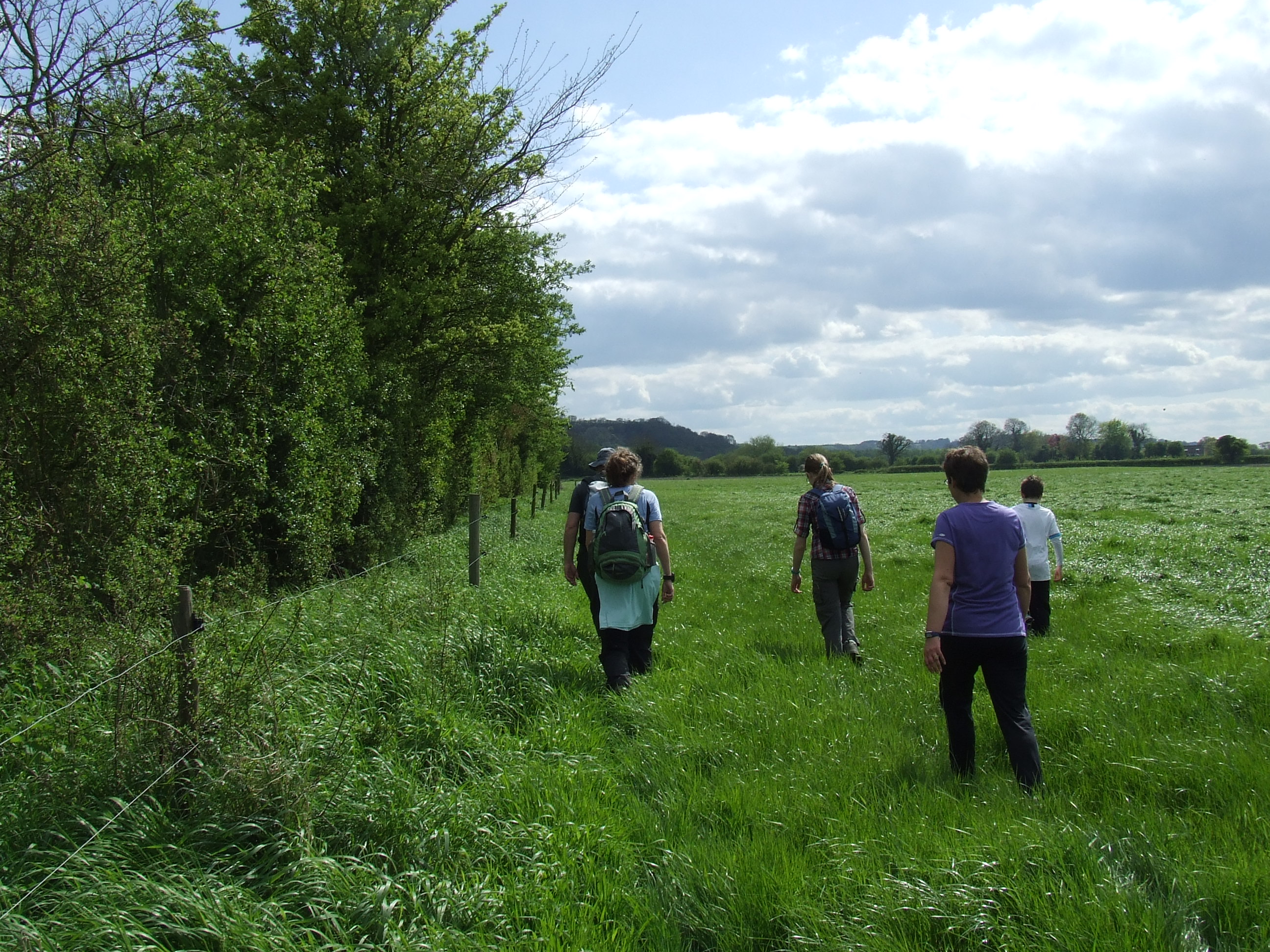
At [SU130851] just before the footpath crosses the River by a footbridge a public footpath, turns left and heads north east. There is nothing to mark the boundary here. The boundary heads north towards a copse of trees and undergrowth under which flows a small stream or drainage ditch that crosses under the road here. We climbed the fence to the road. There is no safe public access here (it�s a busy dual carriageway with 50mph speed limit)

At the side of the Great Western Way at [SU131851] Road signs saying �West Swindon� facing north east on both sides of the South Westerly carriageway, mark the boundary here. Having crossed to the south eastern side of the road we walked south west along the roadside to a point where the roadside bank is lower and a large overgrown stone is set. Having cleared it, it seems the stone is not of particular note, being just block of old concrete. We returned to and turned past the Armco and descended back to the River Ray at [SU131851]
The boundary follows the River Ray south east around the border of Mannington Recreation Ground. Apart from the river nothing marks the boundary here.
At [SU133849] the boundary leaves the line of the river heading south through the trees beside the path to the mown field, and then turns east back to the line of the river. We speculated that the line may be circling an old pond or reservoir. There is nothing to indicate the boundary at this point. The boundary continues to follow the river, so did we.
At the junction with the footpath from Redcliffe Street (junction at SU133846] the boundary seems to follow a line a few metres to the south east of the current river, apart from scrubby ground in the field there is nothing to mark the boundary here � though the footpath would be a good place for one. The boundary continues following a line a few metres to the south east of the river across the corner of the site of the changing room building.
Close to Paddington Drive a hedge and fence follow the likely line of the boundary, though there is nothing to mark it. The river Ray is culverted under Paddington Drive (at SU132849] (and Sainsbury�s Bridgemead site beyond it). It�s probable that the boundary follows that line.
We crossed the road and walked straight across the low hedged border of Sainsbury�s car park, a habitual footpath of convenience exists here, on the probable line of the boundary, though no doubt coincidental. The boundary follows a straight line directly towards the Western corner of Sainsbury�s store building and heads for the old railway line embankment the opposite side of the car park at [SU131843].Of course there is nothing to mark the boundary here.
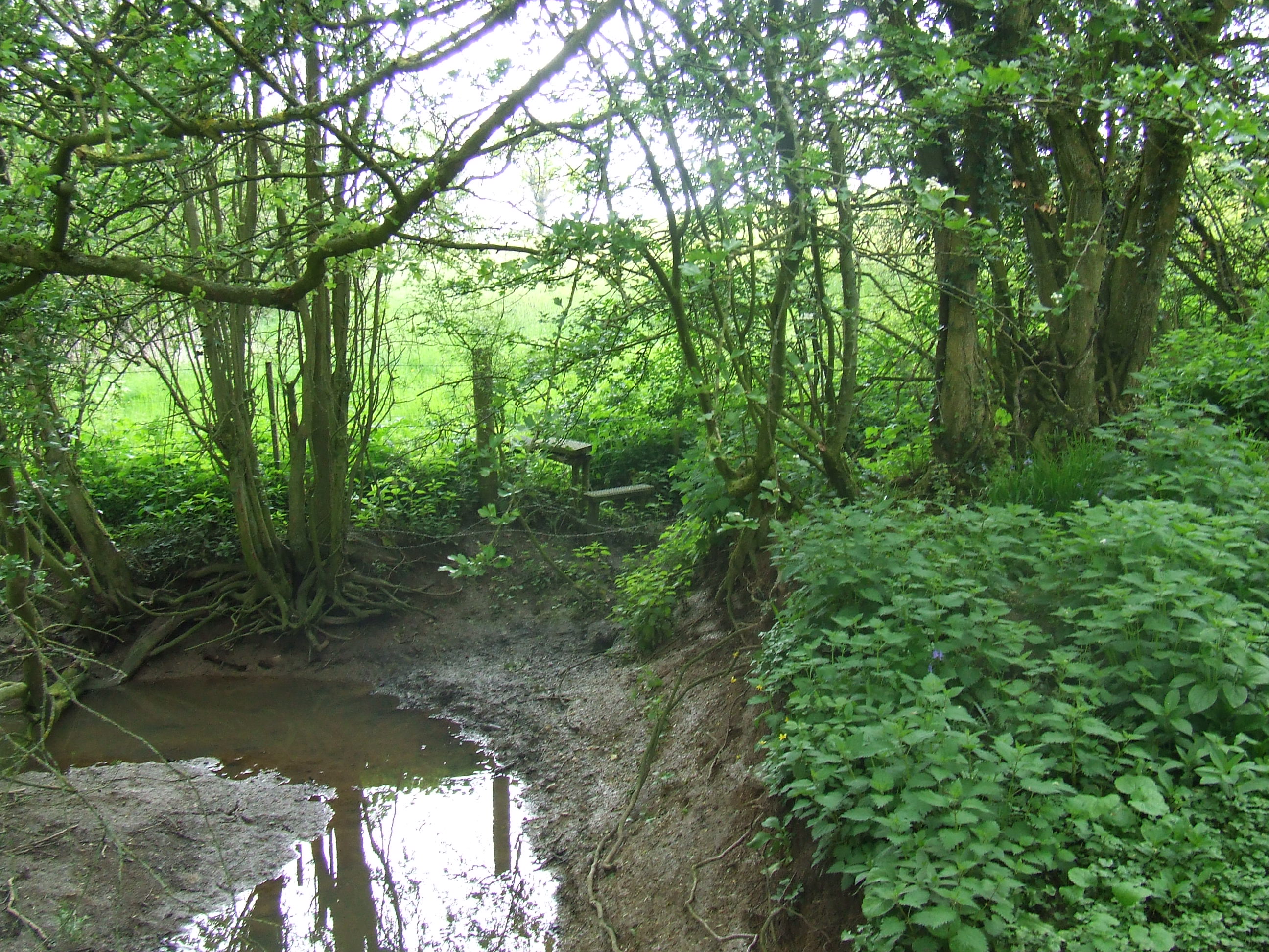
We were advised not to climb the bank of the old railway line so diverted round the end of the wall at [SU131843] and reached the public footpath leading to Ashworth Road, turning left. Walking past the Ashworth Road trash store we headed off the public path into undergrowth to reach the inflow or the River Ray culvert under Sainsbury�s site. The boundary follows the line of the river southwards though undergrowth below the old railway embankment. There is no convenient public access here, though we walked with permission off the public path. There is much litter here, though nothing to mark the parish boundary. The path is easier. We rejoined it at [SU131840) where the stream goes under the path and headed south along the path to the Wootton Bassett Road (A3102).
We crossed the Wootton Bassett Road at [SU131840] the pedestrian crossing, the river and parish boundary cross almost at the same point (the river underneath). The boundary then heads a few metres west across the car park directly behind the shop (recently Carpet Right) and then south towards and then along the edge of the car park across the access road. It is presumed this is follows an old meander of the river Ray from before the Mannington Retail park was developed. The boundary then follows the existing line of the river behind the car park and towards a culvert under the London to Bristol railway line. Apart from the river there is nothing to mark the boundary here.
At [SU131838] the culvert under the London to Bristol railway line our parish neighbours change from St Augustine�s Church, Even Swindon (north east of this point), to St Mark the Evangelist Swindon New Town (east of this point), and then again immediately to St John the Baptist & St Helen, Wroughton (south east and south of this point). Apart from the culvert there is nothing to mark the parish boundary at this point.
Pastoral responsibility changes here, from Westlea to Toothill.
Thanks to: Annie Ellis Rights of Way Officer and Mel Campbell of Property Service at Swindon Borough Council, and Simon Belcher for their assistance in researching this section of the route. Further thanks to Annie Ellis and Mel Campbell for their permission to access the boundary.
the pastoral responsibility of Toothill,
our parish neighbours being St John the Baptist & St Helen, Wroughton
At [SU131838] the boundary heads WSW towards Blagrove, following the North fence of the railway embankment. There is a public footpath close to the boundary, then further from the boundary but parallel to it, and we followed this. There are no other specific markers of the boundary.
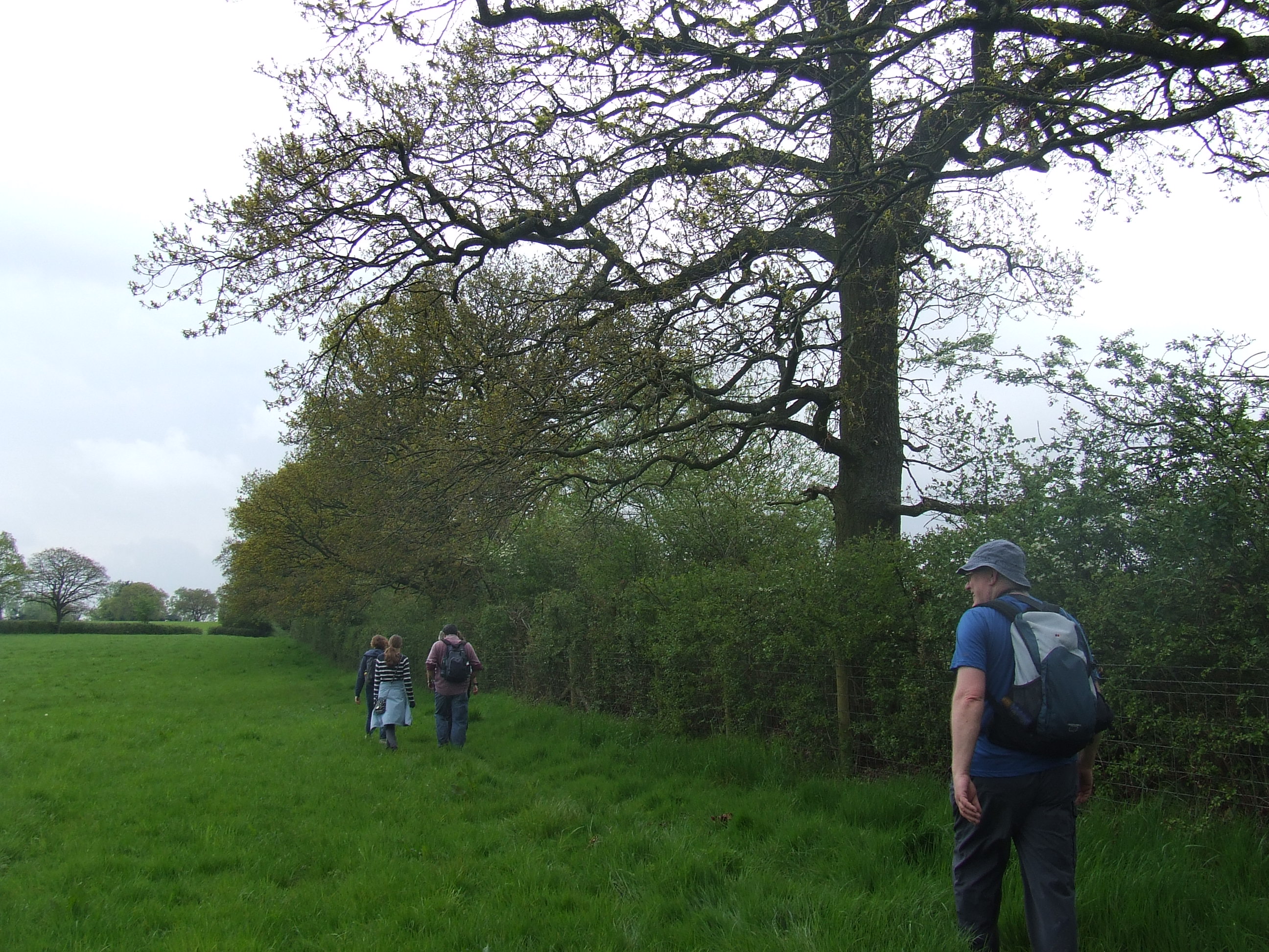
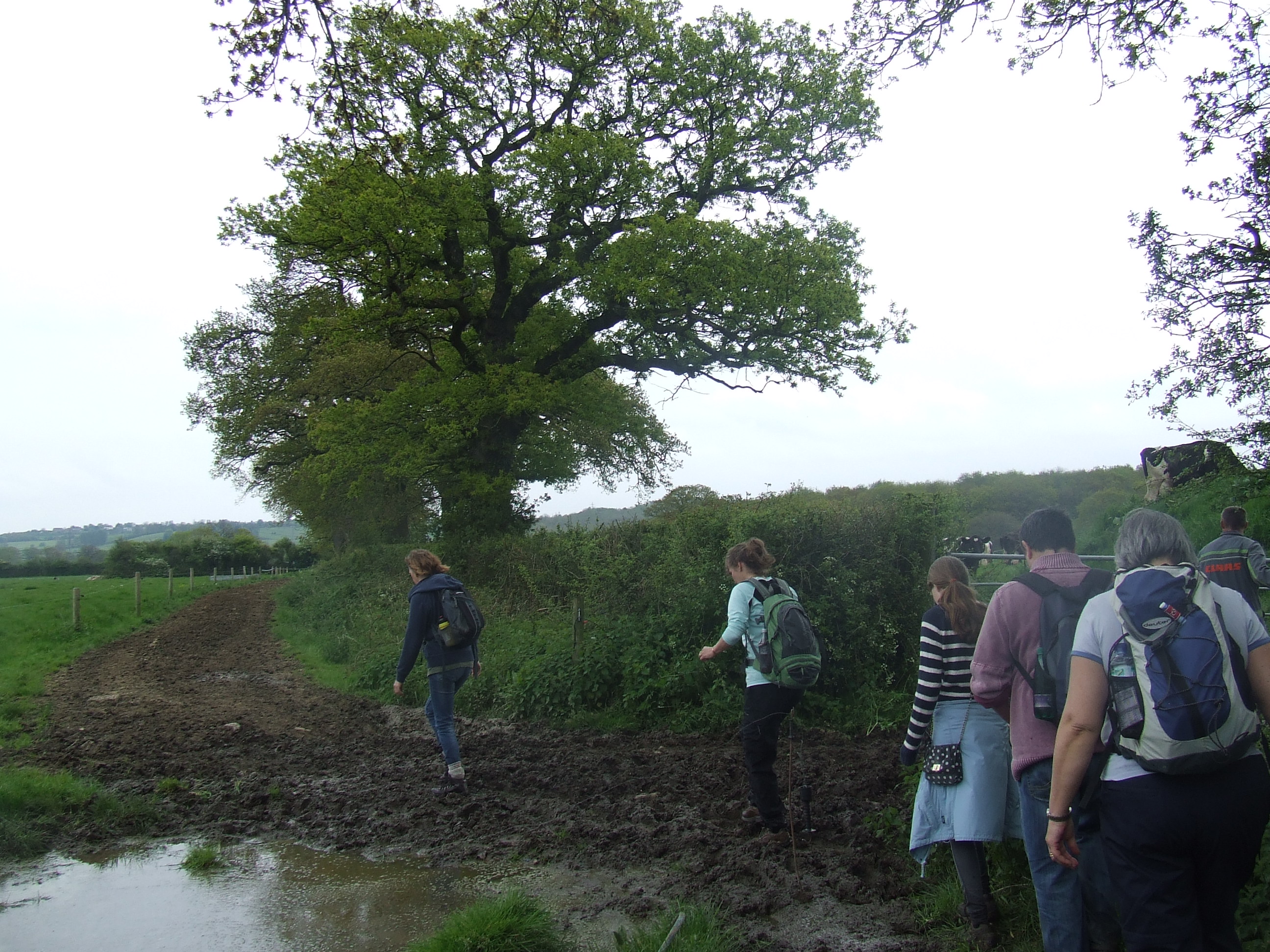
We reached the new footbridge over the railway at [SU121830] and crossed the railway. There was at the time a pedestrian-only level crossing some way to the west of this point. At the date of perambulation this was being closed by the council, the right of way across the railway to be removed � the footbridge is by far the safest method. At the south side of the footbridge we crossed into the field and turned right along the field boundary until we came to a suitable crossing point. It turned out not to be particularly suitable, a very wet ditch, a multiple strand barbed wire fence and a large muddy puddle beyond. Evidently this public right of way is not quite yet open. We managed, and regained the railway embankment south fence and followed it to the south-west. The civil parish boundary clearly follows the north fence of the railway. The line of the ecclesiastical parish used to follow the stream that almost parallels the railway first on the north side then on the north side, the line was tidied up using the line of the railway when the joint parish of The Lydiards was formed in 1981. There is nothing specific to mark it here.
At [SU113826] the public footpath runs alongside the railway under the M4 motorway, how convenient!
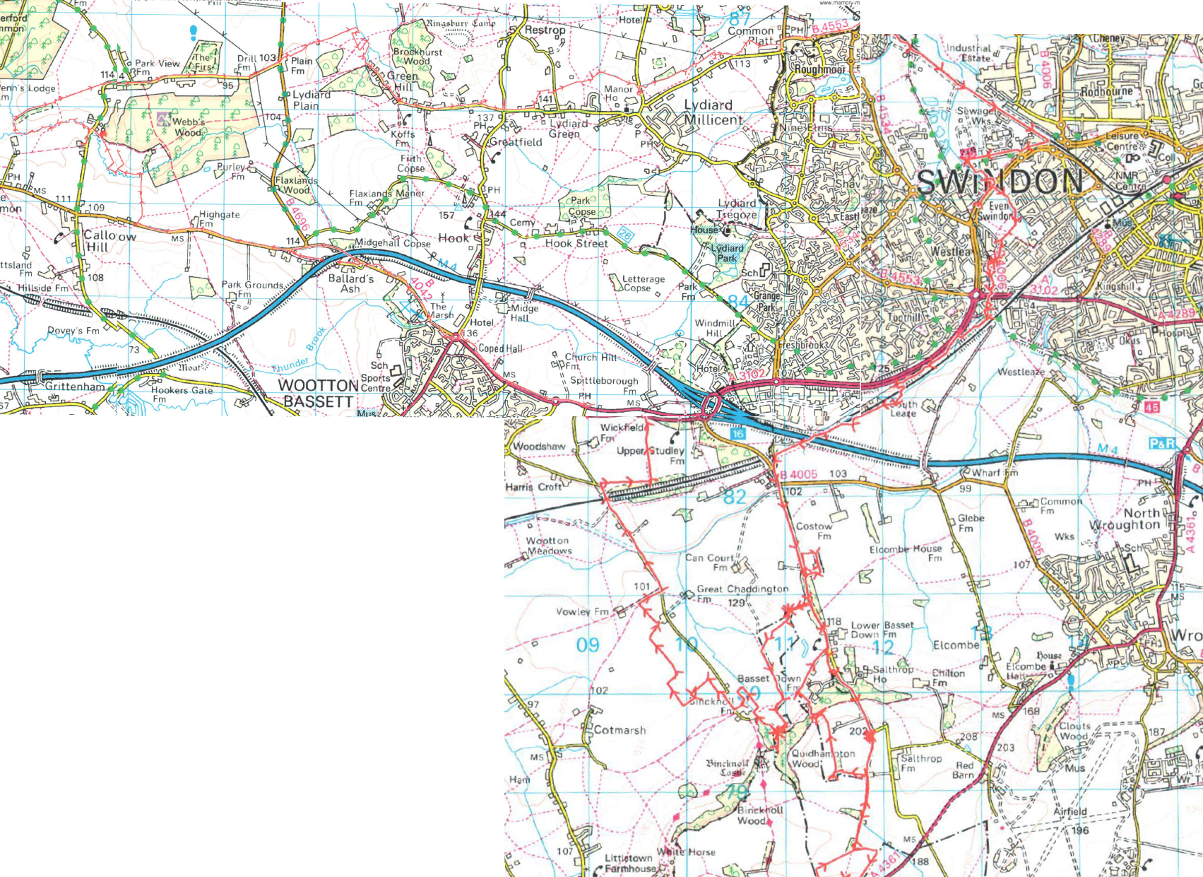
Since 1981 the boundary continues towards the Hay Lane bridge, where the boundary turns south away from the railway onto an ancient line heading along the western side of Hay Lane. Apart from a very overgrown hedge line there is nothing to mark it. We followed Hay Lane, crossing the new road and gaining the western side near Blooms Garden Centre at [SU109823].
Hay Lane marks the route of a pre-historic trackway from Avebury to Cricklade, known as �The Ancient Way� �Saltharpeswaye� or Salthrop Way. Clearly this has formed a boundary between manors since before parishes existed.
Pastoral responsibility changes here, from Toothill to St Marys Lydiard Tregoze.
Thanks to Annie Ellis Rights of Way officer at Swindon Borough Council and Mr. David Williams of Blooms Garden Centre for their assistance in researching this section of the route.
the pastoral responsibility of St Marys Lydiard Tregoze,
our parish neighbours being St John the Baptist & St Helen, Wroughton
At [SU109823] the boundary runs parallel to the western hedgerow behind the paddock next to Can Court Cottage and a few metres to the east of it � the middle of the paddock. With permission, we climbed the fence and walked to the gate. There is nothing to mark the boundary here. This is private property with no public access, but clearly visible from the roadside. At Can Court Cottage there is a field gate next to the front drive that we are told is on the old line of Hay Lane, the west side of which defines the parish boundary
The parish boundary follows the right hand / west side of Hay Lane. There is a hedgerow and several large trees on the boundary line, but nothing specific to mark it. The boundary continues (and so did we) up Hay Lane to a point at [SU111814].
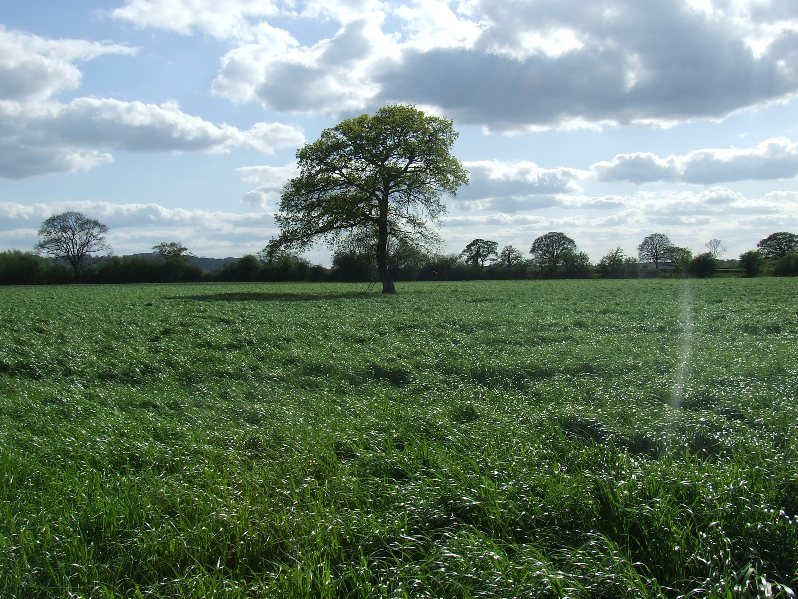
At [SU111814] just north of a road-sign facing north and warning of tractors turning, there is a large tree in the hedge on the right clearly defining a corner of the boundary. This would be a good place for a marker.
The boundary here turns left, crossing the road and heading along a hedge line with several large trees, runs to the east for the width of a field, then turns south round the �back� of Hurst copse. On the South side of Hurst copse the boundary turns west again back along the field boundary back to Hay Lane.
There are many large trees defining the boundary, but nothing specific to mark it. As the hedge was thick we walked up to the gate and back along the inside of the hedge in order to walk round all four sides of the rectangle. This is private property with no public access, we walked with permission.
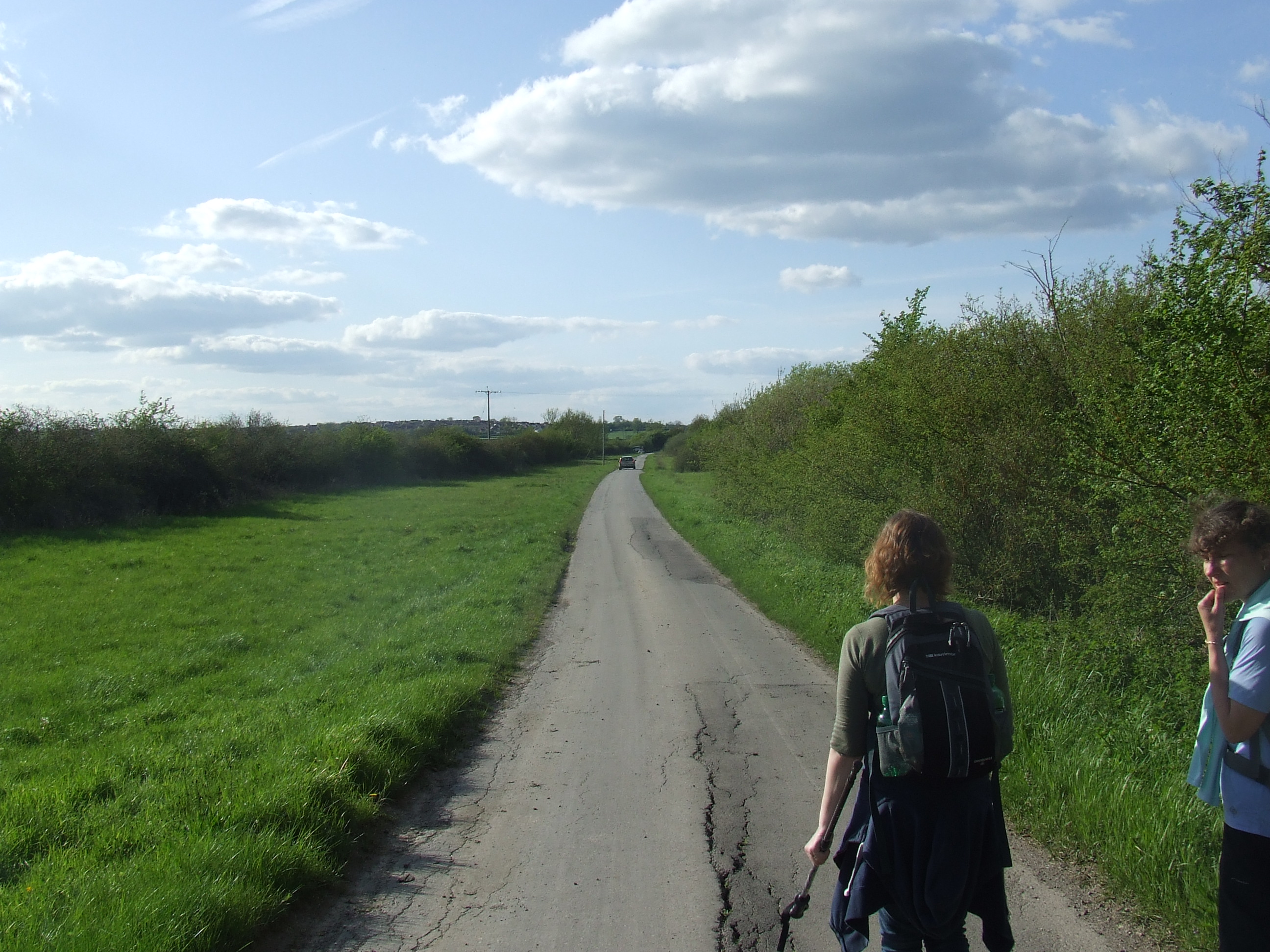
Once back at Hay Lane we continued southwards sticking to the boundary at the right (west) side of the road. In places the roadside verge is wide, the hedge line and boundary are more than a couple of metres from the road.

Local opinion is that the old road was a drove road and significantly wider than today�s lane.
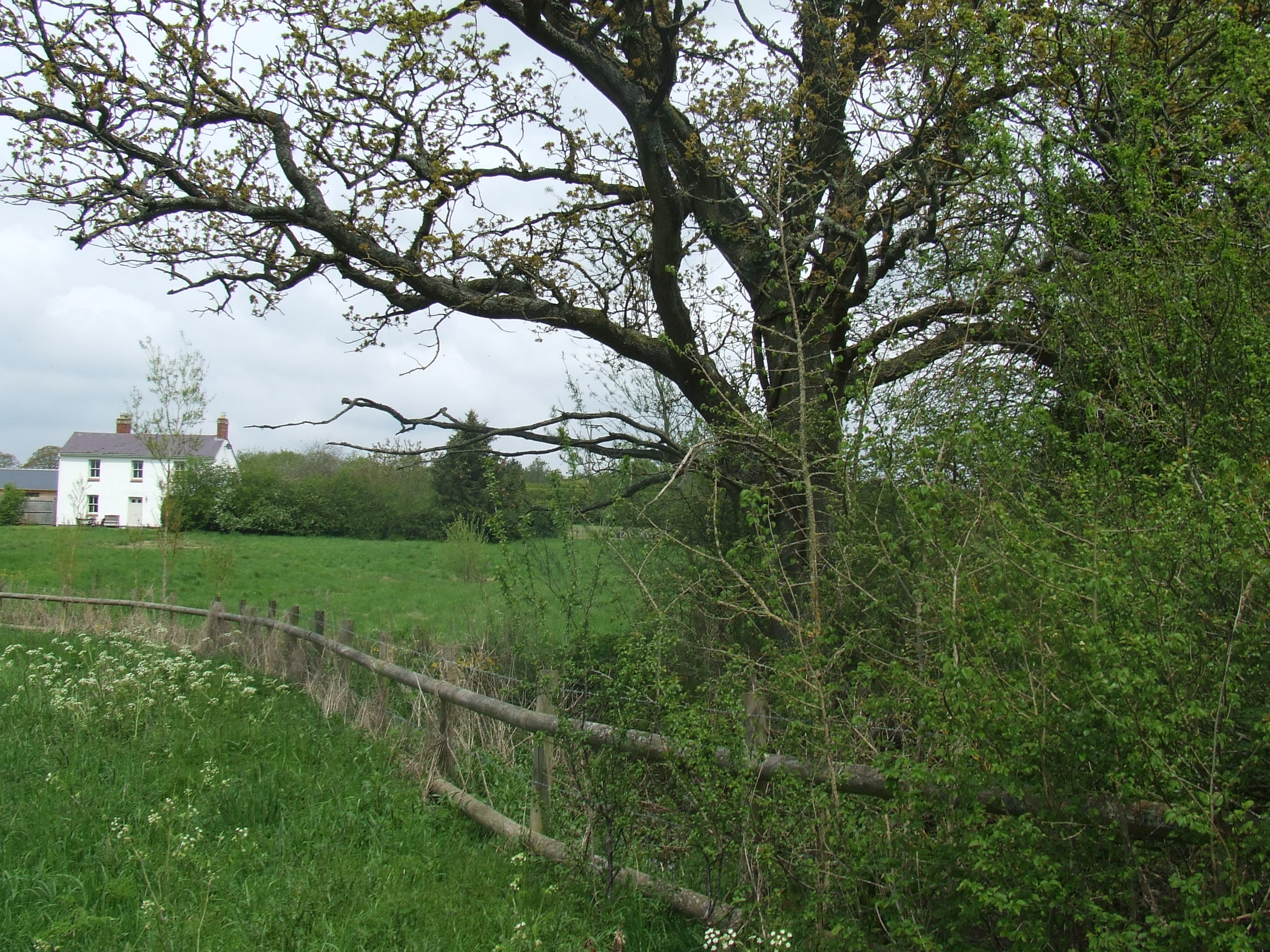
At the entrance to Bassett Down Estate [SU114804] the boundary leaves the hedge line on a line slightly further west than the roads edge, and heads behind Bassett Down Lodge then parallel to the road. We climbed the rail fence and walked close to this line in the field beyond. Apart from the property boundary there is nothing to mark the boundary. This is private property with no public access, we walked with permission.
At [SU114802] the boundary crosses the entrance drive to Bassett Down Old Coach House and heads south across the garden of Bassett Down House, bends parallel to the current line of Hay Lane, but 10 or 20 metres from it, to its west and south, and follows a curving line through with embankments visible from the road and regains Hay Lane some distance up the hill. We did not walk across the garden, but returned to Hay Lane turning right/south/uphill. The boundary having returned to Hay Lane then follows its line on its western edge / right-hand side towards Salthrop.
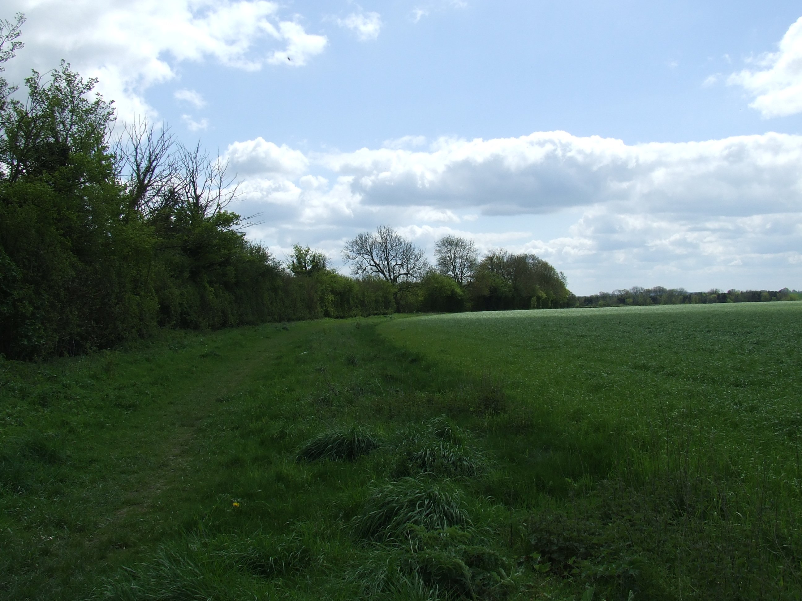
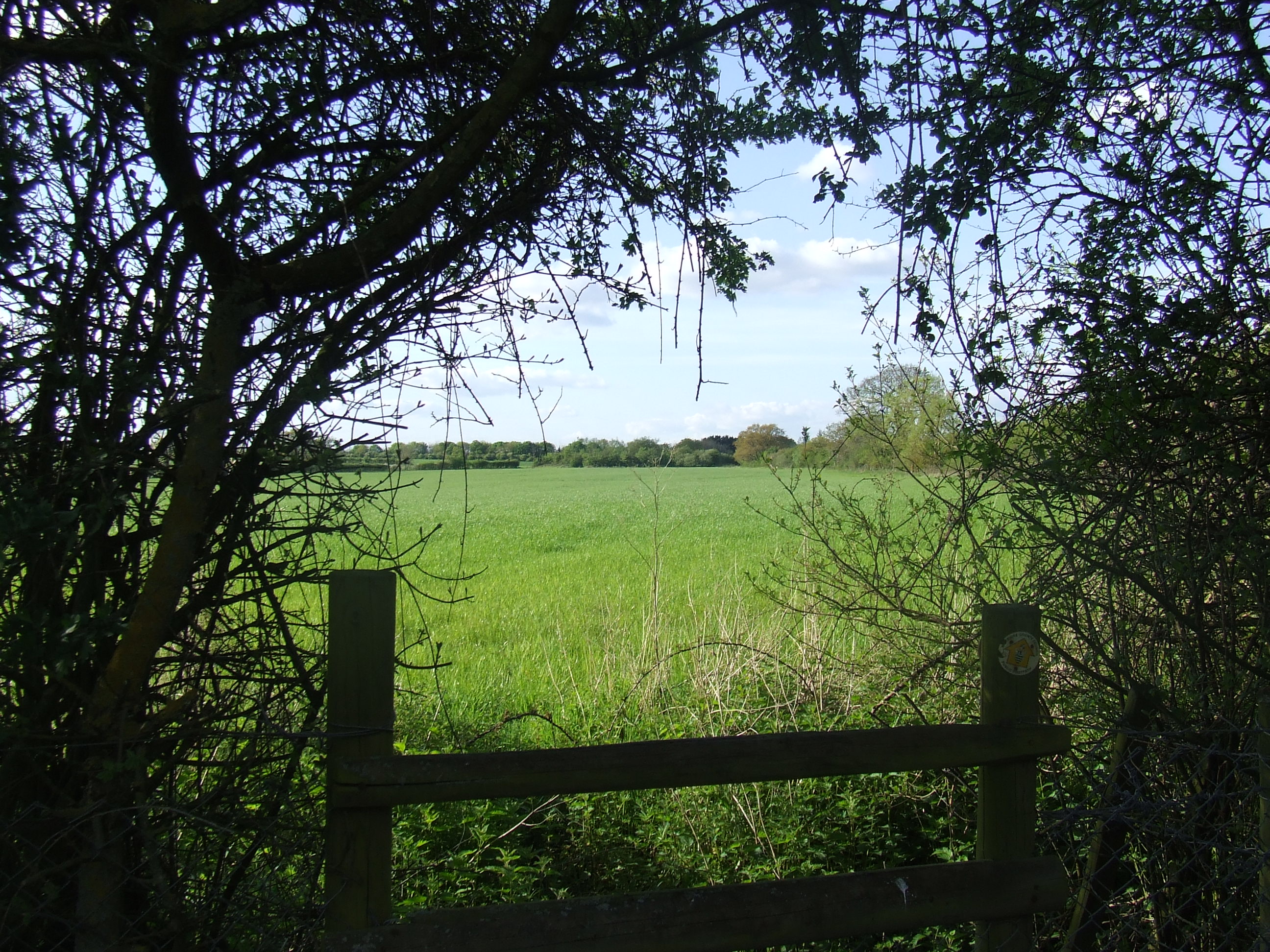
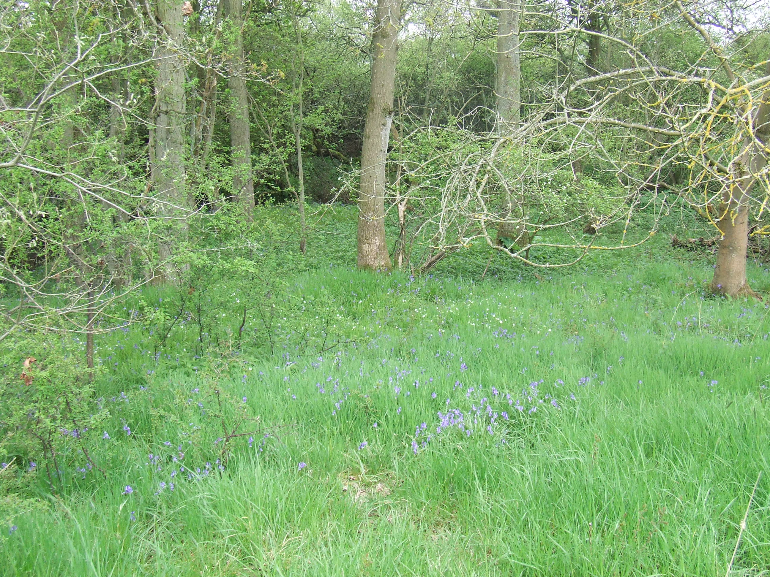
At the �reservoir� marked on the OS maps at [SU118795] the boundary leaves Hay Lane and heads almost directly south. So does the line of the public footpath, however it is a fairly overgrown green lane, and there is a clear habitual path to the west of this line, at the field boundary. We turned right through a gateway into the field round the end of the green lane, and turned left along its western edge on the path and walked south. Lunch was taken here. Apart from the green lane and some large trees in the hedgerows there is nothing to indicate the boundary, though there is considerable leisure walking traffic here, and this would be a good point for such a marker.
At [SU118791] the green lane ends, our parish boundary turns right along the field boundary to the West. However we have a detached portion of the parish some distance south of this and so we headed on through Wroughton Parish land. The path kinks to the left and continues to run south but on the left hand side of a narrowed hedgerow. We have no boundary here to mark.
At [SU117783] we reach the detached field.
Thanks to:
Mr. John Ingleson of Can Court Cottage,
Mr. Henry Smith owner of Hurst Copse,
Mr. Stefan and Mrs. Lorraine Dzuibinski of Bassett Down House,
Mr. Mick and Mrs. Daphne Cooper of the Bassett Down Estate,
Mrs. Gill Horton of Salthrop,
Mr. James Hussey of Broad Hinton,
Mr. Phil Horton of Uffcot,
for their assistance in researching this section of the route
Further thanks to Mr. Ingleson, Mr. Smith, Mr. Cooper and Mr. Horton for their permission to access the boundary.
the pastoral responsibility of St Marys Lydiard Tregoze,
our parish neighbours being St John the Baptist & St Helen, Wroughton.
At [SU117783] we reach the detached field. Our parish boundary starts again here and heads directly ahead SSW on the line of the public footpath, though there is no path across a standing crop. There is a splendid single tree on the skyline in the hedgerow ahead that across the field, this clearly marks the corner of the boundary.
We diverted to the left (to the east) around the field margins to reach the tree at [SU116781]. Our parish neighbours change here from St John the Baptist & St Helen, Wroughton to St Peter Ad Vincula, Broad Hinton
We continued SSW then east around the field margin to reach the southernmost extent of our parish � the field corner at [SU113779]. Our neighbours change again from St Peter Ad Vincula, Broad Hinton back to St John the Baptist & St Helen, Wroughton.
Apart from the field boundary there is nothing to mark our parish boundary here. We walked back to [SU113782], turned right and returned to [SU117783] where we turned left back onto the footpath we have come down, and left our parish again to cross Wroughton Parish land. We returned North to [SU118791].,
At [SU118791] we returned to the parish boundary � which here heads West along the field boundary towards the far copse. We aimed for an evident gap in the far field boundary entering the copse at [SU115791]. The copse has been recently extended, and the boundary follows an evident line of an old bank and ditch close to the division between old growth and new trees. There is nothing else to mark the boundary.
We emerged from the copse at its western extent and turn left down the field path 30 metres or so, where the boundary turns right into the standing crop for 50 metres or so, before turning right again and heading on a ragged line northwards up the centre of the field. From the map, the boundary probably follows old field lines which have been grubbed out. There is nothing to mark the boundary here, and crops are standing, so we head back north along the field boundary on a clear path towards Quidhampton (pr. �Quiddington�) Wood.
At [SU113797] the boundary passes into Quidhampton Wood, there is nothing to mark it and no gate. This is part of �Bincknoll (pr. �Bynoll�) Dip Woods� Site of Special Scientific Interest - the geology, physiogeographic features, flora and fauna may not be destroyed, damaged or disturbed without committing an offence under Section 28 P(6) of the Wildlife and Countryside Act 1981 (as incorporated by the Countryside and Rights of Way Act 2000). We detoured to the East to find a suitable gate on the bridleway and walked down through the wood to the bottom, emerging from the trees at SU112798]. This is private ground with access for the public only on public footpaths, we had permission to walk off the paths. We turned to the right and walked down beside Bassett Down Coach House and down to the golf course South fence at [SU111799].
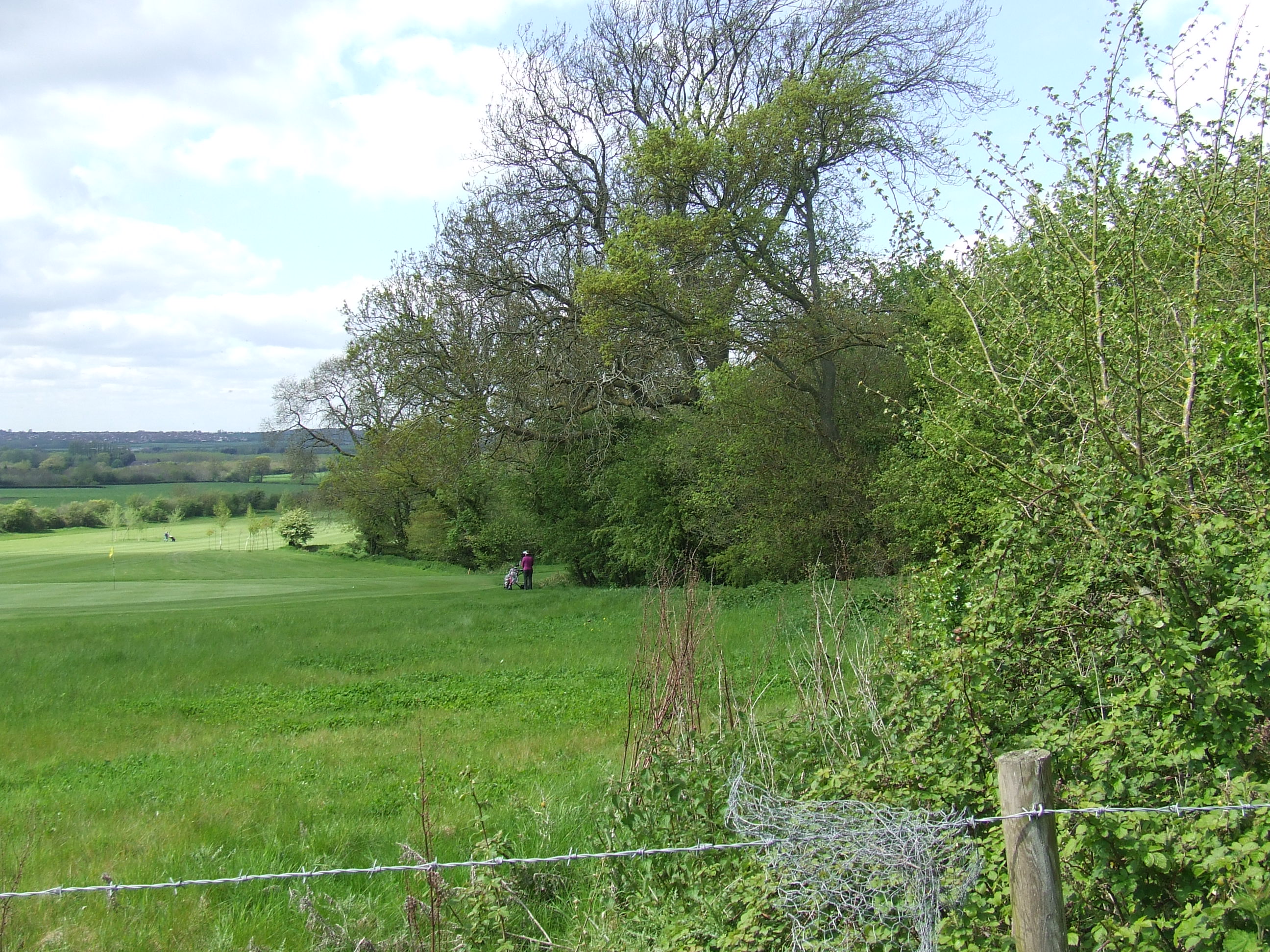
From here [SU111799] the parish boundary follows a jagged line north across the golf course � marked by lines of trees and some isolated standing trees, clearly old field boundary lines. The eastern half of the golf course is in our parish, the western half is not. Apart from the trees there is nothing to mark the boundary here. The golf course is private ground and it is not safe to access while golf is being played.
We detoured round the course by returning to Hay Lane at [SU114804], heading north to the Bassett Down Golf Club entrance at [SU112809], and then walking west to the club house at [SU110807].
At the club house [SU110807] our parish boundary comes from the south across the golf course and down a south/north line where a hedgerow is clearly visible. The boundary then heads round the club house, across the north side/front of the driving range and heads WSW across the centre of the field behind (north of) the club house. The field was being cultivated and so access was impossible, so we headed WSW almost parallel to the boundary towards the golf club fish pond, then SW (avoiding golfers) along the boundary of the golf course to a hedge next to the public footpath at [SU107804], climbing over the barbed wire and over the electric fence wire to gain the path.
From [SU107804] the boundary (and we) headed SSE alongside the golf course. So despite the Eastern side of the golf course being outside our parish, the fields to its west are inside … When we walked here the grass was long and splendid for diving into.

At [SU109799] the boundary (and we) turned right and headed SW along the field boundary then turned left SE and crossed back into Bassett Down estate property at [SU109797]. Apart from complex field boundaries there is nothing to mark the parish boundary here.
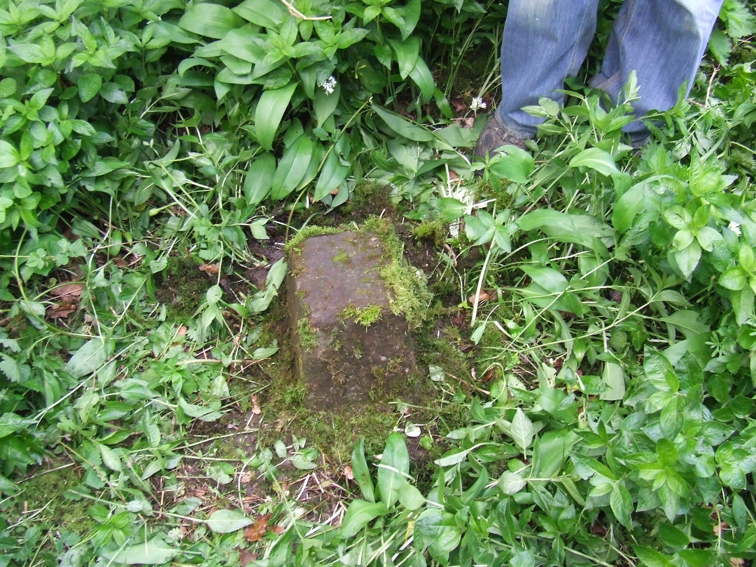
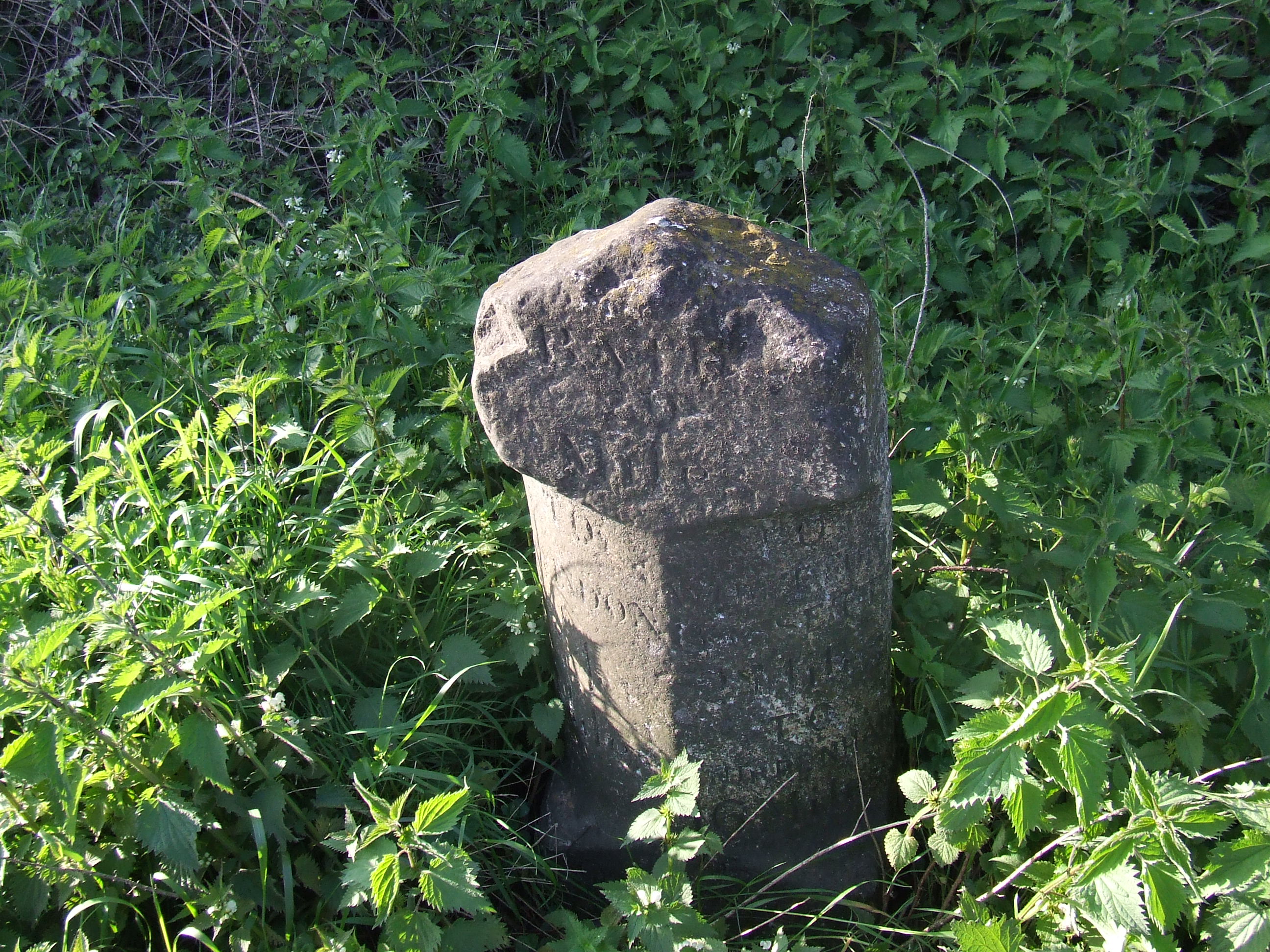
The boundary then heads uphill (SSE) along old field boundary lines to the bottom of Quidhampton Wood at [SU110796] then heading ESE towards a field gate at [SU109796] where we walked through to the south side to try and find some old boundary stones which are reputed to lie here. We found (and cleared) one at [SU10927958], but could not find the rest …
At [SU109795] our parish neighbours change from St John the Baptist & St Helen, Wroughton to Christ Church, Broad Town.
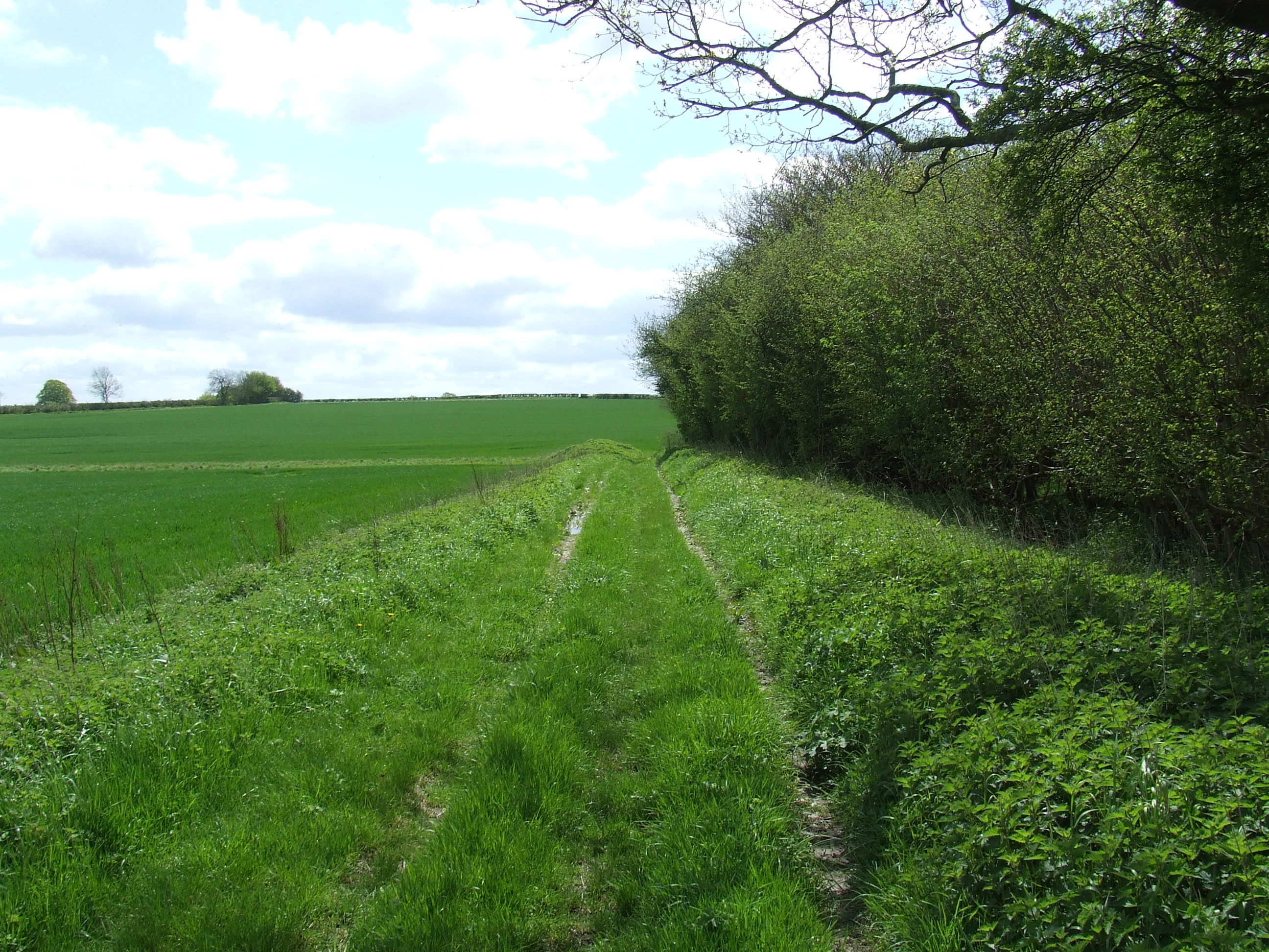
The boundary goes NNW on an old green lane in the woods above a stream. The path is passable though several fallen trees make it interesting. There is no public right of access here but the landowner is happy for people to walk with permission. This is another part of the �Bincknoll Dip Woods� Site of Special Scientific Interest.
The boundary and footpath continues at [SU109796] bearing left (NW) then bending right (NNW again) towards the back of Bincknoll Farm at [SU107797].
Thanks to:
Mr. William and Mrs. Juliette Nutland of Basset Down Golf Club,
Mr. Michael Hussey of Can Court Farm,
Mr. Mick and Mrs. Daphne Cooper of the Bassett Down Estate,
Mr. Chris Peachey of Fairford,
for their assistance in researching this section of the route
Further thanks Mr. Cooper, Mr. Nutland, Mr. Hussey, and Mr. Peachey for their permission to access the boundary.
the pastoral responsibility of St Marys Lydiard Tregoze,
our parish neighbours being Christ Church, Broad Town.
At the back of Bincknoll Farm at [SU107797] the boundary heads NW to the left of the barn/cowshed and to the right of the house, and turns right along the north side of the shed and on 30m or so into the middle of the field. The line turns left (NW) and runs down the centre of the field towards the hedge at the bottom (North). Apart from the building there is nothing to mark the boundary. It is possible a tree in the hedge at the North end of the field is intended to define the corner, where the boundary turns left and heads WSW, possibly along the bank between two deep ditches, to the corner of the field.
The boundary then turns left again and heads SSE along the deep ditch the other side of the field boundary to a point 20m south east of a gap in the hedge (which we took) where the boundary turns right and heads WSW across the field towards Bincknoll Lane.
We headed across the field and found a gap in the hedge at [SU105796].
Bincknoll Farm is private property but the owner gave us permission to access the boundary line.
On Bincknoll Lane at [SU105796] the boundary heads NW along the lane, so we did too. At [SU103799] the boundary continues to head NW where the road turns to the East. There is an isolated tree at [SU102801] which was certainly part of an old field boundary, and may well define the line of our boundary. We detoured slightly to the West of the correct line round what looked like weeds, but we are assured is a withy bed. Just NW of the isolated tree [SU102801] the boundary turns left and heads SW along the far (north) side of a field boundary with a deep ditch. We could find no way through at this point so walked SW on the south side of the boundary to a point a near [SU100799] the boundary turns left and heads SE on the west side of the field boundary.
We found a (tricky) way through the hedge, across the ditch and over a barbed wire fence to the other field boundary turning left and heading SE to [SU101799] where the boundary turns right and heads SW across the field. There is an isolated tree at [SU100799] that could have been part of an old field boundary and may mark the parish boundary too. We crossed the field, passing the tree to [SU099798]. This is private property and there is no public access, we walked with permission. Apart from the trees and field boundaries there is nothing to mark the parish boundary.
At the field boundary at [SU099798] we and the parish boundary turned NW and walked along the field edge to [SU098800]. Here the boundary continues NW for perhaps 100m then turns right and heads NE towards the far field boundary. As there was machinery turning hay, and we wanted to stick to field boundaries, we turned immediately NE and walked to [SU099801] before turning left and heading NW up the east side of the field boundary.
The parish boundary joins us and turns NW at [SU098802] and continues until [SU096805]. This is private property and there is no public access, we walked with permission. Apart from the trees and field boundaries there is nothing to mark the parish boundary.
At [SU096805] the boundary (and we) turned NE on a field track along the north side of a field boundary towards the farmyard at the back of Little Chaddington Farm. The boundary turns NW at [SU907806], this point is an overgrown hedgerow and we had to make a slight detour round a manure lagoon to follow the boundary NW along the field edges to [SU095809]. The boundary then turns right and at this point our parish neighbours change from Christ Church, Broad Town to St Bartholomew & All Saints, Royal Wootton Bassett.

The boundary then follows the north side of the hedgerow ENE back towards Bincknoll Lane again. This is private property and there is no public access, we walked with permission. Apart from the trees and field boundaries there is nothing to mark the parish boundary. There is a clear path here, though the public right of way is here extinguished and the bridle way just to the North, the drive to Vowley Farm, is the correct route. We regained Bincknoll Lane at [SU097810].
Thanks to Mr. Mark Bevin of Little Chaddington Farm for his assistance in researching this section of the route, and for his permission to access the boundary.
the pastoral responsibility of St Marys Lydiard Tregoze,
our parish neighbours being St Bartholomew & All Saints, Royal Wootton Bassett.
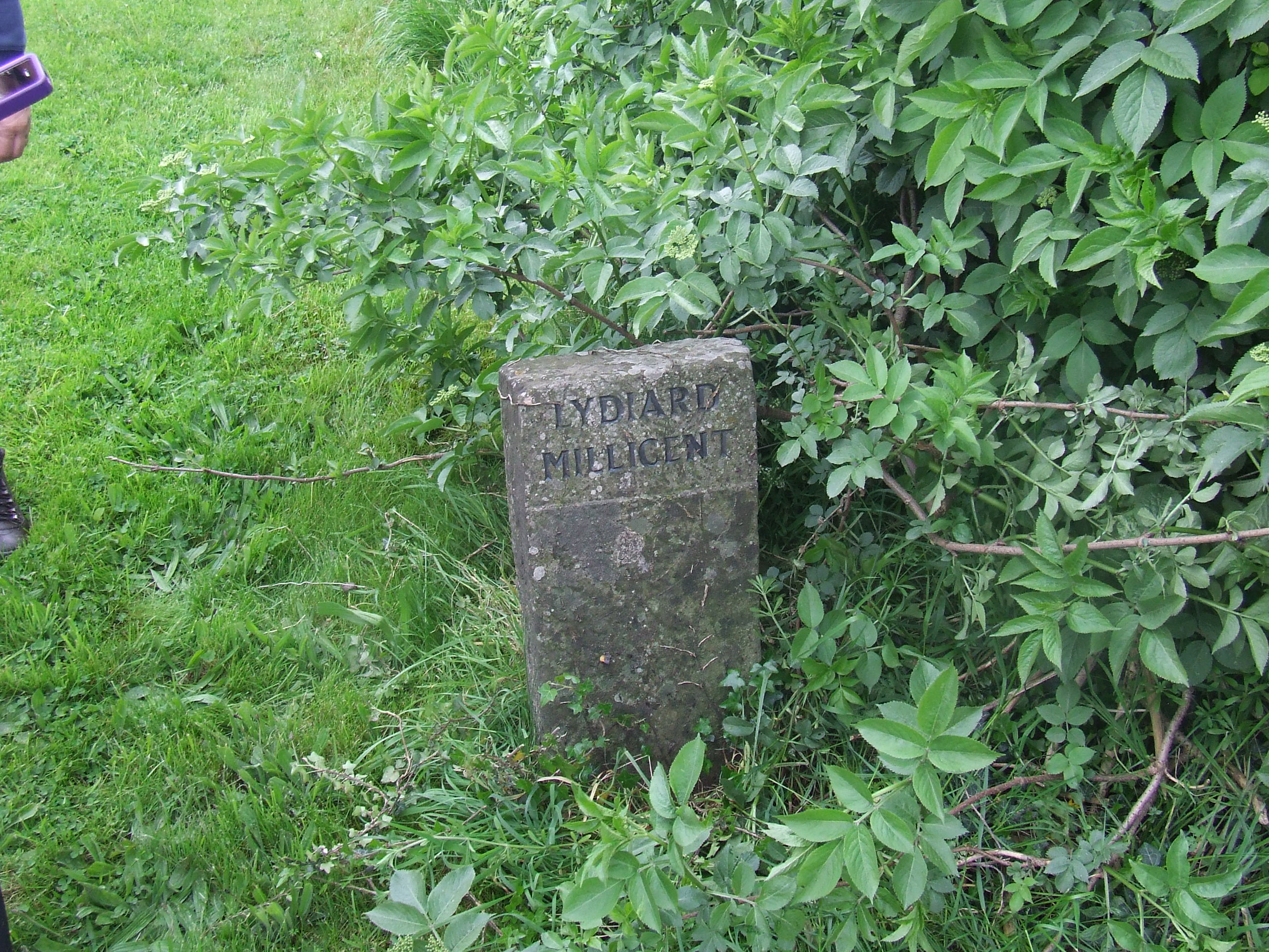
In Bincknoll Lane at [SU097810] there is a boundary stone on the east verge near the stile on the public footpath. The boundary follows then right hand (east) hedgerow NNW along Bincknoll Lane.
At [SU095814] the line of the road kinks to the west as it goes over the course of the disused canal. At this point the boundary continues on the original line following a visible hedge line for some of the way rejoining the road just North of the bridge as it straightens onto the original line again. There is a boundary stone on the east side of the lane on top of the bridge.
The boundary continues NNW along Bincknoll Lane on the right hand / east side following the line of the hedgerow the hedge line gets further and further from the current line of the road, until at the south side of the railway bridge [SU092819] the parish boundary and the hedge are some 10m to the east of the roadside. The boundary heads to the south side of the railway. The civil parish boundary continues up the lane, as did our parish boundary until 1973. It now turns right along the line of the edge of the railway cutting. There is a public footpath here but when we walked it was waterlogged and very overgrown. The boundary goes east until [SU096820], where it turns north and crosses the railway line. There is no way for people to safely cross the railway at this point, the road bridge is obviously preferable. We crossed the railway on the Bincknoll Lane bridge and continued NNW to [SU091821] and turned right onto the public footpath and headed west alongside Paradise Farm.
At [SU096821] we rejoined the line of the boundary (there clearly used to be a pedestrian level crossing on the boundary line, the track leading from it is evident, but the crossing is closed) We turned left onto the boundary line and headed north across a field on a public footpath to an obvious field boundary gap, then up the field edge of a second field to gain Swindon Road A3102.
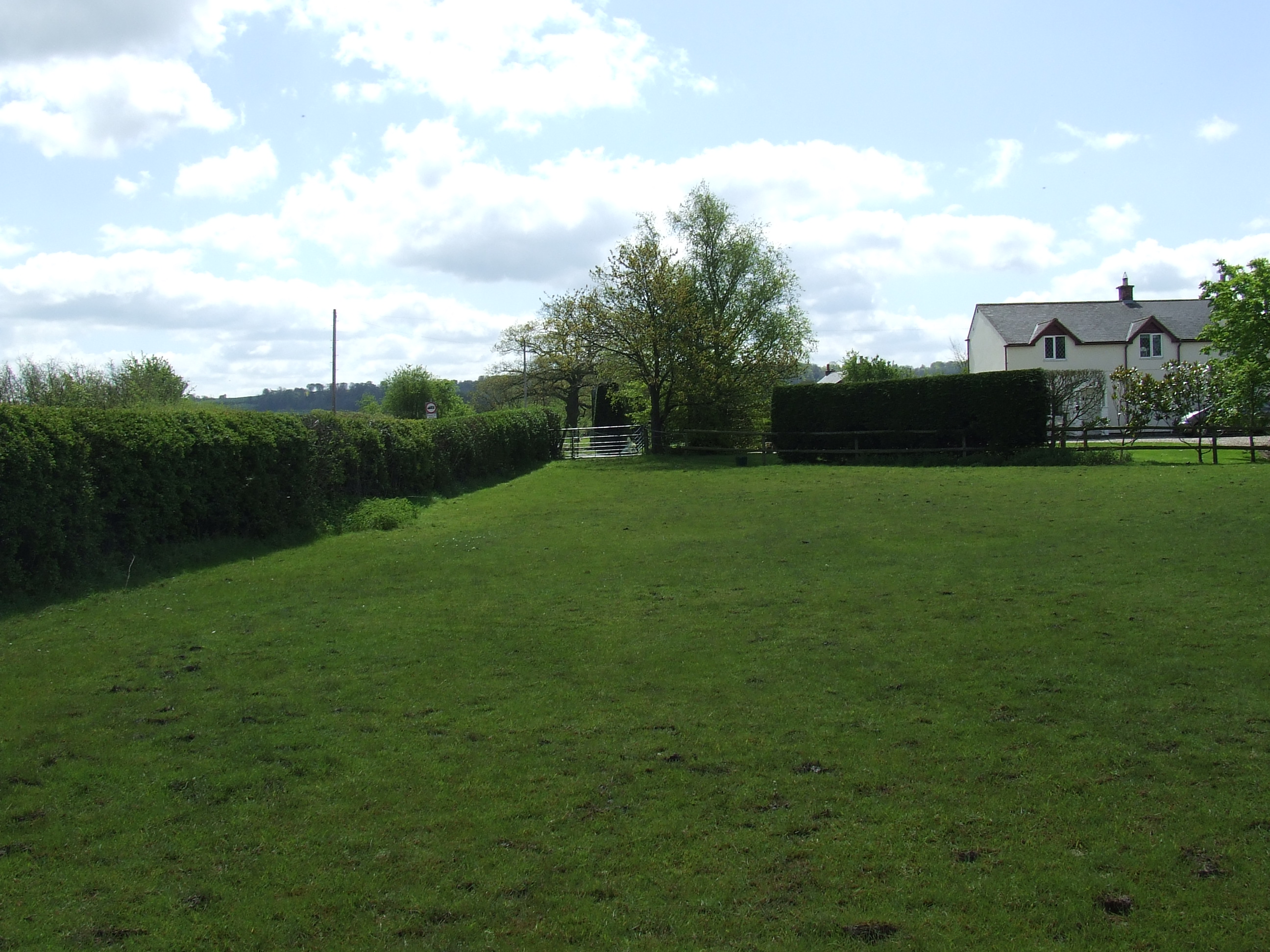
At Swindon road [SU096828] we and the boundary turned left to head west on the grass verge. There is a milestone (marked on OS maps) at [SU095828].
We continued on the grass verge on the north side of Swindon Road to Sally Pussey�s Inn at [SU089828], the boundary here may be on the south side.
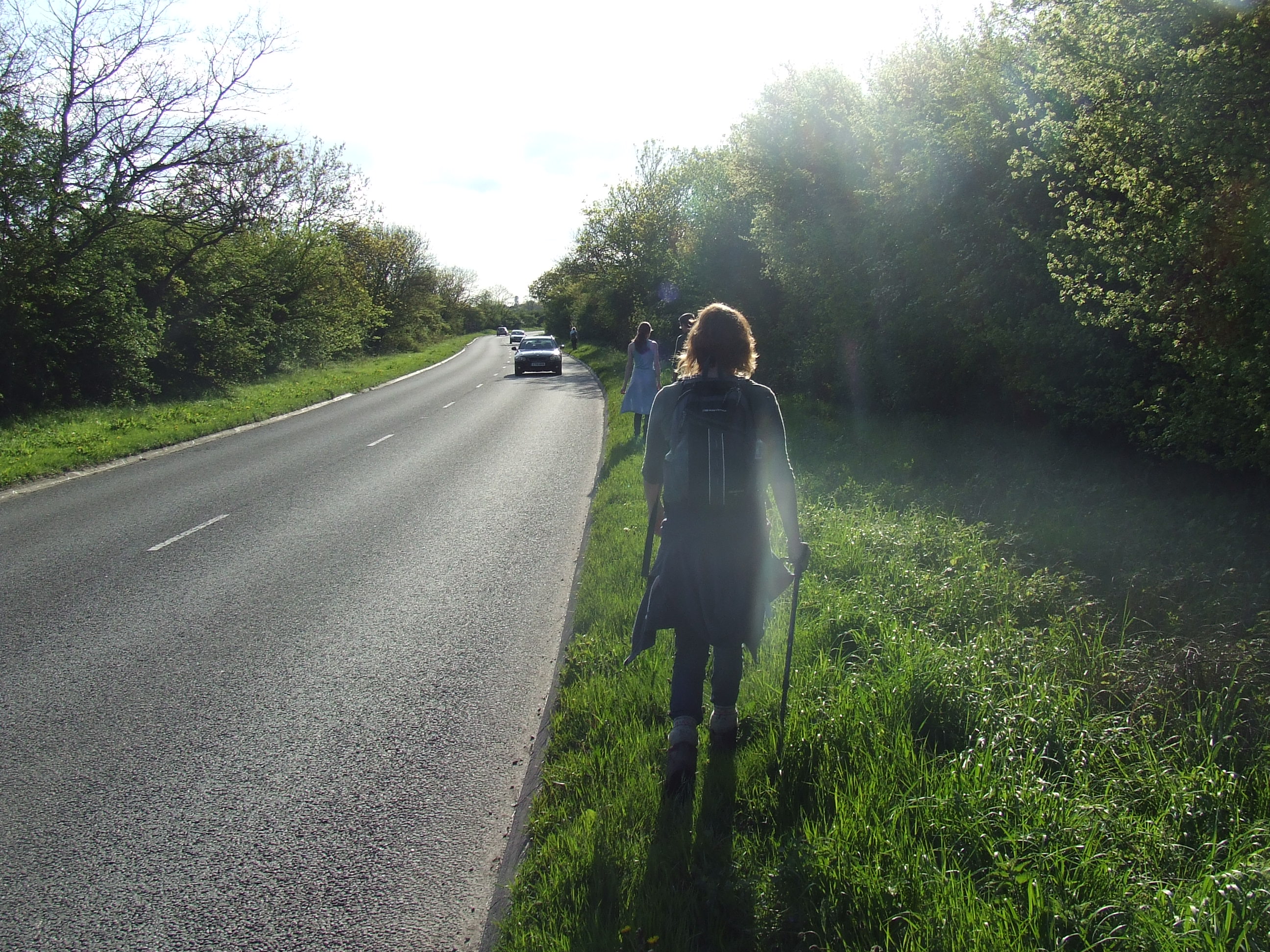
The end of the first day of perambulation, at 6:31pm, after 9 hours and 31 minutes of perambulation, and 18.7 miles having been covered, some of the party retired to the bar of Sally Pussey�s Inn.
Thanks to the management and staff at Sally Pussey�s Inn (and the staff at Arkells Brewery).
the pastoral responsibility of St Marys Lydiard Tregoze,
our parish neighbours being St Bartholomew & All Saints, Royal Wotton Bassett.

At Sally Pussey�s Inn [SU089828] the boundary heads West on the North side of Swindon Road A3102.
There is a Lydiard Tregoze boundary stone at [SU088828] on the north side of the road, and another Wootton Bassett boundary stone on the south side.

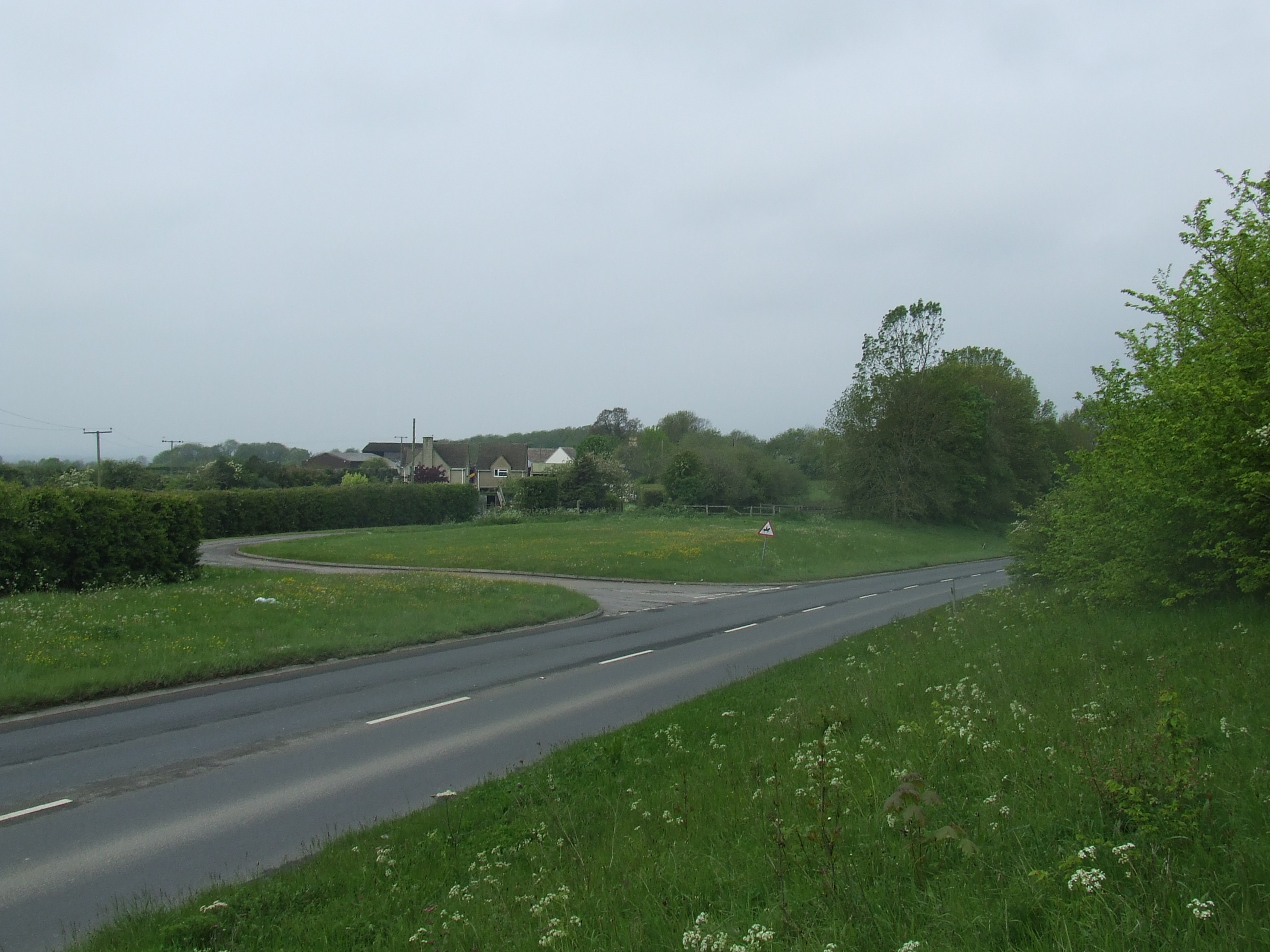
The boundary follows the hedgerow west along the North side of the Swindon Road, the distance from the road varying as clearly the new line of the road has been straightened. At the Woodshaw roundabout the line is some 10m north of the roundabout roadside. The hedgerow is clearly visible. The boundary and the road continue WNW.
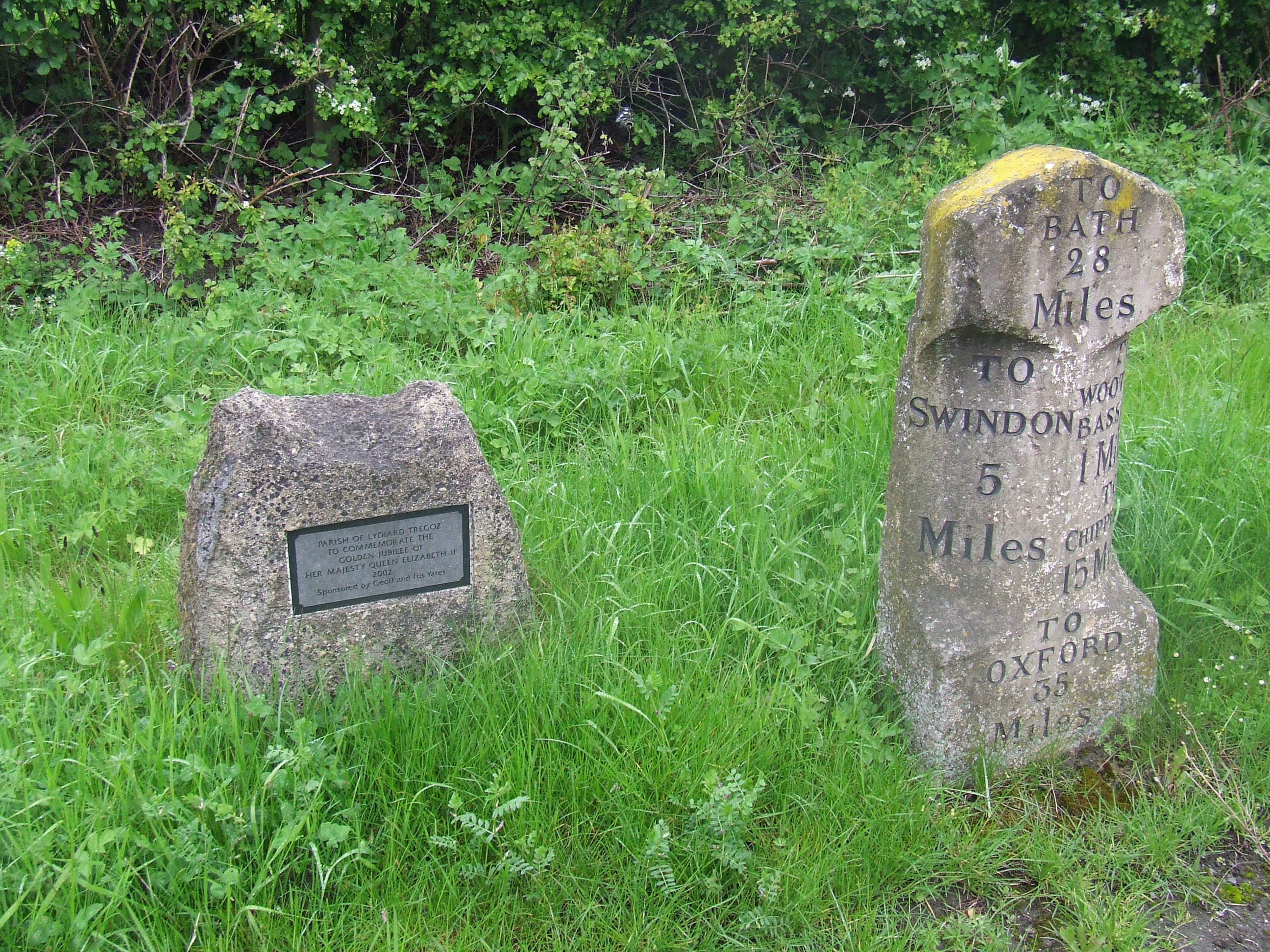
At [SU080831] there is lay by on the north side of the road, just west of the Stoneover Lane turning. On the grass verge of this lay by in a delightful situation is an old milestone and a new parish boundary stone.
The boundary and the road continue NW, the boundary following the hedge line some metres from the roadside.
At [SU077834] the boundary and associated hedgerow trend further to the north from the road and the boundary heads across the car lot at the back of the Coped Hall filling station, in front of the service shed and along a hedgerow behind some derelict sheds and back towards the road at the roundabout.

We walked across the car lot to examine the hedge and crossed to the hedgerow by the service shed, over a stile and followed the field boundary on the North side of the hedge. This section is private property including the Midge Hall Farm field off the public footpath, but we walked with permission. We climbed the field gate and returned to the Coped Hall roundabout at [SU075835].
The civil parish boundary seems to have been tidied and runs down the centre of the main road whereas our parish boundary crosses the roundabout at a jaunty angle. There is a boundary stone on the south verge of the (new) Malmesbury Road B4042B next to the roundabout at [SU074836], marking the civil parish boundary.
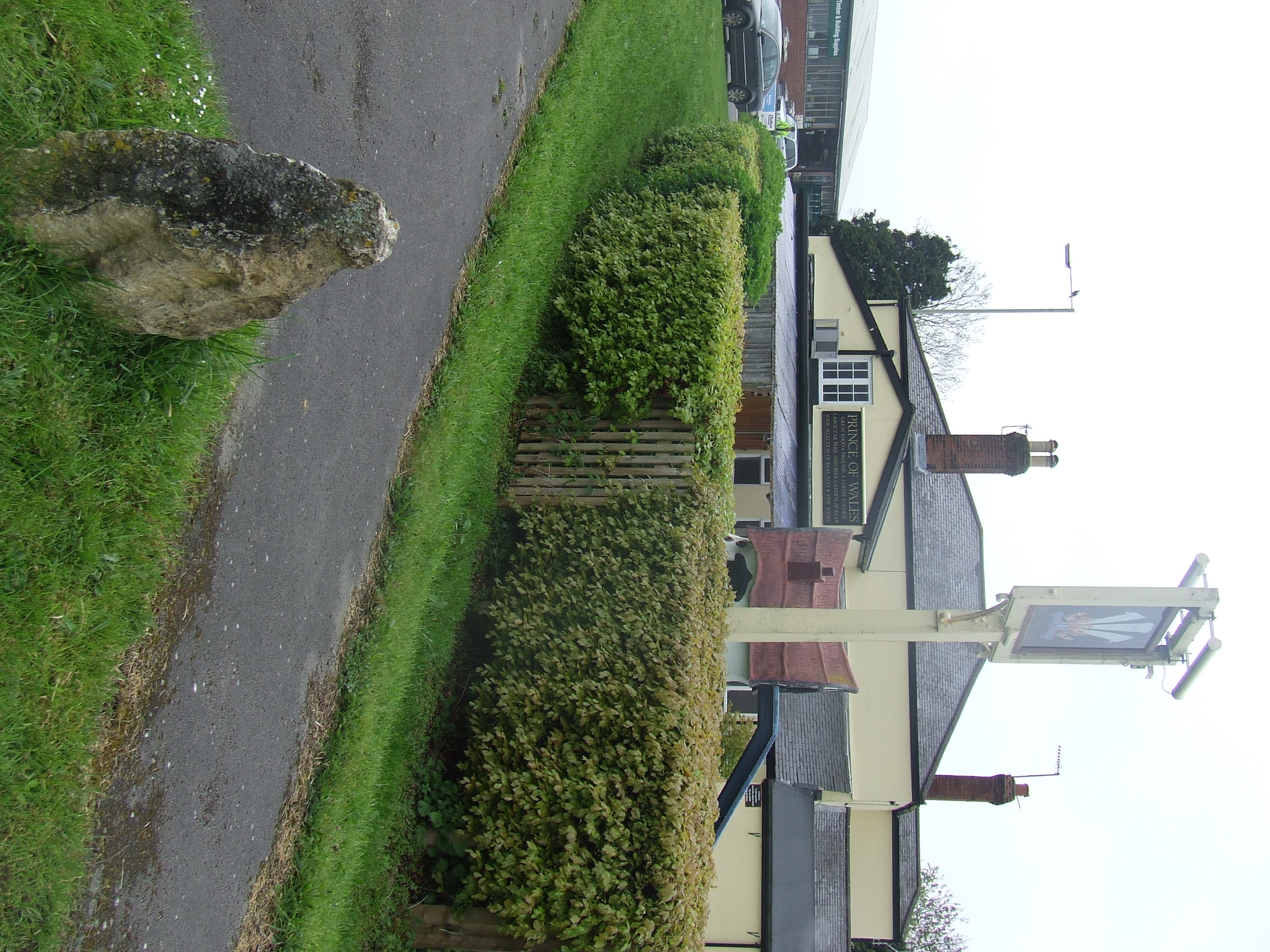
This next section of the parish boundary to Ballards Ash almost certainly follows the line recorded in 1225. Then ‘Bradon Lane’ was part of the route from ‘Volcan Baillardi’ (Ballardrsquo;s Ash) to Wootton Bassett church (clearly they walked in the other direction!)
Our boundary heads across the roundabout and heads for the back of the Prince of Wales public house, crossing the beer garden and car park and heading down a hedge line between the houses to the west of the pub. We crossed the road at the roundabout and walked down Old Malmesbury Road and inspected the hedge lines from the front drives of various houses.
We continued NW along the hedgerow as it led back towards Malmesbury Road. The boundary here crosses the existing road at an angle, to the North side and follows the clear line of a curving hedgerow for a few 10s of metres before crossing the road again back to the South side at the front drive of the Learning Curve Day Nursery at [SU071838] and follows the South side of the road for a while. So did we.
Before the Ballards Ash Sports Ground, where the high hedgerow at the South side of the road disappears leaving a fence with a copse behind at [SU070839], the boundary crosses the road at an angle to the North side. It is feasible that a tree at the end of the hedge on the left and an isolated tree on the right (to the left of the field gate, and directly opposite a bungalow) at [SU070840] mark the boundary here.
The boundary crosses from the tree back across to the South side of the road for a few 10s of metres. The front property boundaries of the bungalow, and the Ballards Ash Sports ground next to it probably define the verge of an old line of the road; this is clearly related to our boundary line. The boundary follows parallel to the hedge to the north west of Ballards Ash Sports Ground and at [SU069841] crosses the road to follow the hedge line on the north side on private property and behind and through outbuildings to the right of the houses. The boundary then turns left and heads along the front margin of the houses, clearly following a sharp bend on the old line of the road. Apart from clues in the hedge lines, there is nothing to mark the boundary here.
It was not convenient for us to inspect the boundary at this time. So we kept on crossing the road …
The boundary exits the private property after the wooden fence on the right and follows the front wall of house at The Knoll, crossing the road at an angle at [SU068842] back to the South side again, and runs almost parallel to the front property boundary of the house on the left where there is an evident bank from a grubbed out hedgerow running across the front garden. The boundary then continues parallel to the front fence of Baynards Ash Farm and then the front wall of the farmhouse. At [SU067842] the boundary crosses the existing road again paralleled on the left by the front wall of Baynards Ash Farm house and on the right by the high hedgerow in front of Ballards Ash Farm. It is suspected that the boundary here follows the centre line of an old route of the road, since straightened, though there is nothing to mark it. We kept on crossing the road …
In front of Ballards Ash Farm the boundary turns left again and heads West across the front of the properties there. An isolated tree at the end of the track at [SU066843] probably defines the boundary here.
The boundary continues across a manure heap (nice!) and through its associated nettles and then diagonally down the bank back towards the road � clearly pre-dating the cutting needed by the road under the motorway bridge. The verge here is protected which seems reasonable as its been the line of Braydon Lane for at least 800 years!
At [SU065843] the road crosses the boundary again, ending up on the south verge just at the entrance to the lane to Folly Farm. The boundary then heads straight into the field at [SU064843]. There is nothing to mark the boundary here, though it would be a highly visible place. We kept on crossing the road …
The boundary heads west down the middle of the paddock and turns left to head out of the field across the lane at [SU063843] and into the property opposite (at Folly Farm). The house is outside the parish, the garage is inside. The boundary turns immediately behind the garage and follows a hedge line west across the next field then continues in a straight line just north of west across the M4 motorway. We looked over the gate [SU062844] at the motorway traffic, and thought about it …
Thanks to:
The management and staff at Sally Pussey�s Inn
The management and staff at Quin�s Performance Cars
Mr. & Mrs. Cooper, of Midge hall Farm
Mr. Richard Maxfield of Ballards Ash
Mrs. May at Highgate
for their assistance in researching this section of the route
Further thanks to Quin�s Performance Cars and Mr. Cooper for their permission to access the boundary
the pastoral responsibility of St Marys Lydiard Tregoze,
our parish neighbours being St Michael & All Angels, Brinkworth (part of the Woodbridge group of churches)
Having walked round and under the motorway bridge, and up to Folly Wood Lane we walked back down the lane to the motorway cutting at [SU060844]

At [SU060844], the boundary comes across the current line of the M4 motorway and heads W along the south side of the lane a couple of metres from the left hand verge. There is nothing to formally mark the boundary here. There are some old trees on the evident boundary line.

… some of the properties have grubbed up the hedge leaving evidence of an old bank or a line of trees or bushes across their front gardens.

… some stretches of existing hedgerow, bank and ditch follow the boundary line,
The boundary continues west on the line of the hedgerow and reaches the main road at [SU056845].
On the South side of the main, near to the road junction and next to the narrow lay by, there is a boundary stone at [SU057845].
The boundary continues to the west near to the south side of the main road.
At [SU055845] it turns slightly left (south) and heads across the front garden of the property on the left, and then through front right hand corner of the house at 51 Highgate, then crosses into the next field 20 (and then 5) metres from the road and heads back to the road at [SU053845] visible along the hedge line at the back of a rather strange triangular shaped lay by on the left / south side of the road. It�s triangular because of the parish boundary. There was no convenient way from the field back to the road so despite the enthusiasm of the landowner we didn�t walk across the garden and field. There is nothing formal marking the boundary here � apart from the usual hedge lines.
The boundary continues west along the road south side of the road; slightly to the south of the existing line of the hedge at the entrance to Park Grounds Farm, on the left at [SU052845] and across the northern boundary of the next field, rejoining the hedge at the side of the road before Highgate Cottages. We walked along the side of the road at the boundary or keeping it in view.
Here the road is inside the parish.
It was nice not to have to cross it.

On the left / south side of the road at [SU046847] there is a Milestone (marked on OS maps). There is also a recent boundary stone here.
The boundary continues on the left hand / south side of the B4042.
There are many large trees to indicate the boundary along this stretch of road.
At [SU042847] the boundary leaves the roadside heading along the hedge and then fence line at the south side of a copse of trees. At the end of the copse it continues just north of West across the next field heading for a corner of the public footpath at [SU040847]. As the boundary was in view we walked along the road and then down the public footpath (which was barely accessible and very overgrown).
This point probably corresponds to Tres Divisas mentioned in 1228.
The boundary turns right/north at the public footpath and follows it north east back to the road at a stile.
There is a boundary stone here, under the finger post indicating the footpath.

There is a road sign saying ‘Parish of Lydiard Tregoz’ a few metres east of here on the north side of the road, and facing west, which marks the boundary at this point.
The boundary crosses the road and leaves the roadside on a public footpath through a gate. This part of the boundary � as far as and along Woodbridge Brook (then called Garsiburn or Garseburn) are mentioned as the boundary of Bradon Forest in 1225, 1228 and 1279
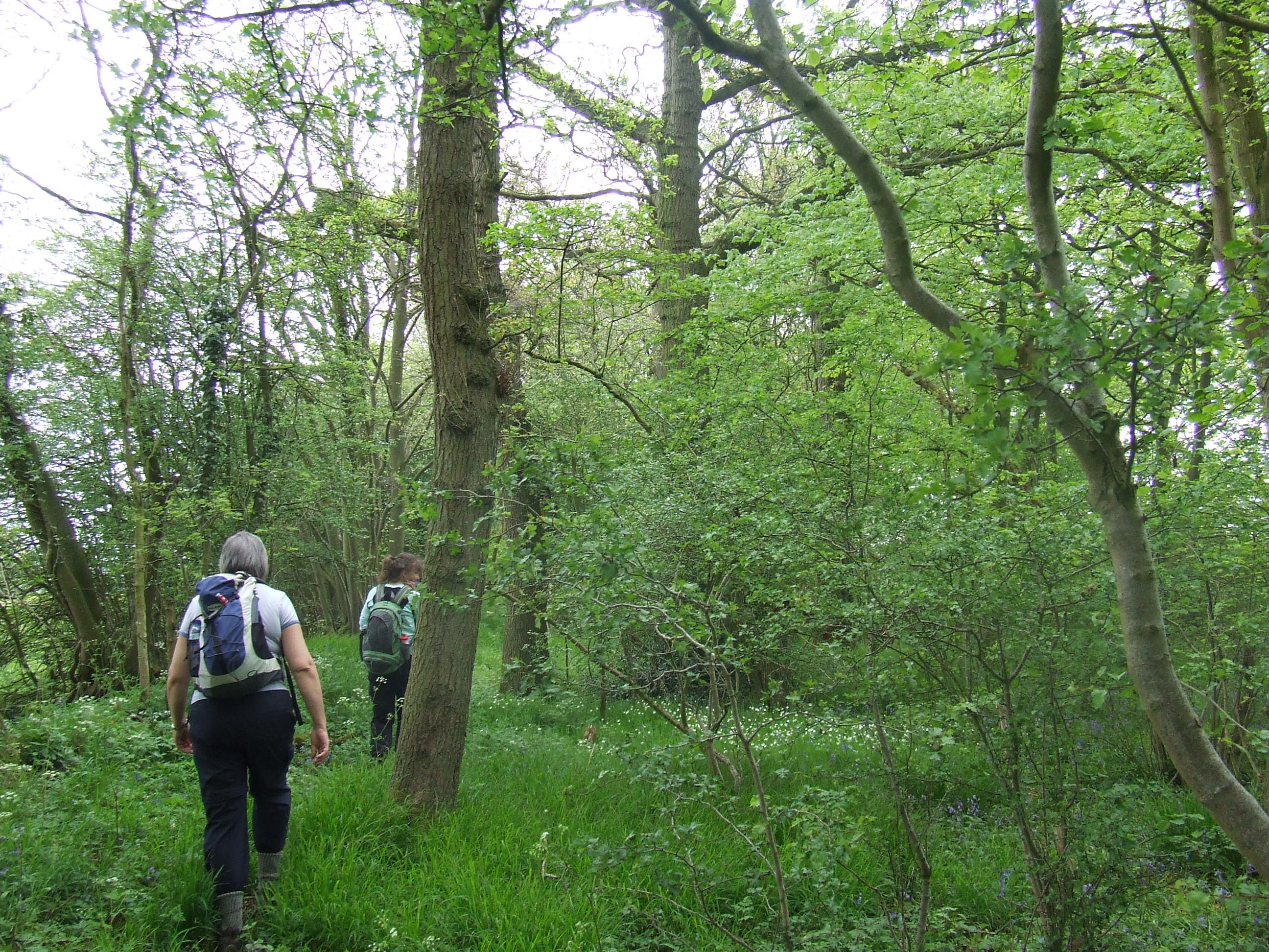
At [SU 841848] the public footpath bears right (east), the boundary bears left (north) and heads along the hedgerow to the left. We walked across two fields, observing a deer in one of them, through a gateway and over a slanting gate, which presented the trickiest traverse of the day. We clambered elegantly, walked on north, and reached a wide hedgerow junction at [SU041851] Apart from the hedgerows there is nothing to mark the boundary here.
The boundary follows the hedgerow on our left, straight ahead. We walked across a prone barbed wire fence, through the hedgerow and climbed right over wire fence with rails set for climbing over.
We landed at the South end of the Ditch Field of Echo Lodge Meadows, a wildlife reserve administered by Wiltshire Wildlife. The boundary continues in the hedgerow on the left northwards towards Woodbridge Brook,
At Woodbridge Brook [SU041852] our boundary goes left along the line of the stream.
There is a boundary that goes right along the stream too; this probably defines the boundary between Lydiard Tregoze (south of the brook) and Lydiard Millicent (north of the brook).
Pastoral responsibility changes here, from St Marys Lydiard Tregoze to All Saints Lydiard Millicent.
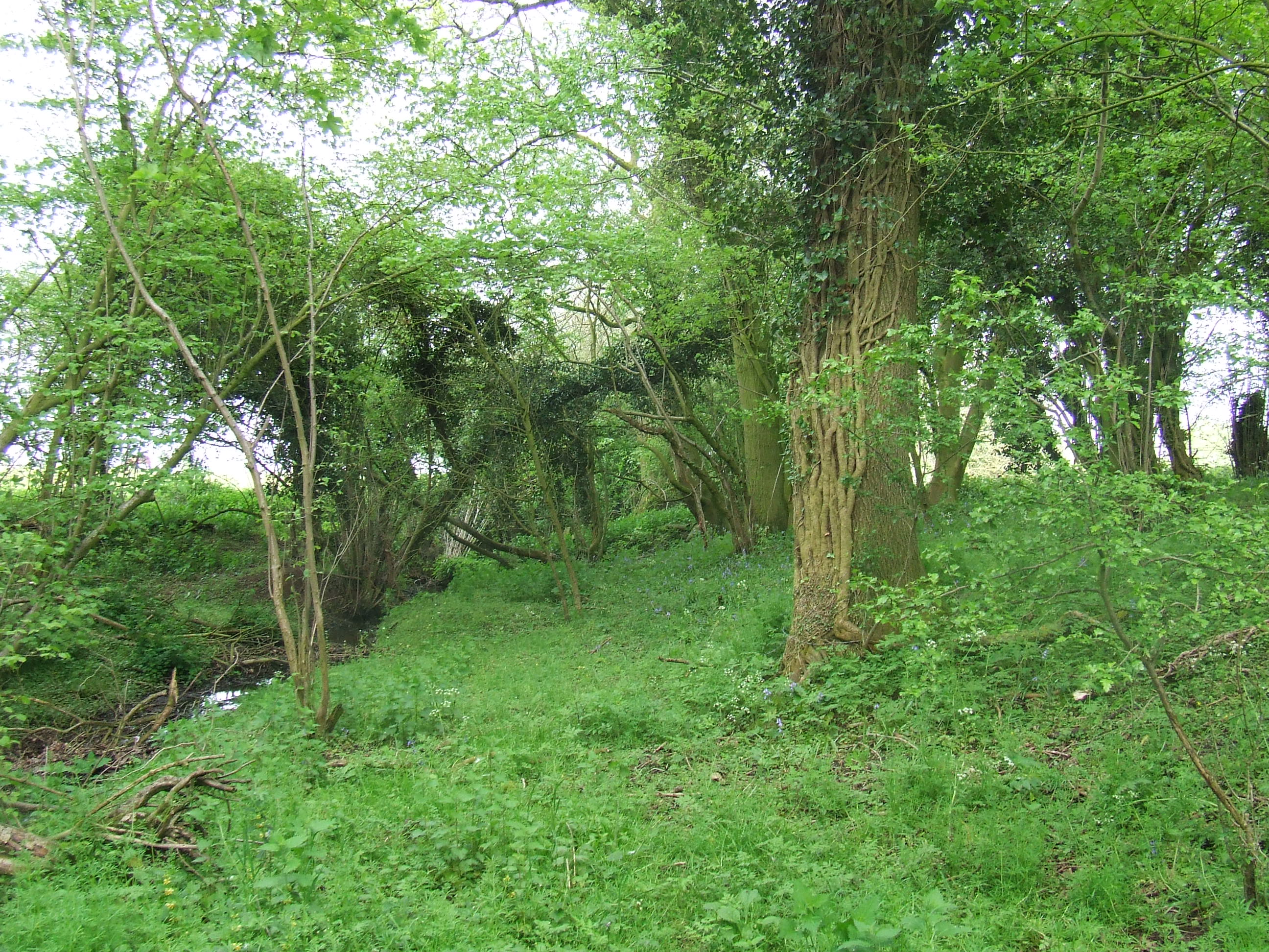
We crossed the stream to the north side and followed its line as closely as feasible to the west and as its bends, to the North West. There is nothing apart from the line of the stream to mark the boundary here. At [SU038854] we had to leave the edge of the stream and go round a field to the north. We headed for Webbs wood car park and a lunch date.
After lunch we walked NW down the entrance lane to Webbs Wood to reach Wood Lane, turned left and walked to the bridge where the road goes over Woodbridge Brook, at [SU036857]. There is a boundary stone here, on the eastern side of the road just south of the bridge over the stream.


Thanks to:
Mr. Richard Gardner of East End Farm Livery Stables
Mr. and Mrs. Guiseppe Papa of Peatmoor
for their assistance in researching this section of the route
Further thanks Mr. Gardner and Mrs. Papa for their permission to access the boundary
the pastoral responsibility of All Saints Lydiard Millicent,
our parish neighbours being St Michael & All Angels, Brinkworth (part of the Woodbridge group of churches)
At [SU036857] the civil parish boundary goes north up Wood Lane then heads east again. Our boundary continues west following the line of Woodbridge Brook. Home Farm and the fields to the North of the stream are within our ecclesiastical parish. As access to the field to the west of the lane was not feasible at the stream, we walked south along the lane to a gate into the field at [SU036856] and walked back down inside the field edge. This is private property managed as a nature reserve and with no public access. We walked with permission.

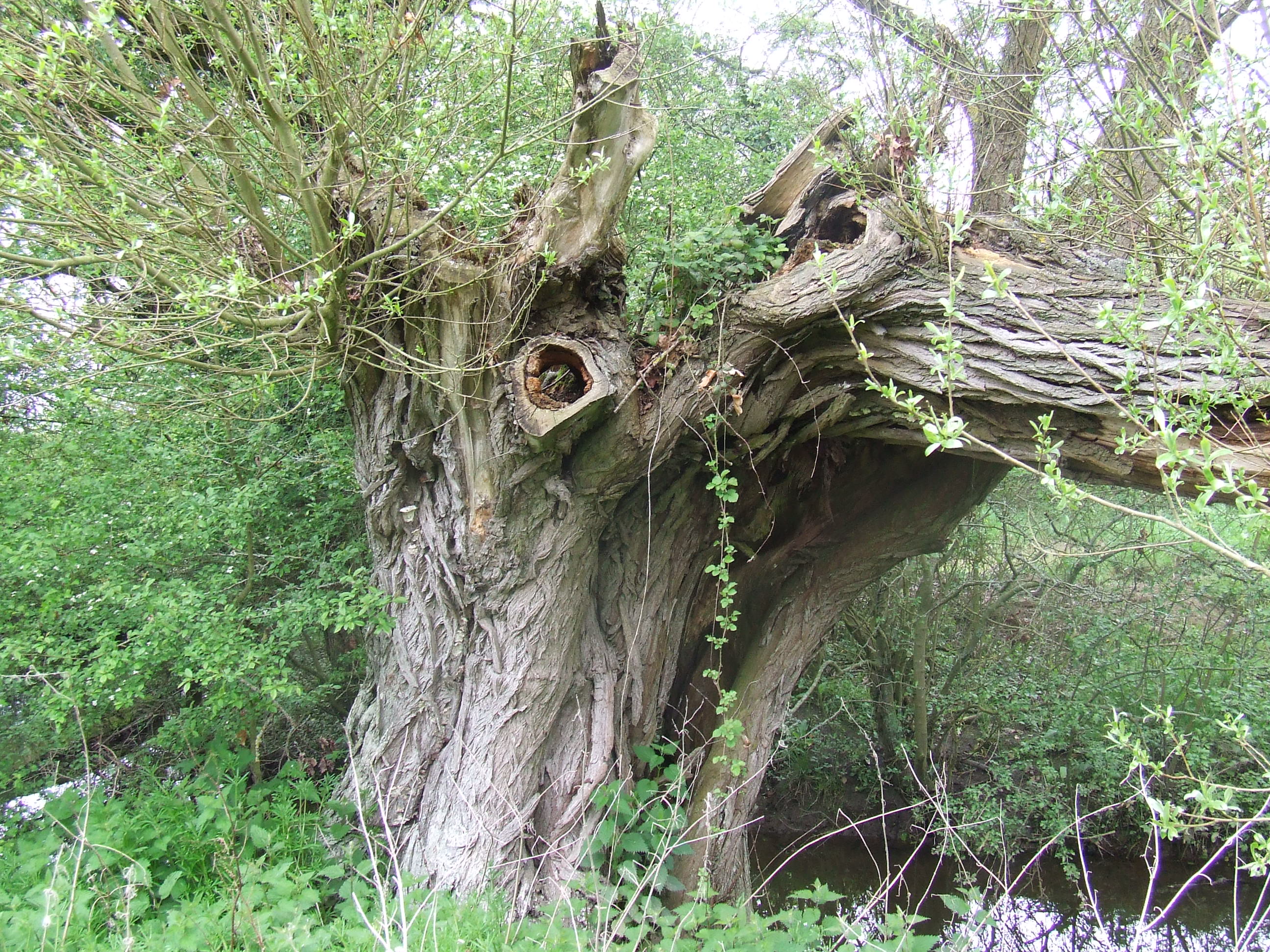
From [SU036857] the bank of the stream, we followed all the meanders of Woodbridge Brook, to the west.
We scrambled through a couple of field boundaries next to the stream, where the last users had clearly been deer, and reached a public footpath and bridge over the stream at [SU033858]. The next field boundary to the west was crossed at a stile on the public footpath just to the south of the stream, and we walked back to the bank of the stream, following it west.
We climbed a gate into a managed bird reserve with many new trees and continued to follow the stream west. Apart from the stream and lots of old trees there is nothing to mark the boundary. This is private property; we walked off the public footpaths with permission.

At [SU028857] the boundary turns north along a tributary stream that flows south from Somerford Common. We scaled an electric fence and turned right (north) along a farm track behind Woodside Farm, crossing the line of another electric fence with the assistance of the owner.
We followed the line of the stream and entered a wide hedgerow behind the land-owner�s aviary.
At [SU028858] we reached the westerly extent of our parish and turned right (east) for home. The wide hedgerow here is clearly managed as a wildlife reserve with many wild flowers and splendid trees. There�s a delightful path too. This is private property, we walked with permission.
The boundary follows this hedgerow northeast then east, though there is nothing to mark it. We walked inside the hedgerow and through a couple of gates, back to the public footpath which crosses the hedgerow at [SU033860] at a double stile.

We walked to the north side of the hedge and continued on the public footpath to the west. The boundary here follows the hedge to the west but there is nothing to mark it.

At [SU038862] the boundary, the hedge and the public footpath all reach Wood Lane again. There is nothing to mark the boundary here. The boundary crosses the road just south of the bend and heads into the woods to the south of Wood Lane. This is a wide hedgerow with a distinct ditch and bank with many mature trees, the boundary running about 5 metres south of the existing road way. It is on private property and managed as a wildlife reserve. There is no public access here. It was not convenient for the landowner to allow us access at the time we were there, so we made do with walking west along the south side of Wood Lane and observing the hedgerow which is mostly visible. Apart from the hedge, bank and ditch on the boundary line there is nothing to indicate the boundary here.

At [SU040862] Queen Street Braydon joins Wood Lane from the left, our parish neighbours change here from St Michael & All Angels, Brinkworth (part of the Woodbridge group of churches) to the North of and including Wood Lane and to the West of Queen Street, to Purton Evangelical Group of St Mary’s Purton and Purton Methodist Church to the North of and including Wood Lane, and to the East of Queen Street. There is a boundary stone here.
Thanks to:
Mr. R. and Mrs. S Russell of Church Farm, Brinkworth,
Mr. and Mrs. James of Woodside Farm, Brinkworth,
Mr. Laurence Bristow, for many years with Brinkworth Parish Council
Ms. Lysana Robinson of Oaklands
for their assistance in researching this section of the route
Further thanks to Mr. Russell and Mrs. James for their permission to access the boundary.
the pastoral responsibility of All Saints Lydiard Millicent,
our parish neighbours being Purton Evangelical Group of St Mary’s Purton and Purton Methodist Church

At [SU040862] the Queen Street junction our parish boundary is a few metres to the South of Wood Lane � and follows a ditch and bank through woodland. There are many trees in the hedge. As we follow Wood Lane to the East the parish boundary comes closer to the current line of the road and is often visible as a line of trees or a slight bank in the front gardens or road frontage of the properties on the right hand (South) side. Apart from theses clues there is nothing to mark the boundary here.
The boundary continues towards The Firs where it crosses the road on a line that may be parallel to the hedge on the right at [SU047863] and enters The Firs wood for a few metres before re-emerging to join the hedge line on the left of the road at the gate at [SU049863]. There is nothing apart from the clues in the line of hedges to mark the boundary here.
The boundary follows the left hedgerow (North side, though the OS map implies the civil parish boundary is at the right hand South side) along Wood lane to the bend at [SU052863]. The OS (25k “Explorer” series) map shows a boundary stone supposedly on the right hand side of the road at the field boundary. This is not evident, despite some searching. Local knowledge suggests it was stolen (!) about 10 years ago.
The boundary continues to follow the left (North, though the OS map continues to show the civil parish boundary at the right hand South side) hedgerow along Wood Lane to its junction with the B4696 “Ashton Keynes” road, and across it at [SU055865] where there is a boundary stone at [SU 0561 8651] on the East side of the road.
At [SU055865] the boundary continues along a hedge line behind Plain Farm house and across the farmyard, continuing up the field boundary to the East of the Farm.
Due to animal operations and ground condition, we diverted a few metres to the North around the Farm buildings and regained the boundary line just to the East of them. There is an evident hedge line with several large trees to mark the boundary here. At this point we also gained a dog, that didn�t want to go home, clearly wanting to perambulate with us (… and seemed to know the way)
At [SU059866] the boundary continues up the middle of a field, about 20-30 metres from the field boundary to the left. There is nothing evident to mark the boundary here. There access across (but not along) the boundary line on a public footpath.
At [SU063868] we diverted to the North of the boundary through a couple of gates and walked round to the West, then North then East of the fishing lake. The boundary crosses the fishing lake on an Easterly line to the island, then a Northerly line and crosses the field boundary to the North and goes round in a semi-circle about 20 metres in diameter to join the stream beyond to the East. There is nothing to be seen on the ground to mark the boundary line here, apart from a couple of trees and the stream in its ditch. There is no public access here.
The boundary continues to follow the stream upstream and broadly to the South.
This part of the parish boundary was recorded as a boundary of Bradon Forest in 1225 as the stream ‘without Gustinglee’
We diverted back to the public footpath at [SU064867] and walked to the bridge at [SU 0653 8673] where there is a boundary stone on the East side of both the stream and the bridge.
We followed the stream and the boundary upstream to a [SU065865] where we initiated the rescue of a horse stuck in a ditch, and continued on footpaths to the bottom of Green Hill and the road. The boundary follows the stream round and between the properties here and is not accessible; there is nothing to indicate it.
The horse was subsequently rescued, supposedly by the use of a JCB to lift it out of the stream. A vet saw to its grazed leg, and it is apparently fine.
The dog was tied up by someone who seemed to know its owner. A later enquiry revealed its location had been telephoned through and a daughter was dispatched in a van to deliver said animal. No dog rustlers we!
The boundary apparently, though for no discernible reason, heads up the left hand (East) hedge to SU066863) just short of Holly House (which is outside the parish) cuts across to include the road up to this point and the right hand (West) hedge row and back down the hill to [SU065864] just above the front gate of WoodSide, where it heads across their front garden and turns left back up the hill approximately parallel to the road and about 20 metres from it. The overall effect (apart from puzzlement) is to exclude the properties on the right hand (West) side of the road from the parish, but to include much of their gardens.. The boundary line then crosses the front garden of the Hollies on the right and crosses the side turning at [SU067862]. Apart from a few large tree stumps in the hedge on the South side of the lane there is nothing to mark the boundary here. The boundary continues across the garden on the cottages uphill from here and re-emerges to the lane at the right hand (West) hedgerow at [SU067862]. We walked round the road rather than across everyone�s gardens � as the line is visible from the road, if not actually marked by anything discernible.
Along this stretch the civil parish boundary is shown as being behind the Eastern property boundaries of all the properties on the East side of Green Hill. This may be much more sensible and includes all these properties in the civil parish of Lydiard Millicent, but is not so much fun.
At [SU068861] the corner of Green Hill, the ecclesiastical parish boundary crosses from the right hand (West) side of the lane to the left hand (North East then North) side of the lane, though there is nothing to indicate this apart from the clues in the property boundary lines.
Along the rest of Green Hill to the East, our boundary line follows the left hand (North) hedgerow and property frontages except where properties have been built or extended over the frontage towards the existing line of the road. The boundary is never more than a couple of metres from the road, to the North of it, and is clearly visible unless in someone�s front parlour, or garage. We walked along the road side to the bend at [SU077860].
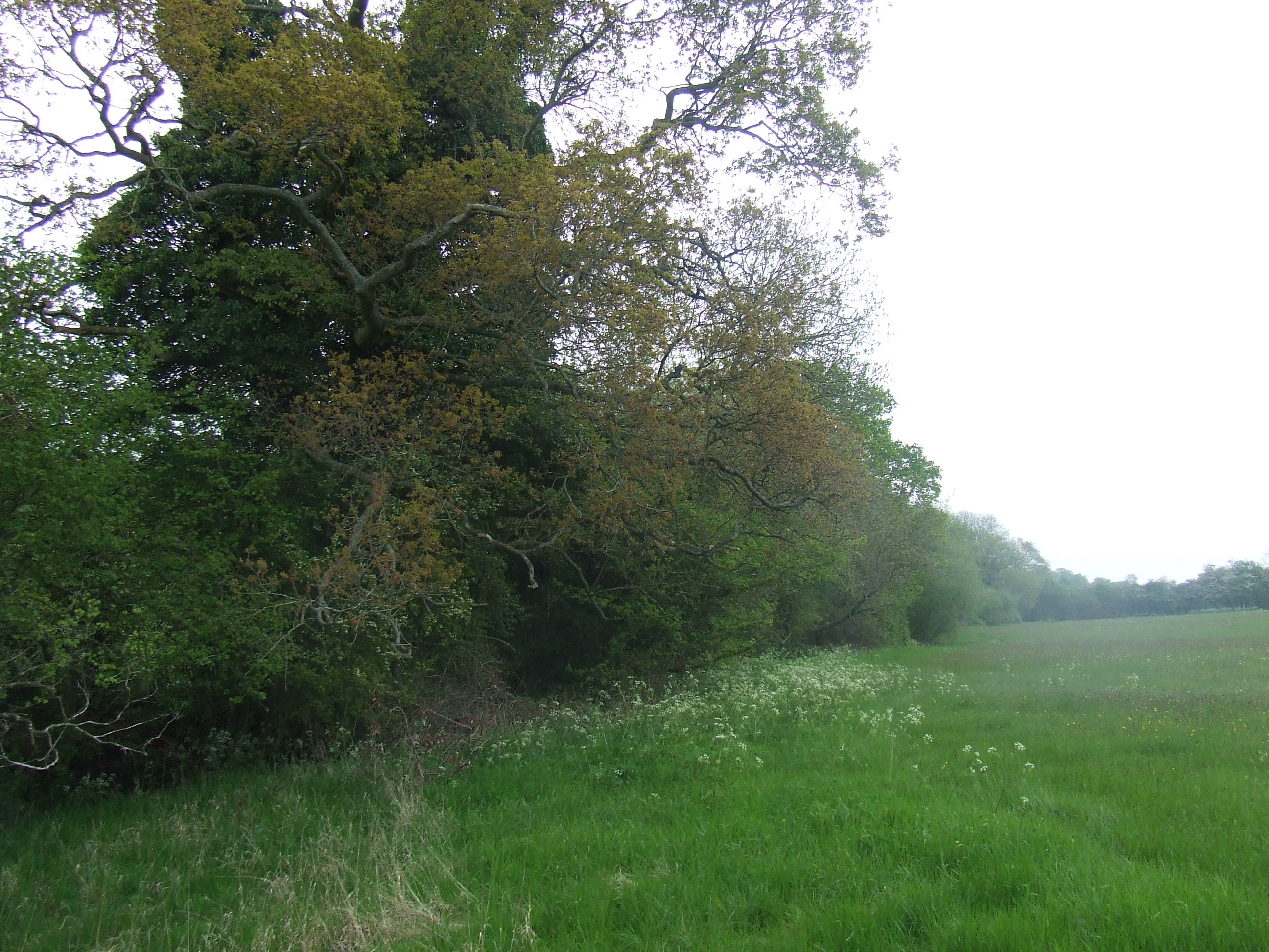
At [SU077860] the boundary line heads slightly left into the field to the North of the road and follows the (extremely wide) hedge Eastwards towards Restrop road.
This is the edge of the “Restrop Farm and Brockhurst Wood” Site of Special Scientific Interest, the geology, physiogeographic features, flora and fauna may not be destroyed, damaged or disturbed without committing an offence under Section 28 P(6) of the Wildlife and Countryside Act 1981 (as incorporated by the Countryside and Rights of Way Act 2000). We followed its line to the first field boundary, the stile on the public footpath goes in the wrong direction � heading towards the civil parish boundary which lies a field further North from here, so we returned to the road and walked East to the junction of Green Hill and Restrop Road. We turned left and walked down to the gate next to the hedge line where the boundary line emerges onto Restrop road at [SU079861]
Thanks to:
Mr. Malcolm Davies of Plain Farm
Mr. Mark Wakefield of Shaw,
Mr. Roger Gough of Woodside End
for their assistance in researching this section of the route
Further thanks to Mr. Davies, Mr. Wakefield and Mr. Gough for their permission to access the boundary
the pastoral responsibility of All Saints Lydiard Millicent,
our parish neighbours being Purton Evangelical Group of St Mary’s Purton and Purton Methodist Church

At [SU079861] the parish boundary crosses (W to E) Restrop Road; there is a boundary stone on the East side of the road under a road sign. The boundary continues in an Easterly direction following the line of the hedge and ditch field boundary. There is no public access to or along the boundary at this point. We walked along Green Hill to the back of 4 Green Hill where we gained the boundary with permission, via the field at the back of the commercial estate. There is no public access here. Apart from the hedge and ditch field boundary there is nothing to mark the boundary here. We walked East along the hedge and through two gates to Bagbury Lane.

At [SU085862] the boundary crosses (W-E) Bagbury Lane; there is a boundary stone here on the East side of the lane. The boundary line is also marked by trees in the hedgerow.

The boundary heads across the field on a line slightly North of East. We crossed a gate into the field to the East and walked East passing a small copes of trees on our left (to our North) and met a hedge and ditch field boundary at [SU087862] which we then followed broadly Eastwards.
The boundary follows the field boundary ditch until a public footpath crosses it at [SU088863], there is a boundary stone here. The boundary then continues to follow the ditch and hedge eastwards, we diverted North to cross the next field boundary (and its deep ditch at a convenient stile on the public footpath, regained the boundary and followed in continuing on a North-East course.
Just before the next field boundary, at [SU090864) we crossed the ditch to our South and continued across a fence in a South-Easterly direction. There is no public access here. The boundary follows the ditch (which becomes a small stream) towards Church Place. There is nothing apart from trees at the stream, to mark the boundary at this point … though some of the trees are splendid …
There is no easy exit onto Church Place at this point, except for water, so we diverted South to the gate at [SU094861]
Thanks to:
Ms. Caroline James,
Mr. Simon Ward of The Old Farmhouse, Bagbury Lane
Mr. Jim Stubbs of Green Hill,
Mr. Michael Smith of Washpool, and
Mr. Burt Hoare of Manor Farm
for their assistance in researching this section of the route
Further thanks to Mr. Stubbs, Mr. Smith and Mr. Hoare for their permission to access the boundary
the pastoral responsibility of All Saints Lydiard Millicent,
our parish neighbours being Purton Evangelical Group of St Mary’s Purton and Purton Methodist Church
We crossed the road and walked back down Church Place to the stile at [SU094862]. The boundary follows the stream eastwards from Church Place/.the Purton Road along the Northern field boundary of two fields. There are many trees on the boundary line, but nothing else to mark it. We walked along the field boundary on a clear habitual path, though not clearly a public right of way, to [SU099864].
After crossing to the third field, the boundary seems to pass to the Northern side of the hedge but still follows its line. We stayed on the Southern side of the stream and hedgerow until a convenient stile allowed us to cross to the Northern edge of the hedgerow. The boundary leaves the stream here and follows the Northern boundary of a paddock, a field and Toomers garden centre site. This is off the public footpath; there is no public access here. Apart from the field boundaries there is nothing to mark the parish boundary.
We followed the field boundary until [SU102866] where we turned South on the re-directed public footpath to [SU102865] where there is a boundary stone. A few metres north of the boundary stone there is a convenient point to cross the fence into the field owned by Fox Mill Farm. There is no public access here.
The boundary goes East across the back garden of Beechwood House, about 5 metres from the boundary fence, the line is clearly visible from the field in some places, and there are several trees on the boundary line, though no other marker at this point. This is private property. The boundary line heads East towards Stone Lane.
At [SU104866] the boundary line turns North Eastwards around the Northern edge of the property boundary of Stone House Farm. There are trees and a field boundary hedge but nothing else to mark the parish boundary. There is no public access here.
The boundary follows the back fences of all the properties Eastwards along the Northern side of Stone lane and reaches Common Platt and the Washpool road at [SU190866] We diverted a little North of the boundary line past a fenced off area and exited by a gate onto the road at [SU109867]. Apart from property boundary fences there is nothing to mark the parish boundary here. The boundary heads North along the West side of the public road to the junction with Purton Road (B4553).
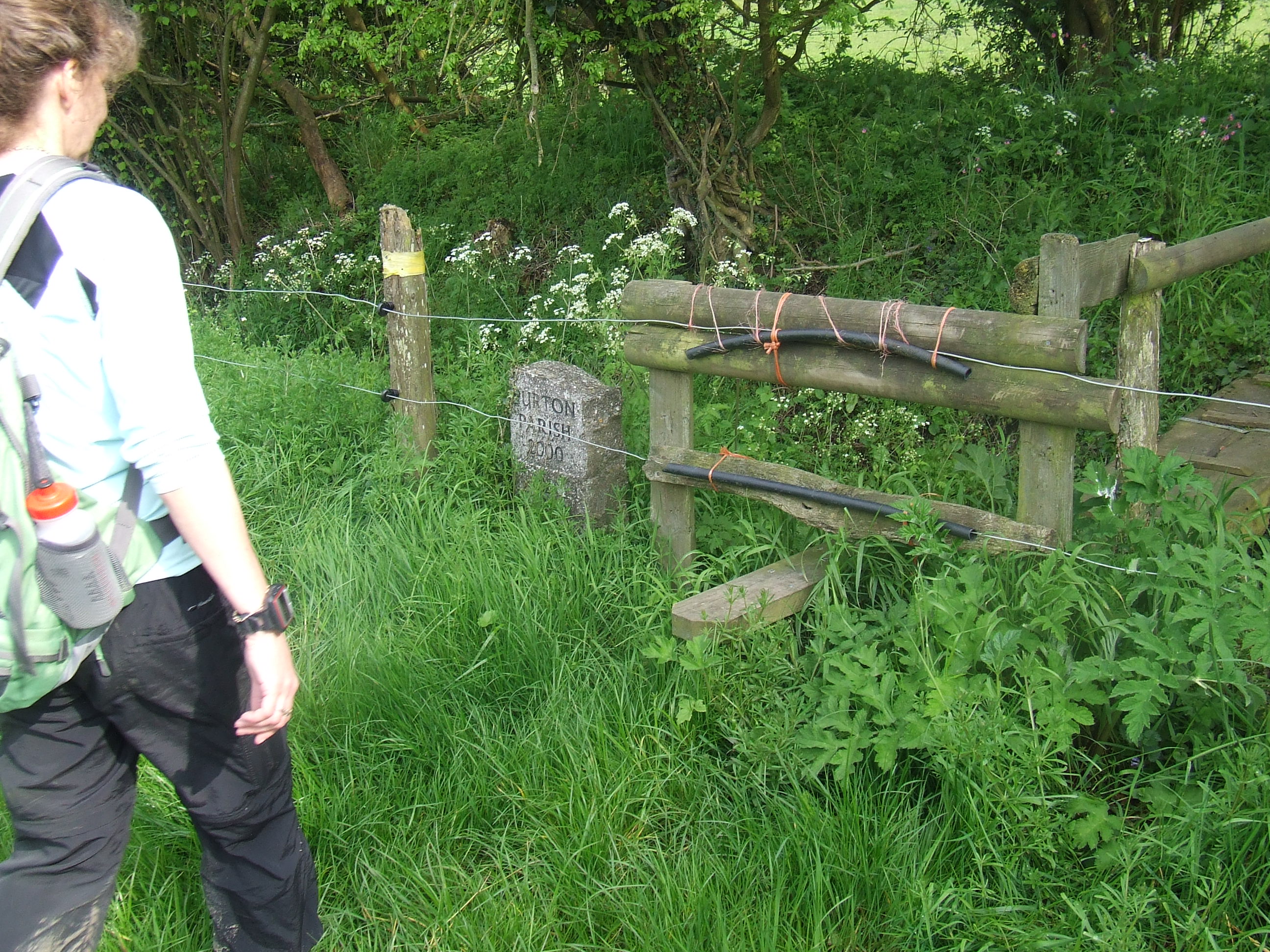
At [SU109867] the boundary turns right (East) onto the South side of Purton Road. There is a hedge and property boundaries lining the road for some of the route but there is nothing else to mark the parish boundary.
At [SU113867] the roundabout with Swinley Drive on the South Western corner there is a boundary stone indicating the end of Lydiard Millicent civil parish and the beginning of Swindon Borough. This does not correspond to our understanding of how the pastoral responsibilities are divided between our churches, but why should it?

East of the roundabout the parish boundary heads to the North side of the current line of Purton Road. There are several trees and a hedgerow to mark the boundary but nothing further to specifically indicate it.
At [SU116869] the boundary turns North East and heads along the Western side of the old route of Purton Road (Purton Road B4534 being a few metres to the East) towards Moredon Bridge. Apart from trees in the hedgerow there is nothing to mark the boundary here. This is a public road.
Thanks to:
Paul, James and the team at Toomers Garden Centre and
Mrs. Ann Orr-Ewing at Fox Mill Farm, Purton
for their assistance in researching this section of the route
Further thanks to Mrs. Orr-Ewing for her permission to access the boundary.
The perambulation finished at the Northernmost extent of our Parish, [SU118870] on the old Moredon Bridge.
The end of the second day of perambulation, at 6:03pm, after 8 hours and 3 minutes of perambulation, and 15 miles having been covered.
The total perambulation took 17 hours and 33 minutes and covered 33.7 miles.
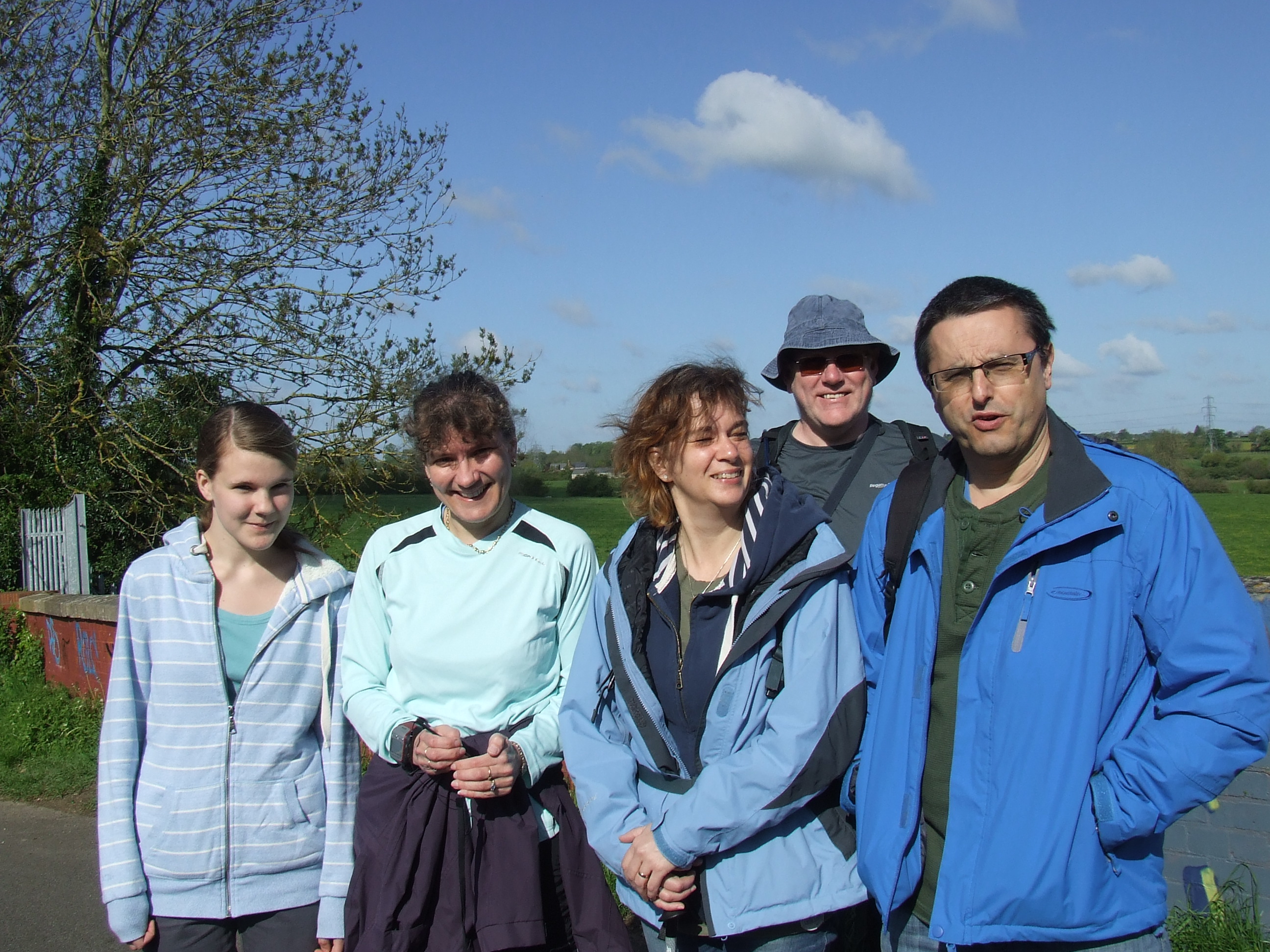
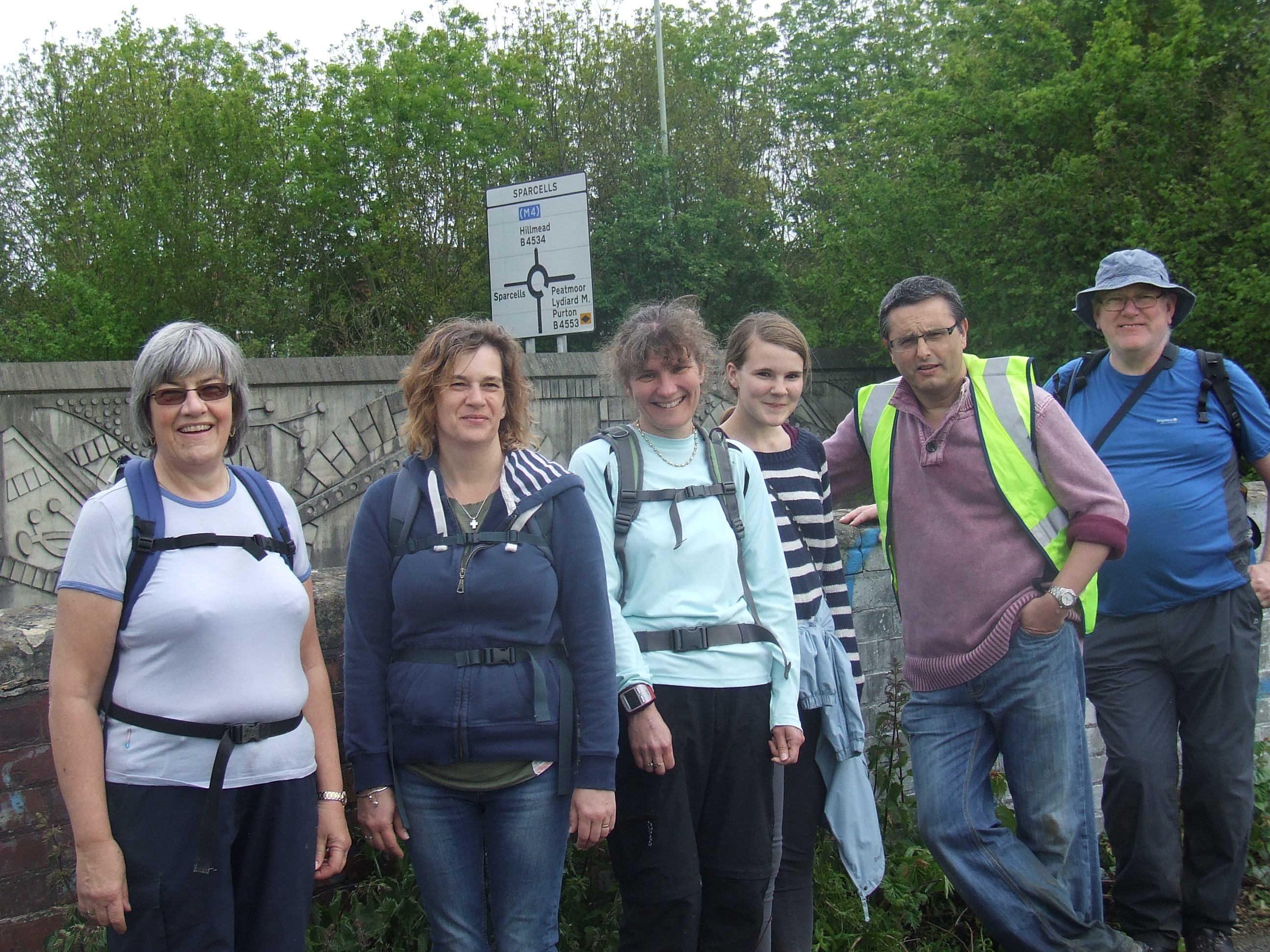
Many thanks are due to the continually cheerful perambulators:
Katherine Gilder, Lindsay Gilder, Mike Gilder, Pete Gilder, Janet Gray, Hannah Green, Sue Green, Rebecca Kershaw, Steve Kershaw, Brian Ray, Chris Scarisbrick
Northernmost extent of parish - SU118870 on the old Moredon Bridge
Southernmost extent of parish - SU113779 field corner just South and East of the isolated tree at the edge of our detached field
Max N-S extent (OS GR 870-779 = 91 * 100m =) 9.1 km or 5.7 miles
Easternmost extent of parish � SU134848 Mannington Rec where the footpath from Morris Street crosses the River Ray
Westernmost extent of parish - SU028858 the end of the hedgerow at the tributary of Woodbridge Brook � at the back of Woodside Farm
Max E-W extent (OS GR 134-028 = 106 * 100m =) 10.6 km or 6.6 miles
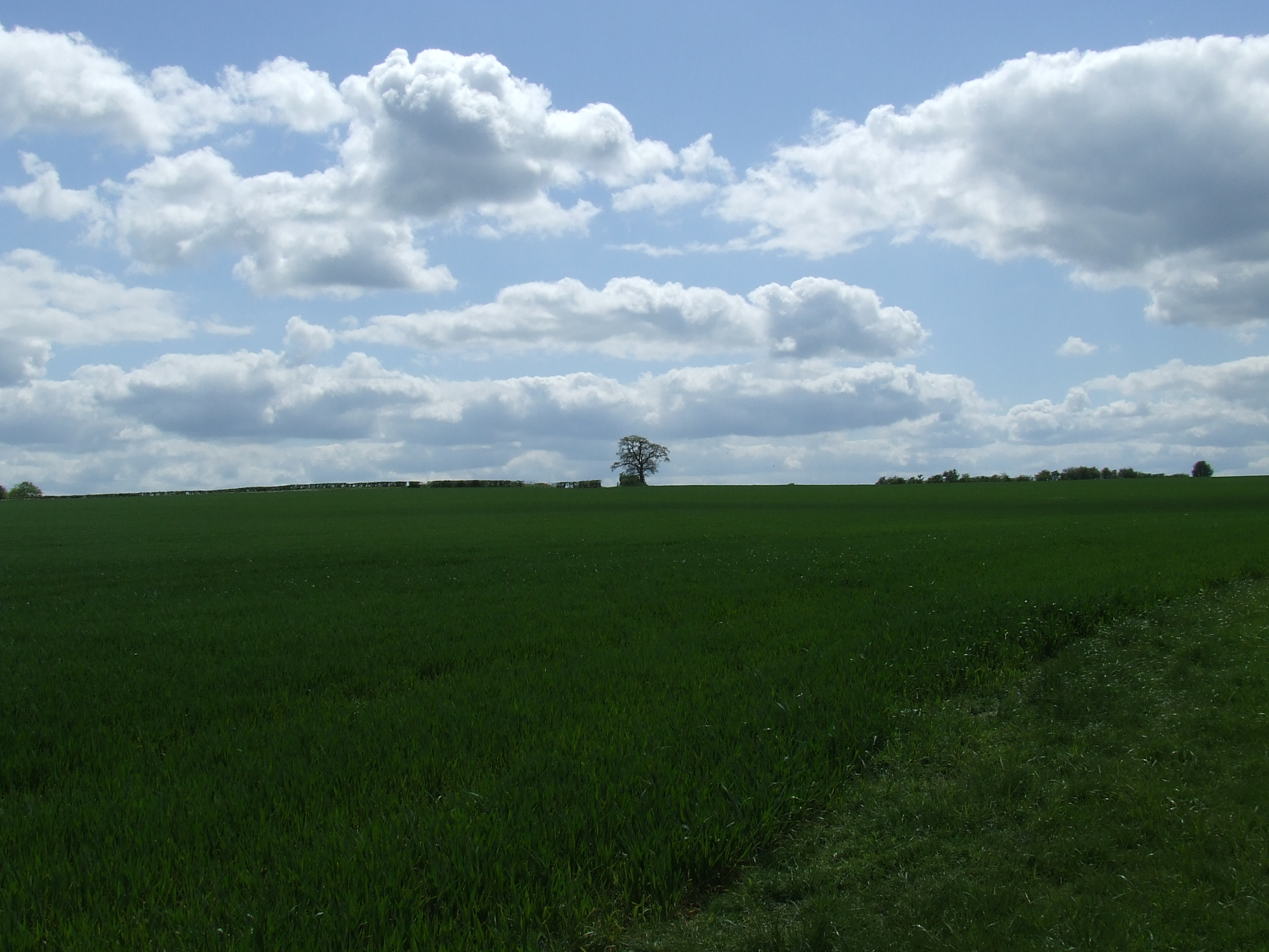
Map coordinate centre (not centroid � that�s complicated) � SU 0810 8245 The Noremarsh Roundabout just below Woodshaw, Royal Wootton Bassett. Outside the parish!
Boundary length (as perambulated, not the exact boundary) 54.2 km or 33.7 miles.
Wiltshire and Berkshire Canal was opened in 1810, and catastrophically drained in 1901. The first section was re-opened in 1989
Great Western Railway completed in 1841
Cheltenham and Great Western Railway opened in 1841 as far as Cirencester. 1872 Line converted from broad gauge to standard gauge. British Rail reduced the line to single track in 1968
Swindon and Cheltenham Extension to the Swindon, Marlborough and Andover Railway opened in 1881 and closed on 10 September 1961
M4 - completed on 22 December 1971
Download the historical notes (15 pages, 0.7 Mb, PDF)
This page last modified